MIDGE-BASED AIR TEMPERATURE INFERENCE MODEL PROVIDES EVIDENCE FOR PEAK
advertisement

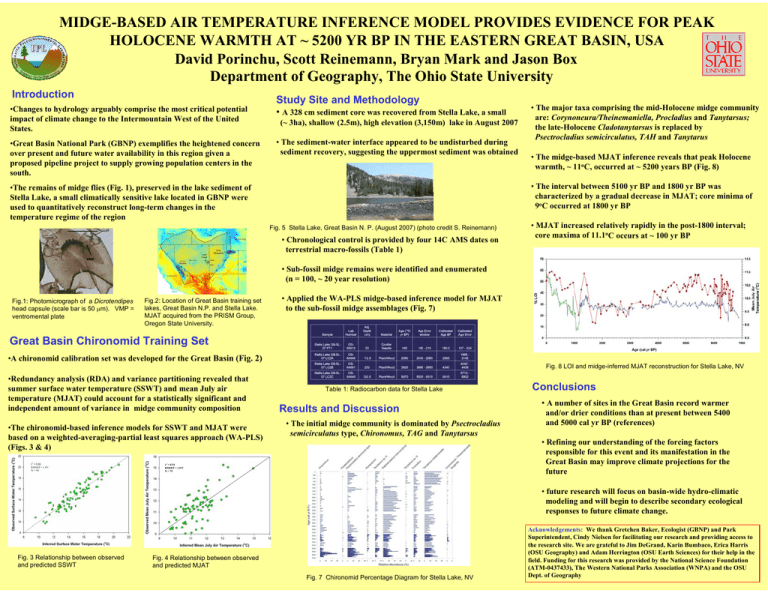
MIDGE-BASED AIR TEMPERATURE INFERENCE MODEL PROVIDES EVIDENCE FOR PEAK HOLOCENE WARMTH AT ~ 5200 YR BP IN THE EASTERN GREAT BASIN, USA David Porinchu, Scott Reinemann, Bryan Mark and Jason Box Department of Geography, The Ohio State University Introduction Study Site and Methodology •Changes to hydrology arguably comprise the most critical potential impact of climate change to the Intermountain West of the United States. • A 328 cm sediment core was recovered from Stella Lake, a small •Great Basin National Park (GBNP) exemplifies the heightened concern over present and future water availability in this region given a proposed pipeline project to supply growing population centers in the south. • The sediment-water interface appeared to be undisturbed during sediment recovery, suggesting the uppermost sediment was obtained (~ 3ha), shallow (2.5m), high elevation (3,150m) lake in August 2007 • The major taxa comprising the mid-Holocene midge community are: Corynoneura/Theinemaniella, Procladius and Tanytarsus; the late-Holocene Cladotanytarsus is replaced by Psectrocladius semicirculatus, TAH and Tanytarus • The midge-based MJAT inference reveals that peak Holocene warmth, ~ 11oC, occurred at ~ 5200 years BP (Fig. 8) • The interval between 5100 yr BP and 1800 yr BP was characterized by a gradual decrease in MJAT; core minima of 9oC occurred at 1800 yr BP •The remains of midge flies (Fig. 1), preserved in the lake sediment of Stella Lake, a small climatically sensitive lake located in GBNP were used to quantitatively reconstruct long-term changes in the temperature regime of the region Fig. 5 Stella Lake, Great Basin N. P. (August 2007) (photo credit S. Reinemann) • Chronological control is provided by four 14C AMS dates on terrestrial macro-fossils (Table 1) • MJAT increased relatively rapidly in the post-1800 interval; core maxima of 11.1oC occurs at ~ 100 yr BP VMP • Sub-fossil midge remains were identified and enumerated (n = 100, ~ 20 year resolution) Fig.1: Photomicrograph of a Dicrotendipes head capsule (scale bar is 50 μm). VMP = ventromental plate Fig.2: Location of Great Basin training set lakes, Great Basin N.P. and Stella Lake. MJAT acquired from the PRISM Group, Oregon State University. • Applied the WA-PLS midge-based inference model for MJAT to the sub-fossil midge assemblages (Fig. 7) Great Basin Chironomid Training Set •A chironomid calibration set was developed for the Great Basin (Fig. 2) Fig. 8 LOI and midge-inferred MJAT reconstruction for Stella Lake, NV •Redundancy analysis (RDA) and variance partitioning revealed that summer surface water temperature (SSWT) and mean July air temperature (MJAT) could account for a statistically significant and independent amount of variance in midge community composition •The chironomid-based inference models for SSWT and MJAT were based on a weighted-averaging-partial least squares approach (WA-PLS) (Figs. 3 & 4) Table 1: Radiocarbon data for Stella Lake Results and Discussion • The initial midge community is dominated by Psectrocladius semicirculatus type, Chironomus, TAG and Tanytarsus Conclusions • A number of sites in the Great Basin record warmer and/or drier conditions than at present between 5400 and 5000 cal yr BP (references) • Refining our understanding of the forcing factors responsible for this event and its manifestation in the Great Basin may improve climate projections for the future r2 = 0.54 RMSEP = 1.0oC N = 79 • future research will focus on basin-wide hydro-climatic modeling and will begin to describe secondary ecological responses to future climate change. Fig. 3 Relationship between observed and predicted SSWT Fig. 4 Relationship between observed and predicted MJAT Fig. 7 Chironomid Percentage Diagram for Stella Lake, NV Acknowledgements: We thank Gretchen Baker, Ecologist (GBNP) and Park Superintendent, Cindy Nielsen for facilitating our research and providing access to the research site. We are grateful to Jim DeGrand, Karin Bumbaco, Erica Harris (OSU Geography) and Adam Herrington (OSU Earth Sciences) for their help in the field. Funding for this research was provided by the National Science Foundation (ATM-0437433), The Western National Parks Association (WNPA) and the OSU Dept. of Geography


