3/8/2016
advertisement
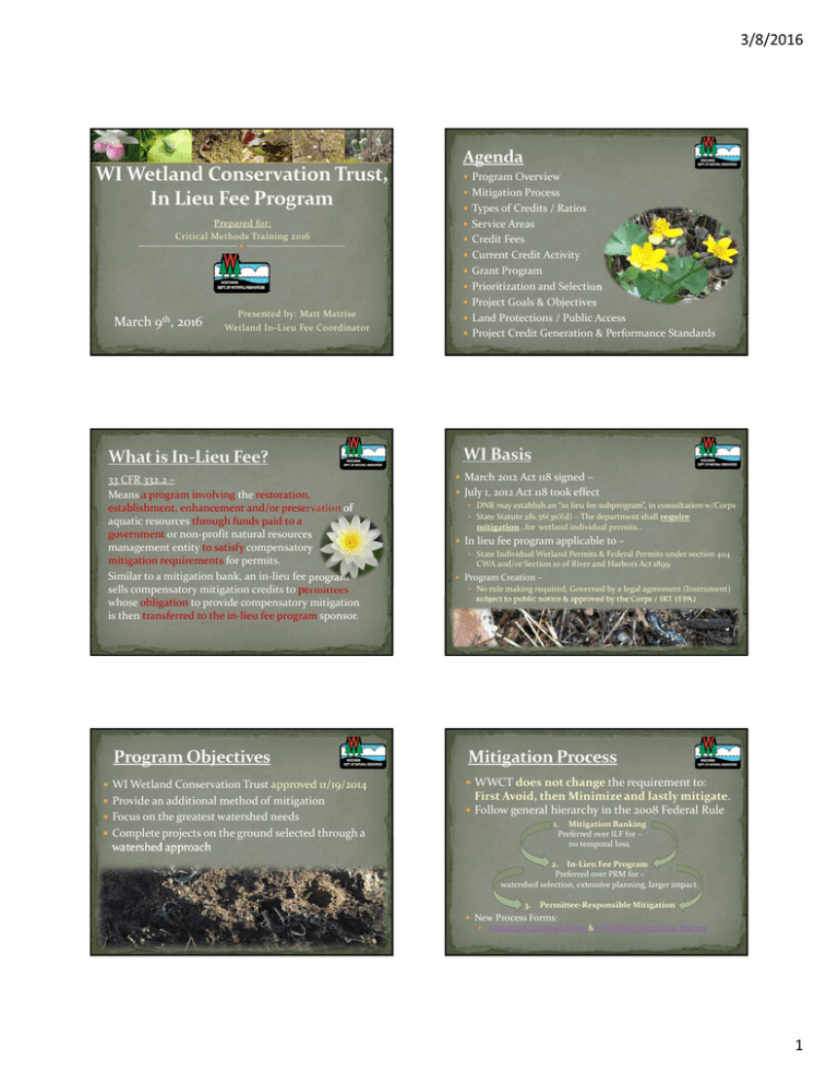
3/8/2016 Program Overview Mitigation Process Types of Credits / Ratios Prepared for: Critical Methods Training 2016 Service Areas Credit Fees Current Credit Activity Grant Program Prioritization and Selection Project Goals & Objectives March 9th, 2016 Presented by: Matt Matrise Wetland In‐Lieu Fee Coordinator 33 CFR 332.2 – Means a program involving the restoration, establishment, enhancement and/or preservation of aquatic resources through funds paid to a government or non‐profit natural resources management entity to satisfy compensatory mitigation requirements for permits. Similar to a mitigation bank, an in‐lieu fee program sells compensatory mitigation credits to permittees whose obligation to provide compensatory mitigation is then transferred to the in‐lieu fee program sponsor. WI Wetland Conservation Trust approved 11/19/2014 Provide an additional method of mitigation Focus on the greatest watershed needs Land Protections / Public Access Project Credit Generation & Performance Standards March 2012 Act 118 signed – July 1, 2012 Act 118 took effect DNR may establish an “in lieu fee subprogram”, in consultation w/Corps State Statute 281.36(3n)(d) – The department shall require mitigation…for wetland individual permits… In lieu fee program applicable to – State Individual Wetland Permits & Federal Permits under section 404 CWA and/or Section 10 of River and Harbors Act 1899. Program Creation – No rule making required, Governed by a legal agreement (Instrument) subject to public notice & approved by the Corps / IRT (EPA) WWCT does not change the requirement to: First Avoid, then Minimize and lastly mitigate. Follow general hierarchy in the 2008 Federal Rule 1. Mitigation Banking Preferred over ILF for – no temporal loss. Complete projects on the ground selected through a watershed approach 2. In‐Lieu Fee Program Preferred over PRM for – watershed selection, extensive planning, larger impact. 3. Permittee‐Responsible Mitigation New Process Forms: Mitigation Summary Sheet & IP Wetland Mitigation Process 1 3/8/2016 Advanced Credit: available for sale prior to being fulfilled in accordance with an approved mitigation project. Released Credit: generated from a Corps approved project, as performance standards are met, released per a credit release schedule. Wetland IP Mitigation Process Mitigation Coordinator Approval Customer establishment Generate Invoice due in 30 days Typical Compensation Ratio is 1.45 : 1 Submit payment 1 acre impact = 1.45 advanced credits State minimum 1.2 + 0.25 resource temporal loss Paper Check or E‐Pay (E‐Check, Credit Card, ACH‐Credit) Credit Affidavit Mitigation Coordinator’s findings of fact for permit Overall process generally takes between 5‐35 days Statewide program Annual Report completed 12/4/2015 Divided into 12 service areas Previous fiscal 7/1/14 to 6/30/15 Based on modified HUC‐6 Credit Fee raised by $1,000/credit Program Consistency USDA AG Land 2014 Spatial Levels Superior HUC‐4: increase of ~21% HUC‐4: Cannot cross Lake Mich HUC‐4: increase of ~12% Mississippi HUC‐4: increase of ~14% HUC‐6: Track sales HUC‐8: Community goals Superior HUC‐4: $59,000 per Credit 3 Years to Initiate Project Lake Mich HUC‐4: $62,000 per Credit After selling first credit Mississippi HUC‐4: $61,000 per Credit Program Guidance public comment process Service Area UMBR NW Lake Mich SW Lake Mich Fox Upper IL Lower WI UMMP Rock St. Croix Upper WI Chippewa Lake Superior TOTALS Authorized Advanced # Adv Credits Credits Sold/Invoiced 50 15.07 100 33.37 60 6.61 55 33.05 30 16.93 40 6.41 30 0 90 8.95 30 3.64 100 0 50 11.29 75 6.75 710 142.07 Available Advanced Credits 34.93 66.63 53.39 21.95 13.07 33.59 30.00 81.05 26.36 100.00 38.71 68.25 567.93 % of available credits sold 30% 33% 11% 60% 56% 16% 0% 10% 12% 0% 23% 9% Completed in December 2015 / 13 comments from 5 parties Who can apply? Public Agencies, Nonprofit Conservation Orgs, WI Tribes, Entities registered with DFI, WI Landowners Eligible Service Areas: Chippewa Upper Miss. Black Root Fox Upper IL NW Lake Michigan Open for 60 days Technical Review Team 2 3/8/2016 First, meet the core requirements Successful & sustainable net gain &/or preservation of function &/or area. Fulfill tenets of existing Advanced Watershed Plans (AWP) or prioritization strategy, preference for AWP. Cost, feasibility, size, proximity to protected areas, corridor connectivity, human use value, efficient maintenance, NRB Boundaries. Second, capacity to provide wetland functions & achieve goals and objectives Third, located in or adjacent to PRW or Overall Service Area goals & objectives Provide comp mitigation based on credit sales Perform comp mitigation in high priority watersheds (high historic loss, high PRW) Replace historic wetland types sustaining high losses, supported by permitted losses Implement priority actions for SGCN & their associated wetland habitat Address 303d listed waters capable of remediation through wetland projects Provide functional buffers around projects to sustain wetland function Preserve rare & high quality wetlands, critical habitat for T/E species, etc Specific HUC‐8 Watershed goals & objectives Identify the restoration & enhancement of specific wetland cover types Identify the preservation of specific rare wetland types according to the WWAP other priority conservation areas Fourth, high opportunity HUC‐8’s high % historic loss, high quantity PRW All projects must have perpetual land protection Fee Simple Title, Conservation Easements, other Easement Template Available in Instrument Nature Based Outdoor Activities: All WWCT funded projects shall be open to the public Hunting, Fishing, Trapping, X‐County Skiing, Hiking Can restrict for public safety or to project T/E species Conservation Easement Land Use Restrictions… except as consistent with Site Mitigation Plan: No dredging, filling, excavating, mining, drilling, removal of topsoil/sand/gravel/rock/minerals or other materials Hydrology will not be altered in anyway All agriculture uses are prohibited (plowing, tilling, haying, cultivating, planting, etc.). No Stocking animals or grazing allowed. No operation of motorized vehicles or equipment. • Third Party Rights to Inspect and Enforce Covenants granted to Army Corps. Based on 2013 Wetland Mitigation Guidelines Managing and monitoring the property in perpetuity to preserve its habitat and conservation values in accordance with the approved Mitigation Plan. Separate Plan Required that details: Public Use Activities – permitted, restricted, prohibited Management Goals and Objectives Priority Actions for effective use of funds Upfront Funding Allocated to each project Identify Long Term Steward DNR, Land Trust, other entity http://dnr.wi.gov/topic/Wetlands/mitigation/guidelines.html Restoration: Occurs in former historic wetlands Involves re‐establishing hydrology, topography & plant community to increase wetland acreage. Enhancement: Occurs in an existing wetland Increases wetland functions, but does not increase wetland acreage. Preservation: Occurs in high quality, high functioning wetlands. Must be under demonstrable threat of destruction or adverse modifications. Vegetated Buffers to protect sustainability of site Not improved ratio 0.1 : 1, improved with native species 0.25 : 1, Cannot comprise more than 25% of total site credit. No Credit Given for Open Water Communities Mitigation Method Proposed Ratio (acres : credits) Multiplier (acres X multiplier = credits) Restoration Enhancement Preservation Buffer 1 : 1 1.33 : 1 8 : 1 4 : 1 1.000 0.750 0.125 0.250 3 3/8/2016 Interim and Final standards Tied to credit releases, build up to final Functional Standards: WI Wetland Conservation Trust website: http://dnr.wi.gov/topic/Wetlands/mitigation/WWCT.html WI Rapid Assessment Methodology (RAM) Physical Standards: Delineated wetland acreage Hydrology Example: Water table within 12 inches of surface for a minimum of 28 consecutive days, or two periods of 14 consecutive days during growing season. Vegetative Examples: % absolute cover, species richness of natives, % invasives, % woody stems per acre, % species from specified families, floristic quality index, native mean coefficient of conservation value . WWCT Helpful Resources: Full Signed Instrument Service Area Map Credit Availability Credit Fee Schedule Annual Report WWCT Grant http://dnr.wi.gov/Aid/Grants.html Located under Conservation/Wildlife Tab Matt Matrise Wetland In‐Lieu Fee Coordinator (262) 574‐2124 Matthew.Matrise@WI.gov http://dnr.wi.gov/topic/wetlands/mitigation/ 4
