ESTIMATION OF THE ACCURACY OF THE SRTM TERRAIN MODEL ON... OF POLAND
advertisement
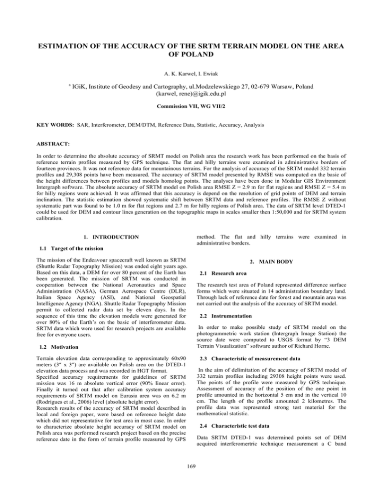
ESTIMATION OF THE ACCURACY OF THE SRTM TERRAIN MODEL ON THE AREA OF POLAND A. K. Karwel, I. Ewiak a IGiK, Institute of Geodesy and Cartography, ul.Modzelewskiego 27, 02-679 Warsaw, Poland (karwel, rene)@igik.edu.pl Commission VII, WG VII/2 KEY WORDS: SAR, Interferometer, DEM/DTM, Reference Data, Statistic, Accuracy, Analysis ABSTRACT: In order to determine the absolute accuracy of SRMT model on Polish area the research work has been performed on the basis of reference terrain profiles measured by GPS technique. The flat and hilly terrains were examined in administrative borders of fourteen provinces. It was not reference data for mountainous terrains. For the analysis of accuracy of the SRTM model 332 terrain profiles and 29,308 points have been measured. The accuracy of SRTM model presented by RMSE was computed on the basic of the height differences between profiles and models homolog points. The analyses have been done in Modular GIS Environment Intergraph software. The absolute accuracy of SRTM model on Polish area RMSE Z = 2.9 m for flat regions and RMSE Z = 5.4 m for hilly regions were achieved. It was affirmed that this accuracy is depend on the resolution of grid points of DEM and terrain inclination. The statistic estimation showed systematic shift between SRTM data and reference profiles. The RMSE Z without systematic part was found to be 1.0 m for flat regions and 2.7 m for hilly regions of Polish area. The data of SRTM level DTED-1 could be used for DEM and contour lines generation on the topographic maps in scales smaller then 1:50,000 and for SRTM system calibration. method. The flat and hilly terrains were examined in administrative borders. 1. INTRODUCTION 1.1 Target of the mission The mission of the Endeavour spacecraft well known as SRTM (Shuttle Radar Topography Mission) was ended eight years ago. Based on this data, a DEM for over 80 percent of the Earth has been generated. The mission of SRTM was conducted in cooperation between the National Aeronautics and Space Administration (NASA), German Aerospace Centre (DLR), Italian Space Agency (ASI), and National Geospatial Intelligence Agency (NGA). Shuttle Radar Topography Mission permit to collected radar data set by eleven days. In the sequence of this time the elevation models were generated for over 80% of the Earth’s on the basic of interferometer data. SRTM data which were used for research projects are available free for everyone users. 1.2 Motivation Terrain elevation data corresponding to approximately 60x90 meters (3″ x 3″) are available on Polish area on the DTED-1 elevation data process and was recorded in HGT format. Specified accuracy requirements for guidelines of SRTM mission was 16 m absolute vertical error (90% linear error). Finally it turned out that after calibration system accuracy requirements of SRTM model on Eurasia area was on 6.2 m (Rodrigues et al., 2006) level (absolute height error). Research results of the accuracy of SRTM model described in local and foreign paper, were based on reference height date which did not representative for test area in most case. In order to characterize absolute height accuracy of SRTM model on Polish area was performed research project based on the precise reference date in the form of terrain profile measured by GPS 2. MAIN BODY 2.1 Research area The research test area of Poland represented difference surface forms which were situated in 14 administration boundary land. Through lack of reference date for forest and mountain area was not carried out the analysis of the accuracy of SRTM model. 2.2 Instrumentation In order to make possible study of SRTM model on the photogrammetric work station (Intergraph Image Station) the source date were computed to USGS format by “3 DEM Terrain Visualization” software author of Richard Horne. 2.3 Characteristic of measurement data In the aim of delimitation of the accuracy of SRTM model of 332 terrain profiles including 29308 height points were used. The points of the profile were measured by GPS technique. Assessment of accuracy of the position of the one point in profile amounted in the horizontal 5 cm and in the vertical 10 cm. The length of the profile amounted 2 kilometres. The profile data was represented strong test material for the mathematical statistic. 2.4 Characteristic test data Data SRTM DTED-1 was determined points set of DEM acquired interferomertric technique measurement a C band 169 The International Archives of the Photogrammetry, Remote Sensing and Spatial Information Sciences. Vol. XXXVII. Part B7. Beijing 2008 profiles, from which every one was served to the delimitation of the mean error of the model SRTM. Therefore profiles to each region determined one statistical test. The profile data was represented strong test material for the mathematical statistic. The mean error of the SRTM model for each region was computed on the basis of acquaintances value of these errors. Knowing the value of the mean error of the SRTM model for each region was determined his average value on the area of Poland. system in segment size 1º na 1º. On the area of Poland collected 96 segments from witch every described was a matrix 1201x1201. 2.5 Assessment of accuracy Assessment of the accuracy of SRTM model was presented by root mean square errors, standard deviation and absolute difference between the model Zm values and the check point of profile Zp value. RMSE was computed on the basic of difference height between points of profile and appropriate model points. Definite regions were assigned the group of local Region Mazowieckie Łódzkie Wielkopolskie Podlaskie Warmińsko-mazurskie Kujawsko-pomorskie Zachodniopomorskie Lubuskie Pomorskie Śląskie Małopolskie Świętokrzyskie Lubelskie Podkarpackie RMSE [m] 4.3 4.2 3.7 2.9 3.5 4.1 3.7 3.3 4.0 3.6 3.4 4.7 3.9 3.8 Standard deviation [m] 0.9 1.2 1.0 1.1 1.5 1.2 1.4 1.3 1.5 1.3 1.7 1.3 1.2 1.3 Difference between the model values and check point values [m] 4.2 4.0 3.6 2.7 3.3 4.0 3.6 3.1 3.7 3.3 3.1 4.5 3.7 3.5 Number of profiles 45 19 19 28 25 22 18 3 22 7 3 16 26 11 Number points of profiles 4345 1685 1790 2753 2594 1959 1585 288 1862 586 211 1267 2226 900 Table 1. Estimation of the SRTM accuracy on the flat terrain Number Difference Standard Number of points of between the model deviation profiles profiles values and check point values [m] [m] Wielkopolskie 4.8 2.4 4.1 1 79 Podlaskie 3.6 1.3 3.3 6 585 Warmińsko-mazurskie 3.7 2.6 3.1 17 1678 Kujawsko-pomorskie 4.5 2.1 4.0 3 270 Zachodniopomorskie 3.6 2.2 3.2 2 137 Pomorskie 4.1 1.9 3.7 5 391 Śląskie 3.9 3.3 3.0 1 74 Małopolskie 5.4 2.9 5.0 3 242 Świętokrzyskie 4.6 2.8 4.0 2 165 Lubelskie 4.0 1.1 3.8 10 909 Podkarpackie 5.3 3.5 4.5 8 727 Table 2. Estimation of the SRTM accuracy on the hilly terrain profiles. Probably a main source of the occurrence of the 2.6 Results component of the bias of the model SRTM was insufficient It was affirmed that absolute accuracy of SRTM height calibration of the interferometry measuring-system with model on Polish area amounted 2.9 m for flat area and 5.4 m relation to of scanned ground. The average bias mounted for for hilly area (Table 1 and 2). It was affirmed too, that flat area 3.5 m and for hilly area 3.7 m. After bias elimination accuracy the absolute accuracy of SRTM model on Polish area of interferometric measure of height grid points is demoting mounted to 1.0 m for flat area and 2.7 m for hilly area. during process of interpolation out of grid, while quantity of degradation is function of relief denivelation and grid points density. Statistic assessment of accuracy of SRTM model showed that interferometric measure includes ingredient systematic error (bias) between SRTM data and reference Region RMSE [m] 170 The International Archives of the Photogrammetry, Remote Sensing and Spatial Information Sciences. Vol. XXXVII. Part B7. Beijing 2008 RMSE of the model SRTM dependence on slope area [m] Regions to 2º 0.8 0.9 0.7 1.1 0.8 0.7 0.9 1.4 1.2 1.3 1.1 1.2 1.6 1.1 Mazowieckie Łódzkie Wielkopolskie Podlaskie Warmińsko-mazurskie Kujawsko-pomorskie Zachodniopomorskie Lubuskie Pomorskie Śląskie Małopolskie Świętokrzyskie Lubelskie Podkarpackie from 2º to 6º (•) (•) 2.4 1.7 2.3 1.8 2.5 (•) 2.5 3.7 3.4 3.5 2.4 3.4 4380 4229 4078 3927 3776 3625 3474 3323 3172 3021 2870 2719 2568 2417 2266 2115 1964 1813 1662 1511 1360 1209 907 1058 756 605 454 303 -2 -4 1 6 4 2 0 152 Table 3. The values of RMSE after bias elimination -6 -8 -10 -12 Serial points of the profiles Figure 1. Height differences between DEM and terrain profile points in meters REFERENCES 3. CONCLUSION References from Journals: Rodrigues E., Morris C. S., Belz J. E., 2006. A Global Assessment of the SRTM Performance. Photogrammetric Engineering & Remote Sensing, s.261 - 267. Remote Sensing, XX ISPRS Congress, XXXV, B1, Comm. I, pp. 474 - 478. On the base of investigate research was affirmed that SRTM model include systematic error. Average of bias amounted for flat area 3.5 m and for hilly area 3.7 m. The quality of SRTM model increased after elimination bias. The accuracy results showed that SRTM DTED-1 data supply by measure of characteristic relief form establish the perfect source material to generate contours lines on the topographical maps in 1:50,000 scales and less. It can be also used to generating of orthoimages on the basis of high resolution satellite data (SPOT 5, Ikonos and QuickBird) which should be collected with small off-nadir viewing angle of the sensor. Obtained result can be used as reference data for calibration of the interferometer and his measuringsystem of the SRTM mission on the area of Poland. Jacobsen K., 2006. SRTM HEIGHT MODELS. GEOconnexion International Magazine, August, s.20-21. References from Other Literature: Ewiak I., Kaczyński R., Istanbul 2004. Accuracy of DTM generated from SPOT 4 and SPOT 5- HRS data. Int. Arch. of Photogrammetry and Remote Sensing. XX ISPRS Congress, XXXV, B1, Comm. I, pp. 474 - 478. 171 The International Archives of the Photogrammetry, Remote Sensing and Spatial Information Sciences. Vol. XXXVII. Part B7. Beijing 2008 Paszotta Z., Szumiło M., 2005. Application of statistical test of hypothesis to check DTM’s accuracy. Seminar about „automated Checking of DTMs”, Aalborg, Denmark. 172
