7 3D Geoinfo Conference th
advertisement
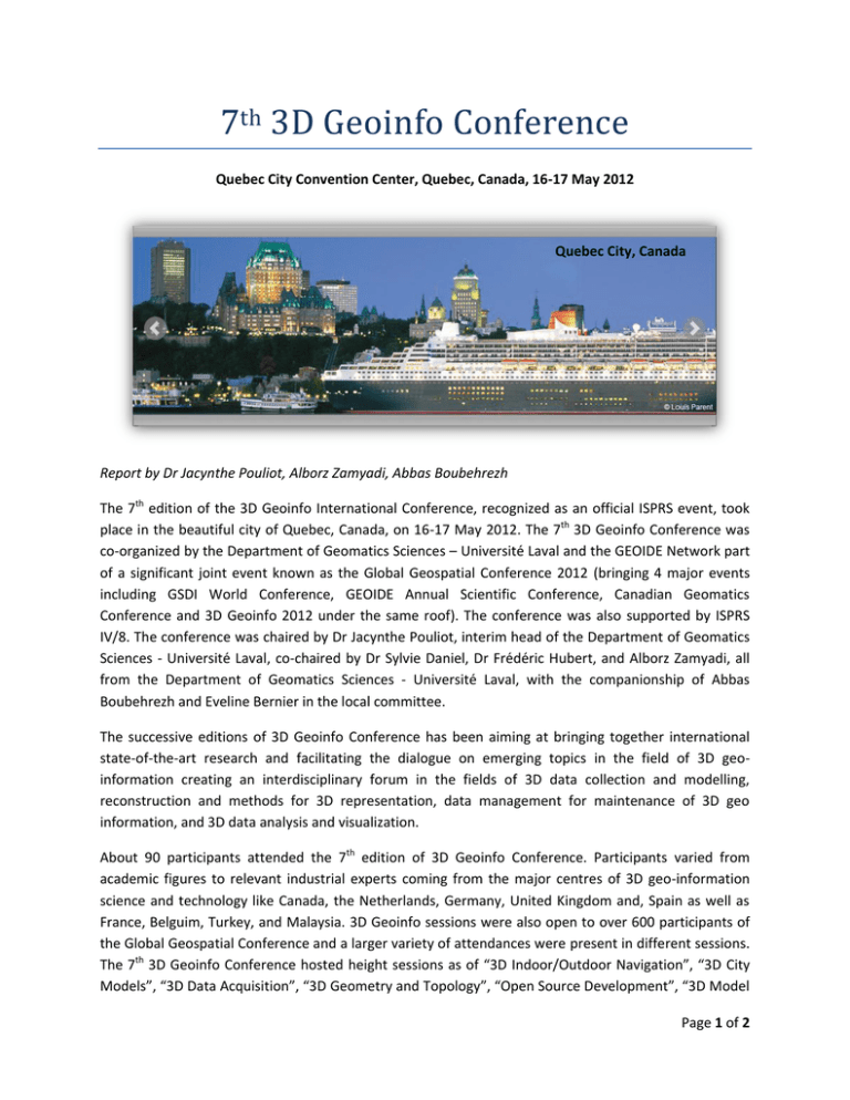
7th 3D Geoinfo Conference Quebec City Convention Center, Quebec, Canada, 16-17 May 2012 Quebec City, Canada Report by Dr Jacynthe Pouliot, Alborz Zamyadi, Abbas Boubehrezh The 7th edition of the 3D Geoinfo International Conference, recognized as an official ISPRS event, took place in the beautiful city of Quebec, Canada, on 16-17 May 2012. The 7th 3D Geoinfo Conference was co-organized by the Department of Geomatics Sciences – Université Laval and the GEOIDE Network part of a significant joint event known as the Global Geospatial Conference 2012 (bringing 4 major events including GSDI World Conference, GEOIDE Annual Scientific Conference, Canadian Geomatics Conference and 3D Geoinfo 2012 under the same roof). The conference was also supported by ISPRS IV/8. The conference was chaired by Dr Jacynthe Pouliot, interim head of the Department of Geomatics Sciences - Université Laval, co-chaired by Dr Sylvie Daniel, Dr Frédéric Hubert, and Alborz Zamyadi, all from the Department of Geomatics Sciences - Université Laval, with the companionship of Abbas Boubehrezh and Eveline Bernier in the local committee. The successive editions of 3D Geoinfo Conference has been aiming at bringing together international state-of-the-art research and facilitating the dialogue on emerging topics in the field of 3D geoinformation creating an interdisciplinary forum in the fields of 3D data collection and modelling, reconstruction and methods for 3D representation, data management for maintenance of 3D geo information, and 3D data analysis and visualization. About 90 participants attended the 7th edition of 3D Geoinfo Conference. Participants varied from academic figures to relevant industrial experts coming from the major centres of 3D geo-information science and technology like Canada, the Netherlands, Germany, United Kingdom and, Spain as well as France, Belguim, Turkey, and Malaysia. 3D Geoinfo sessions were also open to over 600 participants of the Global Geospatial Conference and a larger variety of attendances were present in different sessions. The 7th 3D Geoinfo Conference hosted height sessions as of “3D Indoor/Outdoor Navigation”, “3D City Models”, “3D Data Acquisition”, “3D Geometry and Topology”, “Open Source Development”, “3D Model Page 1 of 2 Construction + GIS Data Analysis”, “Data Infrastructure + Interoperability”, and “Collaborative + Crowdsourcing” covering the 24 accepted papers from the 39 original submissions. The conference also hosted three invited keynotes speakers from different standpoints in 3D geoinformation science and industry. Ioannis Stamos, professor of computer science at Hunter College and Graduate Center of the City University of New York (CUNY), presents a talk on innovative 3D LIDAR mapping. Phillipe Cantin, senior product engineer at Bentley Systems, offers us a discussion on building 3D environments for video gaming. Richard Mongeau, head of the team of cartography and special land surveys at the Geomatics division of the City of Montreal, presents his several experiences on 3D geoinformation acquisition, management, and applications in the City of Montreal. The role of Open Geospatial Consortium (OGC) CityGML standard for 3D geo-information was noted in several fields including Indoor navigation, 3D City modeling, 3D geometry and topology, and data infrastructure and interoperability. However, the mainstream had been around extending CityGML capabilities by means of the provided capabilities of the standard for applied case studies in various domains from national spatial data infrastructures to augmented reality and gaming. Indeed, it would be possible to say that the pursuit of CityGML over years has been shifting from introduction and examination to actual applications and extension to new frontlines. OGC Standards related to web services supporting 3D data/globe were also discussed as mainstream development. Considering the impact of specific industries on research and development in 3D geo-information, the presented works showed that mobile, augmented reality and virtual environment applications represent important initiatives to some topics on collaborative environments and crowdsourcing, open source development, 3D model construction and GIS data analysis. Accordingly, innovations were presented on globalization of 3D oriented mobile applications across open transfer and visualization platforms and interoperable 3D data storage layers. Speaking of globalization, the development of 3D spatial data infrastructure were also identified as a next step to advance and promote the use of 3D data. Specifically on innovations in 3D geometry and topology, the domains of 3D data structure and platforms were broad varying among geospatial database models, textual mark-up formats (i.e. KML), and semantic information models (i.e. CityGML). Accordingly, the given presentations studied the question of 3D geometry and topology considering the fitness-for-use for the underlying intentions (e.g. geomorphological analysis, marine visualisation, routing simulation). About 3D data acquisition, several works were presented on cloud points processing and the automatic reconstruction of 3D geometric urban features (outdoor and indoor contexts). The compression aspect of massive spatial data storing and querying also pose problems and some solutions were proposed (e.g. data cube, spatial indexing, merging strategies). Overall, it can be said that the 3D Geoinfo 2012 has been a very interesting and intense conference with a broad range of high-level presentations. The accepted submissions to the 7th 3D GeoInfo Conference are available in two separate publications: the accepted short papers are published in the ISPRS Archives and the accepted full papers will be published in the Springer book entitled "Progress and New Trends in 3D Geoinformation Sciences (Lecture Notes in Geoinformation and Cartography series by Springer)”. Page 2 of 2
