HRS-SAP Proposals N° Name
advertisement
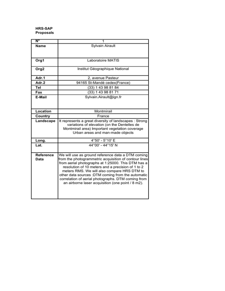
HRS-SAP Proposals N° Name 1 Sylvain Airault Org1 Laboratoire MATIS Org2 Institut Géographique National Adr.1 Adr.2 Tel Fax E-Mail 2, avenue Pasteur 94165 St-Mandé cedex(France) (33) 1 43 98 81 84 (33) 1 43 98 81 71 Sylvain.Airault@ign.fr Montmirail Location France Country Landscape It represents a great diversity of landscapes : Strong variations of elevation (on the Dentelles de Montmirail area) Important vegetation coverage Urban areas and man-made objects Long. Lat. Reference Data 4°50' - 5°10' E 44°00' - 44°15' N We will use as ground reference data a DTM coming from the photogrammetric acquisition of contour lines from aerial photographs at 1:25000. This DTM has a resolution of 10 meters and a precision of 1 to 2 meters RMS. We will also compare HRS DTM to other data sources :DTM coming from the automatic correlation of aerial photographs. DTM coming from an airborne laser acquisition (one point / 8 m2). HRS-SAP Proposals N° Name 2 Rolph Becker Org1 MAPS (UAE) Org2 Adr.1 Adr.2 Tel Fax E-Mail Corniche Plaza 1, P.O. Box 5232, Sharjah, U.A.E. + 971 6 5725411 + 971 6 5724057 rbecker@mapsuae.com Location Country Landscape Merowe Sudan ? Long. Lat. 31°49'E 18°30'N Reference Data The DTM has been produced photogrammetrically from aerial photography scale 1:21,000. Airborne GPS controlled Aerial Triangulation has been carried out incl. x-strips.The DTM spacing is 20 with an vertical accuracy in the order of 1 m.s.e. HRS-SAP Proposals N° Name 3 Dr. Yves CORNET, Assistant Professor, Dr. Jean-Paul DONNAY, Professor, Org1 Geomatics Unit, Department of Geography Org2 University of Liège Adr.1 Adr.2 Tel Fax E-Mail Location Country Landscape Long. Lat. Reference Data & Bât. B5, Allée du 6 Août, 17, 4000 Liège (Belgium), +32 4 3665371 +32 4 3665693 ycornet@ulg.ac.be Liege Belgium Test site in temperate climatic area with moderate relief. - Large variety of land uses - from dense urban or industrial area to rural area with cultures and pastures or forest area 5.5706°E 50.6119°N Two DEM are available in the valley. These files will be available and can probably be used in the framework of the STEREO Project. HRS-SAP Proposals N° Name 4 Prof. Clive Fraser Dr. Paul Dare Org1 Department of Geomatics Org2 University of Melbourne Adr.1 Adr.2 Tel Fax E-Mail Location Country Landscape Long. Lat. Reference Data Victoria 3010 Australia 61,383,440,356 61,393,472,916 c.fraser@unimelb.edu.au / pmdare@unimelb.edu.au Melbourne Australie The Melbourne metropolitan area is a mixed urban area (high density urban, low density urban, parklands, coastline etc) 144.89° - 145.00° E 37.78° - 37.86° S An accurate 25m DEM (1 m acc.) of the Melbourne metropolitan region + 40 ground control points, measured to an accuracy of less than 10cm HRS-SAP Proposals N° Name 5 Professor Ian Dowman Org1 Department of Geomatic Engineering Org2 University College London Adr.1 Adr.2 Tel Fax E-Mail Location Country Landscape Long. Lat. Reference Data Gower Street London WC1E 6BT UK +44 20 7679 7226 +44 20 7380 0453 idowman@ge.ucl.ac.uk Aix-en-Provence France Urban, countryside 5°24' - 5°45' E 43°23' - 43°34' N DEM: IGN 10m spacing, 1 m acc. Area: 30.6 x 21.7 km HRS-SAP Proposals N° Name 6 Etienne BERTHIER Org1 OMP Org2 GDR STRAINSAR Adr.1 Adr.2 Tel Fax E-Mail Location Country Landscape Long. Lat. Reference Data 14 ave. Ed. Belin 31400 Toulouse, France 33 5 6133 2901 33 5 6133 2900 Etienne.Berthier@cnes.fr Mont Blanc France Mountains, glaciers 6°40' - 7°20' E 45°45' - 46°10' N DEM derived from aerial photos (1998) , 30 m posting, 1m acc. HRS-SAP Proposals N° Name 7 KIANIFAR Farhad Org1 Photogrammetry Dept. Org2 National Cartographic Center of Iran (NCC) Adr.1 Adr.2 Tel Fax E-Mail Location Country Landscape Long. Lat. Reference Data Meraj Ave, Azadi Sq., Tehran, Iran PO Box 13185 - 1684 98 21 6030460 98 21 6001971-2 kianifar@ncc.neda.net.ir Rasht Iran ? 49°30' - 50°30' E 37°00' - 37°30' N Absolute error of our DEM is not more than 7.52 meter. - RMSE of our DEM is 1.62 meter Ground Control Points (GCPs) are all extracted from our newly produced 1 : 25,000 scale topographic maps (by photogrammetric methods). So, dense and well distributed GCPs would be available for the test area. HRS-SAP Proposals N° Name 8 Dr.-Ing. Wolfgang Kornus Org1 Org2 Adr.1 Adr.2 Tel Fax E-Mail Location Country Landscape Long. Lat. Reference Data Institut Cartogràfic de Catalunya (ICC) Parc de Montjuïc E – 08038 Barcelona Spain +34.93.5671500 +34.93.5671567 wkornus@icc.es Catalonia Spain Urban, countryside 0°00'-3°30' E 40°30'-43°00 N On 2/3 of the area of Catalonia and whose accuracy is approximately 1m (1sigma) for both the orthoimages and the digital terrain model HRS-SAP Proposals N° Name 9 REINARTZ Peter Org1 Remote Sensing Technology Institute - Image Science German Aerospace Center (DLR) Org2 Adr.1 Adr.2 Tel Fax E-Mail Location Country Landscape Long. Lat. Reference Data Oberpfaffenhofen D - 82234 Wessling - Germany + 49 - 8153 - 282757 + 49 - 8153 - 281444 Peter.Reinartz@dlr.de Bavaria Germany Hilly, post-glacial landscape, agriculture, lakes, alpine upland. Height range between 400 to 2000 meters. 12°03' - 12°45' E 47°42' - 48°30' N For several parts of the investigation area, the highresolution DTM DGM 5 based on airborne laser mapping with an elevation accuracy of 0.5 m is available and area-wide trigonometric points (TP) with an accuracy of a few centimeters. HRS-SAP Proposals N° Name 10 RUDOWSKI Veronique Org1 IGN Espace Org2 Institut Géographique National Adr.1 Adr.2 Tel Fax E-Mail Location Country Landscape Long. Lat. Reference Data 6 av. de l'Europe F - 31527 Ramonville Cedex France 33- 5 6219 1944 33- 5 6173 0317 veronique.rudowski@ign.fr Manosque France It's a countryside landscape, with fields, small villages and medium height relief. The difference in height is between 100 to 1100 meters. 5°15' - 6°15' E 43°30' - 44°00' N The aerial Reference DTM, describes an area of roughly 6 by 66 Km with a 25 m spacing and Z accuracy better than 1m RMS. HRS-SAP Proposals N° Name 11 Dr. Ramesh P. Singh, Professor Org1 Department of Civil Engineering Org2 Indian Instititute of Technology Adr.1 Adr.2 Tel Fax E-Mail Location Country Landscape Long. Lat. Reference Data Kanpur - 208 016 India 91-512-2597295 91-512-2590260 ramesh@iitk.ac.in Gujarat India The region has experienced a major earthquake on January 26, 2001 70,32°E 23,40°N The Survey of India did detailed leveling of the area. The GPS measurements are still going. SRTM scene is also available of this region. We have IRS data from this area. We can plan to carry out GPS measurements if it is required.
