Site Selection Process How GIS is Used in Site Selection
advertisement
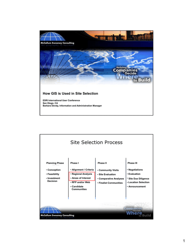
How GIS is Used in Site Selection ESRI International User Conference San Diego, CA Barbara Dendy, Information and Administration Manager Site Selection Process Pl Planning i Phase Ph Ph Phase I Ph Phase II Ph Phase III • Conception • Alignment / Criteria • Community Visits • Negotiations • Feasibility • Regional Analysis • Site Evaluation • Evaluation • Investment Decision • Areas of Interest • Comparative Analyses • Site Due Diligence • RFP and/or Web • Finalist Communities • Location Selection • Candidate Communities • Announcement 1 Site Selection Process Regional Analysis Using GIS – Focus on attraction and aversion factors • Attraction – – – – Desirable labor force figures Educational attainment targets Proximity to interstates, airports, universities Etc. • Aversion – Presence of union activity – Federal class one areas (national parks, national wilderness areas, national monuments) – Non-attainment areas for criteria pollutants – Environmental (hurricanes, tornados, earthquakes) – Etc. GIS Screening 2 Why GIS GIS is a quantitative tool that is useful in producing objective and defendable results Companies are very deadline driven – Time allotted for siting decisions has been compressed resulting in more use of GIS • Has influenced the process of site selection – Communities are being evaluated without anyone knowing • Assists with determining areas of interest – Prior to any consideration of site or building Representative GIS Data Sources Data sources often used in screening: – – – – – – – – – – – – – – – – Bureau of Labor Statistics Environmental Protection Agency Federal Aviation Administration National Center for Education Statistics National Climatic Data Center National Labor Relations Board National Oceanic & Atmospheric Administration National Right-to-Work Defense Foundation National Transportation Atlas Database U.S. Army Corp of Engineers U.S. Census Bureau U S Coast Guard U.S. U.S. Department of the Interior U.S. Department of Labor U.S. Department of Transportation U.S. Geological Survey 3 Case Scenario - Auto Diversity, Inc. Auto Diversity, Inc. has just developed a new widget that can be used in all makes of cars and light trucks. Location Requirements or “Musts” – Must fall within a designated search region of states – First plant must be within 100 miles of an existing automotive or light-truck facility Aversions and Attractions – See “Want” Want Screening Criteria spreadsheet 4 Attraction and Aversion Screening Criteria Screen Criteria Points Attraction Criteria 1. Average Manufacturing Wage < $14 $14 to $18 > $18 2 1 0 2. Manufacturing Labor Force > 3,000 1 000 to 3,000 1,000 3 000 < 1,000 2 1 0 3. High School Attainment % 75.1% or more 65.1% to 75% 65% or less 2 1 0 4. Bachelor Attainment % 20.1% or more 10.1% to 20% 10% or less 2 1 0 5. Interstates and Connecting Free Limited Access Within 10 Mile Radius (> 25%) Within 10 Mile Radius (< 25) Greater Than 10 Miles 2 1 0 6. Commercial Airport Proximity (200,000+ Enplanements) Within 45-Mile Radius (> 25%) Within 45-Mile Radius (< 25%) Outside 45-Mile Radius 2 1 0 7. Two-Year Institutes (Associate Degree) Within 25 Mile Radius (> 25%) Within 25 Mile Radius (< 25%) Greater Than 25 Miles 2 1 0 8. Labor Posture Right to Work Non Right to Work 2 0 5 Attraction and Aversion Screening Criteria (cont.) Screen Criteria Points Aversion Criteria 9. Union Locals with 500+ Members (IAM and UAW) Outside 25-Mile Radius Within 25-Mile Radius (< 25%) Within 25-Mile Radius (> 25%) 2 1 0 10 10. Earthquakes (Hazard Level) 0 to 3 3 to 6 7+ 2 1 0 11. Hurricanes 0 to 59 mph winds 60 to 74 mph winds >= 75 mph winds 2 1 0 12. Tornado Property Damage > $2 million $2 million to $5 million < $5 million 2 1 0 13. Federal Class I Areas (100-Kilometer Radius) Outside 100-Kilometer Radius Within 100-Kilometer Radius (< 25%) Within 100-Kilometer Radius (> 25%) 2 1 0 14. Air Quality – 6 Criteria Attainment Partial Attainment Non-Attainment 2 1 0 Attraction Criteria Screening 6 7 8 9 10 Aversion Criteria Screening 11 12 13 Screening Criteria Results 14 Closing Comments The GIS screening process assists with identifying areas warranting further review (Areas of Interest) GIS is a tool used in the process and not a decision-making instrument 15 MSC Contact Information Barbara Dendy Information and Administration Manager McCallum Sweeney Consulting 550 South Main Street, Suite 550 Greenville, SC 29601 864-553-7036 864-672-1610 (fax) bdendy@mccallumsweeney.com www.mccallumsweeney.com 16
