Linking Ground Penetrating Radar Data to Unsaturated Flow Simulations,
advertisement
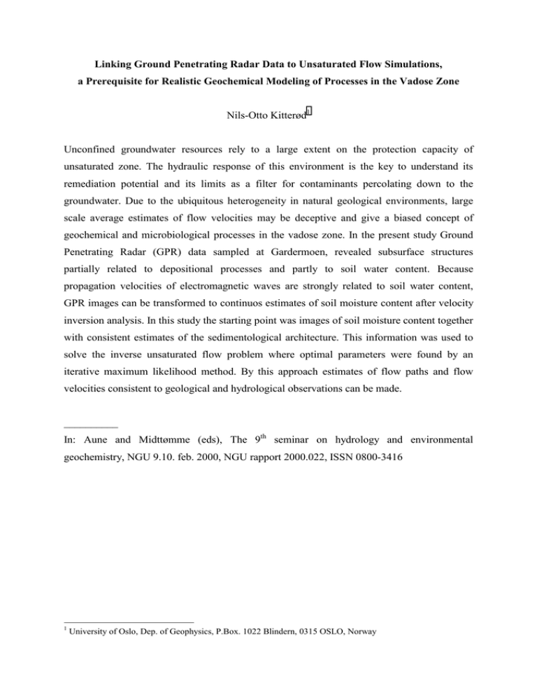
Linking Ground Penetrating Radar Data to Unsaturated Flow Simulations, a Prerequisite for Realistic Geochemical Modeling of Processes in the Vadose Zone Nils-Otto Kitterød1 Unconfined groundwater resources rely to a large extent on the protection capacity of unsaturated zone. The hydraulic response of this environment is the key to understand its remediation potential and its limits as a filter for contaminants percolating down to the groundwater. Due to the ubiquitous heterogeneity in natural geological environments, large scale average estimates of flow velocities may be deceptive and give a biased concept of geochemical and microbiological processes in the vadose zone. In the present study Ground Penetrating Radar (GPR) data sampled at Gardermoen, revealed subsurface structures partially related to depositional processes and partly to soil water content. Because propagation velocities of electromagnetic waves are strongly related to soil water content, GPR images can be transformed to continuos estimates of soil moisture content after velocity inversion analysis. In this study the starting point was images of soil moisture content together with consistent estimates of the sedimentological architecture. This information was used to solve the inverse unsaturated flow problem where optimal parameters were found by an iterative maximum likelihood method. By this approach estimates of flow paths and flow velocities consistent to geological and hydrological observations can be made. __________ In: Aune and Midttømme (eds), The 9th seminar on hydrology and environmental geochemistry, NGU 9.10. feb. 2000, NGU rapport 2000.022, ISSN 0800-3416 1 University of Oslo, Dep. of Geophysics, P.Box. 1022 Blindern, 0315 OSLO, Norway
