³ South Carolina Resource Threat Map 5 of 7
advertisement
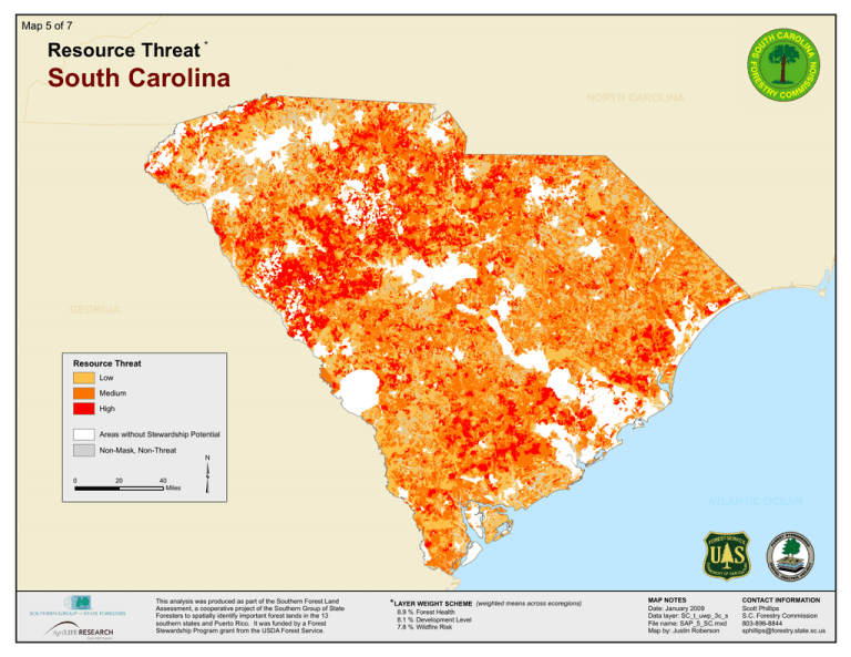
Map 5 of 7 Resource Threat * South Carolina NORTH CAROLINA GEORGIA Resource Threat AZ Low Medium High Areas without Stewardship Potential Non-Mask, Non-Threat 0 20 40 Miles ³ This analysis was produced as part of the Southern Forest Land Assessment, a cooperative project of the Southern Group of State Foresters to spatially identify important forest lands in the 13 southern states and Puerto Rico. It was funded by a Forest Stewardship Program grant from the USDA Forest Service. ATLANTIC OCEAN *LAYER WEIGHT SCHEME 8.9 % Forest Health 8.1 % Development Level 7.8 % Wildfire Risk (weighted means across ecoregions) MAP NOTES Date: January 2009 Data layer: SC_t_uwp_3c_s File name: SAP_5_SC.mxd Map by: Justin Roberson CONTACT INFORMATION Scott Phillips S.C. Forestry Commission 803-896-8844 sphillips@forestry.state.sc.us
