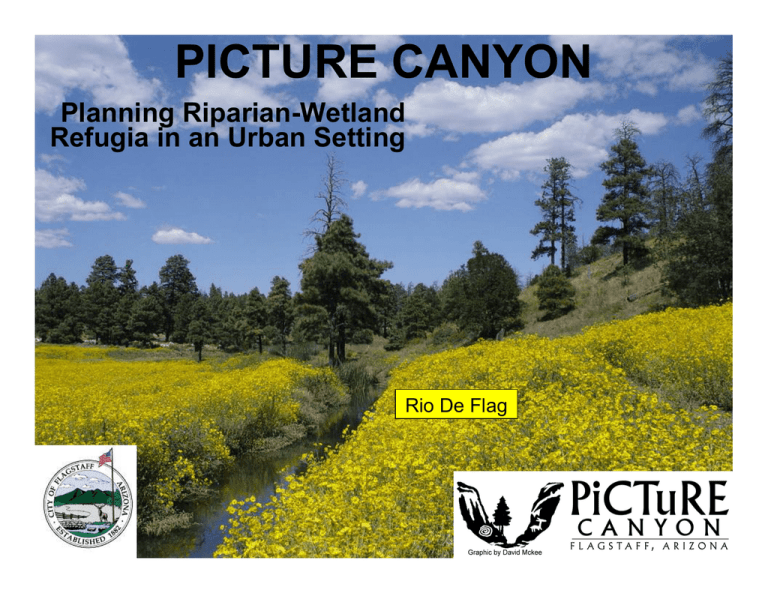
PICTURE CANYON Planning Riparian-Wetland Refugia in an Urban Setting Rio De Flag
advertisement

PICTURE CANYON Planning Riparian-Wetland Refugia in an Urban Setting Rio De Flag Existing Conditions…. Ephemeral stream; Limited riparian plants, habitats ….. & Opportunities Water (effluent) available Restore historic riparian habitats Broad community support Objectives • Restore proper stream processes • Restore channel meander and floodplain function • Create additional wetland and backwater areas • Control noxious weeds • Restore native riparian vegetation and habitat • Provide recreational, educational and aesthetic benefits Reach 1 and Reach 2 CANYON REACH Project Area: 60 acres Length of Stream: 1 mile Acres of Riparian Habitat: 15 acres Channelized Rio de Flag and Meanders Abandoned Problem No access to floodplain No spreading of flood flows • Minimial riparian vegetation • Lack of habitat complexity • Noxious weeds dominate Problem Severe noxious weed invasion threatens the ecological integrity of the area REACH 1 Solution • Construct pond at upstream end of reach • Create effluent stream channel and riparian wetland • Plant native wetland and riparian plants REACH 2 Solution • Reconnect channel to its floodplain by: ¬Restoring the effective cross-section ¬Restoring the original meander alignment • Fill dredged channel leaving downstream backwater areas • Plant native wetland and riparian plants Natural Resource Conservation Service Coconino County Arizona Water Protection Fund NAU Centennial Forest Arizona State Land Department Museum of Northern Arizona Coconino National Forest Rupestrian CyberServices AZ Game and Fish NAU Ecological Restoration Institute City of Flagstaff Picture Canyon Partnership Private Landowners Wildcat Hill Wastewater Facility (COF) Northern Arizona Trail Runners Association Natural Channel Design Open Space Commission NAU US Fish and Wildlife Service Audubon Society Friends of Flagstaff’s Future Flagstaff Biking Organization Coconino Natural Resource Conservation District Picture Canyon Strategic Cooperative Planning • • • • • • Channel-Floodplain Features Noxious Weed Management Plan Re-vegetation Plan Fencing Plan Monitoring Plan Public Outreach Plan Earthwork Activities channel filling, bank sloping, meander restoration. In addition: garbage removal/spoils, trail construction. Structural Components Structural components include: bank protection (toe rock), grade stabilization (rock weir), water control structures (inlet boxes). In addition: Pedestrian bridge relocation Riparian fencing, additional toe protection (brush revetment, erosion logs), temporary irrigation system, off-channel watering). Integrated Weed Management Planning and implementation Treatments Revegetation Ongoing management .….. to achieve desirable plant communities. Mapping weed areas • Yellow starthistle (Centaurea solstitialis) • Bull thistle (Cirsium vulgare) • Scotch thistle (Onopordum acanthium) • Cheatgrass or Downy brome (Bromus tectorum) • Dalmatian toadflax (Linaria genistifolia ssp. dalmatica) • Diffuse knapweed (Centauria diffusa) • other undesirable species. Revegetation Plan • • • • • Grass Plantings Wetland Plantings Shrub Plantings Tree Plantings Temporary Irrigation System • Reseed and mulch all disturbed and weed control areas!! Future vegetation willows, cottonwoods, native riparian & upland plants Benefits Urban stream projects: • Functioning riparian systems • Increased habitat • Increased recreational opportunities • Increased educational opportunities • Increased public awareness of riparian habitat importance Refugia With the threat of drought and increasing temperatures… Urban projects augmented by effluent or other water sources… Can provide valuable refugia for native riparian plant communities. Planning & Coordination • Projects require as much political as technical expertise. • Can be slow and frustrating • Are essential to success. City of Flagstaff Technical consultants: Tom Moody, P.E. Stephanie Yard, P.E Natural Channel Design, Inc. Flagstaff, AZ Arizona State Land Department


