The Navigator’s Challenge position fixing and decision making in an all-electronic-era
advertisement
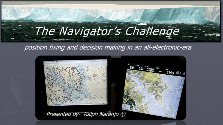
The Navigator’s Challenge position fixing and decision making in an all-electronic-era Presented by- Ralph Naranjo © A cognitive exercise Electronic screen watching Maintaining the thought process Way finding ► Sense of direction ► Limbic system ► Hippocampus ► Perceiving location B Signposts in the sea ► Swells ► Waves Trade winds ► Currents ► Back wash ► Fringing reefs ► Sea birds Equatorial current A Innate sense of where to go Pre Electronic Navigation ► On going navigation engagement ► Last fix validity ► Extension of DR ► Chart check End of an era Contemporary Cruiser Sat Nav GPS (SA) Remove SA GPS (Gen III) WASS GLONASS GALALEO CHINA/INDIA A new solution to an old puzzle Measuring certainty ► Visual fix • ► Electronic fix • ► Estimated position • ► Dead Reckoning (DR) • Flinders Islet Incident CYC Photo Outcome… ► Grounding ► Vessel a total loss ► Two crew members dead The contributory factors identified are: a. General navigation i. Lookout and sea room ii. Reliance on chart plotter and GPS iii. GPS inaccuracies b. Organization of the boat c. Fatigue and overload. Networked Digital Charting System Dilution of Precision Horizontal dilution of precision Paper and digital charts Chart Accuracy Zone of Confidence ECDIS ELECTRONIC CHARTING AND DIGITAL INFORMATION SYSTEM What lies ahead The shorthanded mandate ► Streamline navigation process ► Add accuracy to position fixing ► Concerned about accuracy Scrutinize the ZOC / Source Diagram Touch screen, roller ball and tablets ► Wifi sync to a Network ► Added portability ► Remote data access Smart phone interface From the experts ► Navionics President Giuseppe Carnevalle, “less than 10% of the seas are charted to the same resolution and accuracy as the Moon and Mars. ► NOAA dubs 500,000 SNM as navigationally significant but only about 46,000 SNM have been surveyed with modern full-bottom coverage Crowd Sourcing ► Your depth sounder ► Your chart plotter ► Your GPS Radar overlay Equipment designed for the environment I agree button ► “electronic charts are inadequate as a primary means of navigation” Nobeltec software The navigator’s amalgam ► Intuition ► Sense of direction ► Vector awareness ► Relative motion The Goal ► Knowing where you are ► Defining where you want to go ► Monitoring progress Taking bearings Compare visual bearing with cursor bearing line to same object Simplicity and Tradition A well connected crew DR and Piloting Graphics and detail The nighttime routine ► More frequent plots ► Multiple types of fixes ► Visual acuity enhancers Plotting becomes a reflex Overlay capability AIS networked Back to the basics Old School tools of the trade are not yet obsolete RJ Naranjo © 2016
