Foundations of Urban Form
advertisement
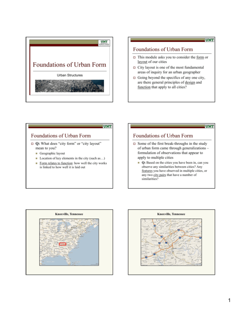
Foundations of Urban Form Foundations of Urban Form Urban Structures Foundations of Urban Form Q: What does “city form” or “city layout” mean to you? Geographic layout Location of key elements in the city (such as…) Form relates to function: how well the city works is linked to how well it is laid out Knoxville, Tennessee This module asks you to consider the form or layout of our cities City y layout y is one of the most fundamental areas of inquiry for an urban geographer Going beyond the specifics of any one city, are there general principles of design and function that apply to all cities? Foundations of Urban Form Some of the first break-throughs in the study of urban form came through generalizations – formulation of observations that appear to apply to multiple cities Q: Based on the cities you have been in, can you observe any similarities between cities? Any features you have observed in multiple cities, or any two city pairs that have a number of similarities? Knoxville, Tennessee 1 Knoxville, Tennessee Knoxville, Tennessee The University of Tennessee The UT Geography Building Historic Downtown Historic Downtown 2 Tennessee River West Town Mall Typical American Suburbs Typical American Suburbs An important skill for urban geographers is an ability to recognize and understand the structures and features that characterize modern North American cities Foundations of Urban Form There are three foundational “city structure models” in urban geography 1. Concentric Zone Model 2. Sector Model 3. Multiple Nuclei Model We won’t repeat all the details, but we will try to build on what you may already know of these models from other classes Foundations of Urban Form Concentric Zone Model (Sociologist Ernest Burgess, 1925) 3 Foundations of Urban Form Sector Model ( (Economist Homer Hoyt, 1939) Foundations of Urban Form Q: Can you think of specific features of any cities you have visited that correspond with the characteristics of any of the three models? Concentric circles based on different social groups and eras of urban development Foundations of Urban Form Multiple Nuclei Model (Geographers Chauncy Harris & Edward Ullman, 1945) Foundations of Urban Form These models are based in part on observations of Chicago’s urban form in particular “Spokes” of development focused on different transport routes 4 Foundations of Urban Form To truly appreciate the three models, it is important to recognize two factors: Multiple nuclei based on the main downtown and developing suburban centers Complementarity of the Models The best way to view the three city models is by recognizing their complementarity Each model focuses on a different aspect p of reality, with the result being the best view of the city accounts for all three 1. the way in which the three models work together through their complementary views of the city 2. the historical context for the emergence of the distinctive patterns embodied in the three models Complementarity of the Models Sector Structure C Concentric t i Structure St t Multiple Nuclei Structure Physical Structure Dallas: Elements of All City-Structure Models Let’s compare a few cities using income as an indicator… Dark Red = High Income Dark Blue = Low Income 5 Dark Red = High Income Dark Red = High Income Dark Blue = Low Income Dark Blue = Low Income Dark Red = High Income Dark Red = High Income Dark Blue = Low Income Dark Blue = Low Income Historical Context One of the strengths of your reading is in how it provides historical context for the city structure models we accept today The models appear timeless in the simplicity of their structures, but these structures arise through processes rooted in the society and technology of our modern period Historical Context Basic question we need to answer: how have urban forms evolved to give us the modern patterns we observe today? 6 Historical Context The Mercantile City (before 1840) High density, small by modern North American standards Constraining factor: how far can you walk? Map of Boston, showing the “pedestrian city” (innermost area) vs. the suburban/ peripheral i h l expansion of the city in the years following Pedestrian City Boston Boston Boston Boston 7 Contrast the previous pictures of Boston with much of Dallas-Fort Worth Historical Context The Mercantile City (before 1840) Q: what impact would “walking only transportation” have on a city’s form? How would ld our cities i i needd to change h if this hi was ever a necessity for North America once again? Historical Context The Mercantile City (before 1840) The Early Industrial City (1840-1870) Note the characteristics of the mercantile city highlighted in your reading Mixed land uses (much variation, close together) Concentric zone pattern, with the elite in the center and the lower classes further out (note, this is the reverse of the modern American pattern) Much variation on the above, and of course any generalization is not 100% applicable everywhere Historical Context Historical Context New transportation technologies provided the possibility for city-dwellers to escape from a “ lki di “walking-distance life” lif ” Previously, only a small percentage of elite families could afford to live or travel regularly outside of the city First horse transit and then rail transit meant an expanded transportation field became a possibility for ordinary people The Early Industrial City (1840-1870) Industrialization, and the introduction of new technologies brought to society by industry, b brought h ddramatic i change h to the h city i Of particular relevance to city form is advancement in transportation technology and usage Historical Context The Early Industrial City (1840-1870) As your reading outlines, rail transit had several specific impacts on city form Reorganization of land use in the city center – the convergence of rail lines downtown meant that land needed to be allocated for train stations and rail yards Spin-off land use change – once the rail network was in operation, land next to stations increased in value and businesses shuffled locations to take advantage of new opportunities 8 Historical Context The Early Industrial City (1840-1870) As your reading outlines, rail transit had several specific impacts on city form Growth of other new construction technologies – expertise associated with rail development led to other new construction techniques and materials, making the first skyscrapers possible (huge change again for downtown) Historical Context The Early Industrial City (1840-1870) As your reading outlines, rail transit had several specific impacts on city form Promotion of commuter travel on an unprecedented scale: rail made it possible to escape the growing and congested city-center environment that rail itself was partially responsible for creating Concentration of railroad terminals downtown Historical Context The Early Industrial City (1840-1870) As your reading outlines, rail transit had several specific impacts on city form Railroads began to define the city – in some cases encouraging interaction (along rail lines) and in other cases hindering movement (across rail yards: the “other side of the tracks” phenomenon) Growth of industry outside the city core – development of linear industrial belts (stockyards, warehouses) along rail lines Chicago is a classic example of the impact of rail line development on urban form Rail lines radiating out from the center like spokes on a wheel 9 New residential and industrial developments occurring along the various spokes p of the rail network all around the city Historical Context The Industrial City (1875-1920) Chicago Maps: Time Series 1870-1930 Historical Context This period of city development was defined by enormous population growth, economic specialization, i li i andd differentiation diff i i off land l d uses Continued development of mass transportation was central to city development of this period The Industrial City (1875-1920) Historical Context The Industrial City (1875-1920) Another key component of this change, related and emerging along with the other changes of the period, i d was the h appearance off zoning i in i the h city i Change: from neighborhoods that integrated work, home, and recreation, to cities with dedicated areas for each of these functions Q: what would be the advantages and disadvantages of such a change? These factors combined to reshape the American city into a form unlike any of its predecessors: the exodus d to the h suburbs b b off the h wealthy l h andd the h middle class, and the concentration in the center of the poor and immigrants Q: Why would this be an important change? In which dimensions (social, economic, political, other) would we see this change reflected in the city? Historical Context Urban Form of the Industrial City The logical outcome of the combination of improving transportation and zoning is the creation i off specialized i li d land l d uses within i hi the h city i Improved transportation allowed people to live in one place and work in another Zoning provided for the creation of specialized districts in strategic locations of the city 10 Historical Context Urban Form of the Industrial City Historical Context The city center or central business district (CBD) remained the focus of activity as it was in the prei d i l city, industrial i but b its i role l evolved l d With industrialization the CBD came to include a variety of elements that continuously competed for land: a high-density core (retail, office, entertainment, civic administration) and a lowdensity frame (warehousing, schools, hospitals, hotels) Historical Context Urban Form of the Industrial City Historical Context Urban Form of the Industrial City Historical Context Urban Form of the Industrial City Q: what are the pluses and minuses of this landuse model? What is captured well by the model? What are some valid criticisms of such a conceptualization of the city? Continuous competition between land uses made the city (particularly the CBD) a dynamic place The competitive dynamics characterizing land use are captured well in the bid-rent land use model (see box 5.1 in your reading): “von Thünen applied to cities” Competitive bidding process model explains the zoning that emerges based on economics when i intra-city i travell is i possible ibl but b certain i places l are most accessible New York Case Study We come back now to New York as an example of urban development in the early part of the 20th century The video case study we will view now examines a very important part of the urban history of America Making the transition to a modern, car-oriented city 11

