Coordinated Water Resources Database & GIS Project for
advertisement
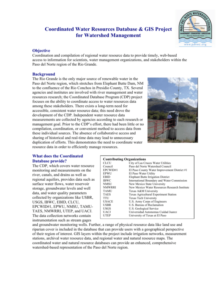
Coordinated Water Resources Database & GIS Project for Watershed Management Objective Coordination and compilation of regional water resource data to provide timely, web-based access to information for scientists, water management organizations, and stakeholders within the Paso del Norte region of the Rio Grande. Background The Rio Grande is the only major source of renewable water in the Paso del Norte region, which stretches from Elephant Butte Dam, NM to the confluence of the Rio Conchos in Presidio County, TX. Several agencies and institutes are involved with river management and water resources research; the Coordinated Database Program (CDP) project focuses on the ability to coordinate access to water resources data among these stakeholders. There exists a long-term need for accessible, consistent water resource data; this need drove the development of the CDP. Independent water resource data measurements are collected by agencies according to each research or management goal. Prior to the CDP’s effort, there had been little or no compilation, coordination, or convenient method to access data from these individual sources. The absence of collaborative access and sharing of historical and real-time data may lead to unnecessary duplication of efforts. This demonstrates the need to coordinate water resource data in order to efficiently manage resources. What does the Coordinated Database provide? Contributing Organizations CLCU City of Las Cruces Water Utilities The CDP, which covers water resource Council Paso del Norte Watershed Council EPCWID#1 El Paso County Water Improvement District #1 monitoring and measurements on the EPWU El Paso Water Utility river, canals, and drains as well as EBID Elephant Butte Irrigation District regional aquifers, provides data such as IBWC International Boundary and Water Commission NMSU New Mexico State University surface water flows, water reservoir NMWRRI New Mexico Water Resources Research Institute storage, groundwater levels and well TAMU Texas A&M University data, and water quality parameters TAES Texas Agricultural Experiment Station collected by organizations like USBR, TTU Texas Tech University USACE U.S. Army Corps of Engineers USGS, IBWC, EBID, CLCU, USBR U.S. Bureau of Reclamation EPCWID#1, EPWU, NMSU, TAMUUSGS U.S. Geological Service TAES, NMWRRI, UTEP, and UACJ. UACJ Universidad Autonomas Cuidad Juarez UTEP University of Texas at El Paso The data collection networks contain instrumentation such as stream gages and groundwater monitoring wells. Further, a range of physical resource data like land use and riparian cover is included in the database that can provide users with a geographical perspective of their region of interest. GIS layers within the project include irrigation networks, measurement stations, archival water resource data, and regional water and natural resource maps. The coordinated water and natural resource databases can provide an enhanced, comprehensive watershed-based representation of the Paso del Norte region. Technical Committee Dr. Christopher Brown, NMSU, Co-Chair Dr. Zhuping Sheng, TAES-TAMU, Chair Gilbert Anaya, IBWC Bert Cortez, USBR Mike Fahy, EPWU Dr. Alfredo Granados, UACJ Jose Granillo, EPWU Dr. Conrad Keyes, Jr., Consultant to the USACE Dr. Philip J. King, NMSU Dr. Ari Michelsen, TAES-TAMU R. Srinivasan, TAES-TAMU Sue Tillery, NMSU Sue Watts, TTU • • • • • Who is involved? The Coordinated Water Resources Database & GIS is being developed by the Paso del Norte Watershed Council through a collaboration of university scientists, and the cooperation of federal and state agencies, irrigation districts and water management and user organizations. The Spatial Applications Research Center within the Department of Geography at New Mexico State University serves as the Internet host for this project through their Internet map server. Recent Accomplishments of the CDP include: • Development of a water resource database with GIS interface components • Compilation and inclusion of new data sources Filling in of data gaps with installation and calibration of new monitoring stations Enhancement of sharing and access to real-time data Providing web-based help and query functions Implementation of feedback from web-based user survey responses Expansion of a library of technical reports Ongoing work of the CDP includes: • • • • • • • Creating digital records of historical data Expanding technical components to database and GIS components Linking to USACE’s Upper Rio Grande Water Operations Model (URGWOM – see http://www.spa.usace.army.mil/urgwom/default.asp for more information) Developing a user tutorial Continuing to fill existing and emerging data gaps Collaboration with Elephant Butte Irrigation District on linking new gauge data Providing stormwater runoff, land use, and best management practices data What can the Coordinated Database project do for me? • • • Streamline the process of accessing and analyzing real-time water resource data within the Paso del Norte region Increase the knowledge base for water resource managers and researchers Enhance regional watershed management efforts Online Access • • An operational web site for the Coordinated Water Resources Database with GIS interface may be accessed at http://www.pdnwc.org Related reports on data sources, measurement parameters and monitoring locations have been prepared and are available through the WRRI webpage at http://wrri.nmsu.edu/
