grid
advertisement

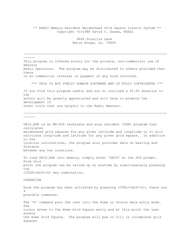
** N4AZI Memory Resident Maidenhead Grid Square Locator System ** Copyright <C>1988 David C. Eanes, N4AZI 4866 Drusilla Lane Baton Rouge, La. 70809 -----------------------------------------------------------------------------This program is offered solely for the private, non-commercial use of Amateur Radio Operators. The program may be distributed to others provided that there is no commercial interest or payment of any kind involved. *** THIS IS NOT PUBLIC DOMAIN SOFTWARE AND IS FULLY COPYRIGHTED *** If you find the author will development other tools this program useful and are so inclined a $5.00 donation to be greatly appreciated and will help to promote the of that are helpful to the Radio Amateur. -----------------------------------------------------------------------------GRID.EXE is an MS-DOS terminate and stay resident (TSR) program that calculates maidenhead grid squares for any given latitude and longitude or it will calculate longitude and latitude for any given grid square. In addition to the location calculations, the program also provides data on bearing and distance between any two locations. To load GRID.EXE into memory, simply enter 'GRID' at the DOS prompt. From this point the program can be called up at anytime by simultaneously pressing the <CTLR><ALT><G> key combination. OPERATION Once the program has been activated by pressing <CTRL><ALT><G>, there are 4 possible commands. The 'H' command puts the user into the Home or Source data entry mode. The cursor moves to the Home Grid Square entry and at this point the user enters the Home Grid Square. The program will pad or fill in incomplete grid squares so that entries such as 'EM' or 'EM4' will be accepted. An entry such as 'EM40' is padded to 'EM40LL'. After the grid square has been entered the program then calculates the longitude and latitude for the supplied Grid Square. By simply keying <RETURN> at the Grid Square entry the cursor is moved to the Longitude entry position and next to Latitude entry position. Once both have been entered the program will calculate the correct Grid Square for that location. * Important note: All longitude and latitude information is entered in decimal degrees (ie -91.2 Long 30.5 Lat | NOT in degrees,minutes, seconds). West longitudes and south latitudes are entered as negative numbers. The 'D' command functions exactly the same as the 'H' command except that the user is entering data for the Destination location. Once there is data entered for both Home and Destination the program will automatically calculate distance and bearing. The 'Q' command simply halts execution of GRID.EXE and returns the user to whatever program he was running previously. The program remains resident in memory and can be re-activated at anytime with the <CTRL><ALT><G> combination. The 'U' command Uninstalls or removes the program from memory. After a 'U' command the program cannot be activated again until it is reloaded. WINDOW POSITIONING Upon initial activitation the Pop Up Window will be positioned near the upper left hand corner of the display. Window position may be adjusted through the use of the Arrow, PgUp, PgDn, Home, and End keys. Subsequent activations will maintain the window position that has been selected by the user.


