Name
advertisement
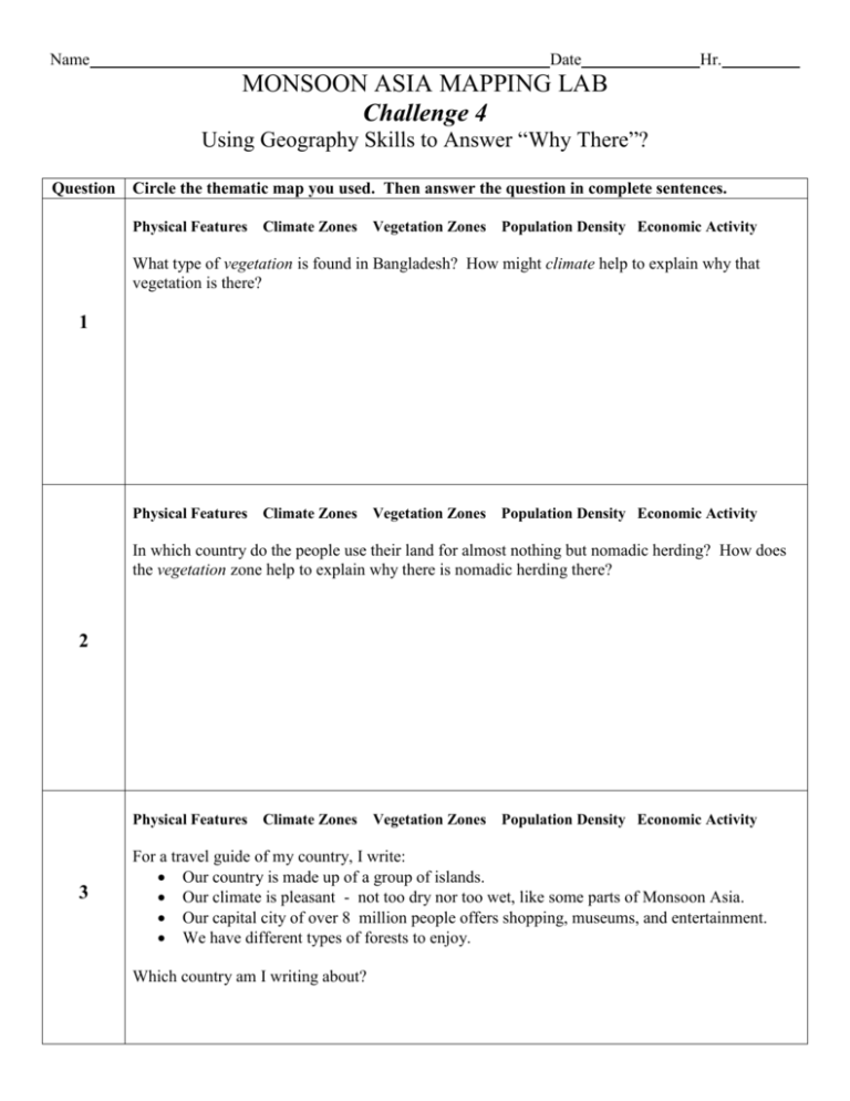
Name Date Hr. MONSOON ASIA MAPPING LAB Challenge 4 Using Geography Skills to Answer “Why There”? Question Circle the thematic map you used. Then answer the question in complete sentences. Physical Features Climate Zones Vegetation Zones Population Density Economic Activity What type of vegetation is found in Bangladesh? How might climate help to explain why that vegetation is there? 1 Physical Features Climate Zones Vegetation Zones Population Density Economic Activity In which country do the people use their land for almost nothing but nomadic herding? How does the vegetation zone help to explain why there is nomadic herding there? 2 Physical Features 3 Climate Zones Vegetation Zones Population Density Economic Activity For a travel guide of my country, I write: Our country is made up of a group of islands. Our climate is pleasant - not too dry nor too wet, like some parts of Monsoon Asia. Our capital city of over 8 million people offers shopping, museums, and entertainment. We have different types of forests to enjoy. Which country am I writing about? Physical Features Climate Zones Vegetation Zones Population Density Economic Activity Country description: 4 My country is one of diversity. The coastal areas of my country have over 250 people per square mile. Like many people here, I am a subsistence farmer. My cousin works for a manufacturing plant in a city. The elevation ranges from sea level to over 10,000 feet. Parts of my country are dry all year round. Other parts are tropical with wet and dry seasons. Where in Monsoon Asia does this person live? Compare the population densities, physical features and climates in the western and eastern halves of China. 100 E 5 Western China Eastern China Overall Population Density : Overall Population Density: 2 Physical Features: 2 Physical Features: 2 Climates: 2 Climates: 4b. Why is the population density higher in the Eastern half of China than the Western half?

