Mississippi River Daily Update 9-6-11
advertisement
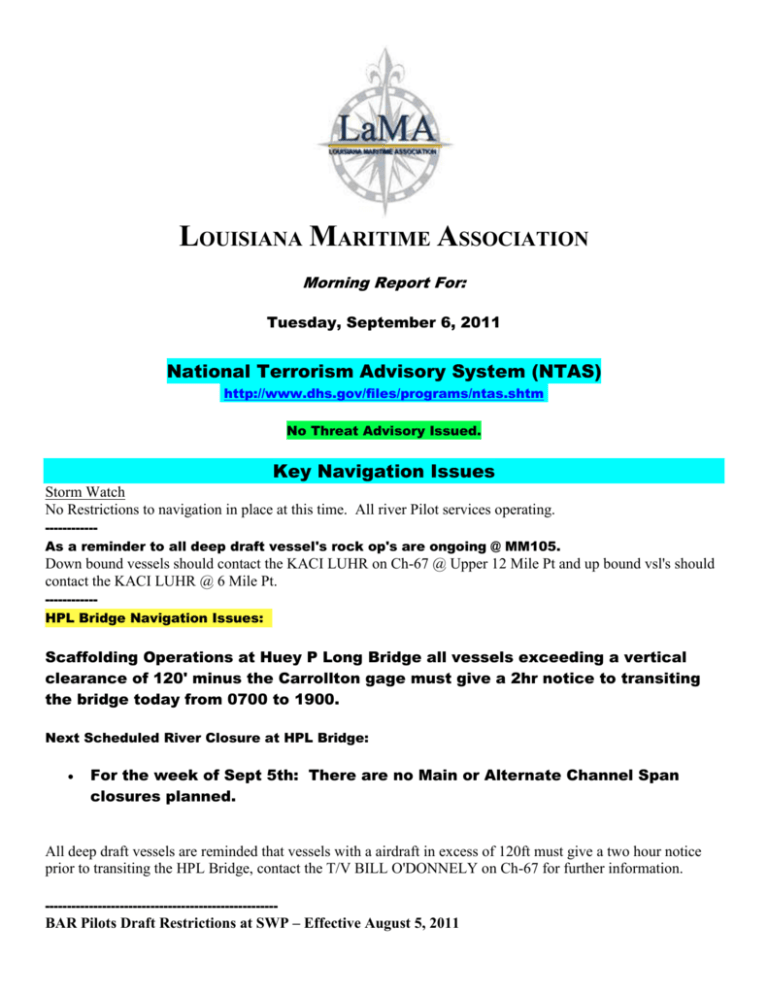
LOUISIANA MARITIME ASSOCIATION Morning Report For: Tuesday, September 6, 2011 National Terrorism Advisory System (NTAS) http://www.dhs.gov/files/programs/ntas.shtm No Threat Advisory Issued. Key Navigation Issues Storm Watch No Restrictions to navigation in place at this time. All river Pilot services operating. -----------As a reminder to all deep draft vessel's rock op's are ongoing @ MM105. Down bound vessels should contact the KACI LUHR on Ch-67 @ Upper 12 Mile Pt and up bound vsl's should contact the KACI LUHR @ 6 Mile Pt. -----------HPL Bridge Navigation Issues: Scaffolding Operations at Huey P Long Bridge all vessels exceeding a vertical clearance of 120' minus the Carrollton gage must give a 2hr notice to transiting the bridge today from 0700 to 1900. Next Scheduled River Closure at HPL Bridge: For the week of Sept 5th: There are no Main or Alternate Channel Span closures planned. All deep draft vessels are reminded that vessels with a airdraft in excess of 120ft must give a two hour notice prior to transiting the HPL Bridge, contact the T/V BILL O'DONNELY on Ch-67 for further information. ----------------------------------------------------- BAR Pilots Draft Restrictions at SWP – Effective August 5, 2011 Maximum recommended freshwater draft for all vessels from Southwest Pass Sea Buoy (Entrance Lighted Whistle Buoy "SW") to Mile 1.5 AHOP is 46 feet. NOBRA Pilots High Water Restrictions – Effective August 8, 2011 1. Vessels transiting up to and including MM 180 AHP will be restricted to 47' or less; and 2. All vessels transiting above MM 180 AHP will be restricted to 45' or less. CRESCENT RIVER PORT PILOTS – Effective Tuesday, June 14, 2011 The Pilots advise a separation scheme between vessels transiting this area to allow enough time to react in the event of an incident. in addition, they may request one-way traffic when conditions warrant. Operational Advisories and Restrictions Now In Place. USCG MSIB Volume XI Issue: 90 Safety Zone Salvage of Sunken Barges All vessel traffic shall: Request permission to enter the SZ area from VTS NOLA on VHF channel 12 or 67 Check in points are: No lower than MM 239 for southbound vessels No higher than MM 228 for northbound vessels Be restricted to one-way traffic between MM 230 – MM 232 Maintain the slowest safe speed Transit as close to the RDB as safely possible When: From 1400 Thursday, September 1, 24 hours a day until salvage ops are completed. Where: LMR – MM 230 to MM 234 extending the full width of the river (With One-Way traffic from MM 230 – 232) Why: Salvage operations of sunken barges in vicinity of MM 231 (Barges sank during high water) -------------------------------------------------------------------------------------------------------------------------------------------------------------------------------------------------------------------------------------------------------------------------------------------- BAR Pilots Operational Area – SWP to Pilot town Normal Operational Draft - 45' Freshwater. Current Restrictions in Place Maximum recommended draft for all vessels in Southwest Pass is 46 feet. --------------------------------------------------------------------------------------------------------------------------------------------------------------------------------------------------------------------------------------------------------------------------------------------- Crescent Pilots Operational Area – Pilot town to Mile 90 AHOP Normal Operational Draft - 47' Freshwater Current Restrictions in Place THE PILOTS ADVISE A SEPARATION SCHEME BETWEEN VESSELS TRANSITING THIS AREA TO ALLOW ENOUGH TIME TO REACT IN THE EVENT OF AN INCIDENT. IN ADDITION, THEY MAY REQUEST ONE-WAY TRAFFIC WHEN CONDITIONS WARRANT. --------------------------------------------------------------------------------------------------------------------------------------------------------------------------------------------------------------------------------------------------------------------------------------------- NOBRA Pilots Operational Area – Mile 90 to Mile 233.5 Normal Operational Draft - 47' Freshwater up to Mile 180 AHOP and 45' Freshwater from Mile 180 to 232.1 AHOP Current Restrictions in Place 1. Vessels transiting up to and including MM 180 AHP will be restricted to 47' or less; and 2. All vessels transiting above MM 180 AHP will be restricted to 45' or less. --------------------------------------------------------------------------------------------------------------------------------------------------------------------------------------------------------------------------------------------------------------------------------------------- LMR Federal Pilots Current Restrictions in Place In reference to the above NOBRA Pilot operating restrictions; Captain Steve Paquette, President of the Federal River Pilots reports the Federal Pilots are making operational decisions on a case by case basis. --------------------------------------------------------------------------------------------------------------------------------------------------------------------------------------------------------------------------------------------------------------------------------------------- Reports of Marine Incidents and Safety Advisories Affecting Navigation on the LMR i. The Coast Guard has released a precautionary notification regarding vessel transits in the vicinity of Fukushima, Japan. The message is as follows: In the event a vessel bound for a U.S. port transits within the 'cautionary area' described as a 50 mile (43 nautical miles/80 kilometers) of the Fukushima Nuclear Power Plant (37°N, 141°01'E) the U.S. Coast Guard recommends the vessel's master submit transit information, including the date and total time within the cautionary area, to the cognizant U.S. Coast Guard Captain of the Port using the comment block in the routine submittal of their 96-hour Advanced Notice of Arrival. ii. CBP Statement Concerning Radiation Monitoring of Travelers, Goods from Japan To address radiological and nuclear risks, CBP employs several types of radiation detection equipment in its operations at both air and sea ports, and uses this equipment, along with specific operational protocols, to resolve any security or safety risks that are identified with inbound travelers and cargo. iII. 24MAR11 Waterway Status - Navigation Advisory Lower Mississippi River Mile Marker 216.5 LDB- Amended Manhattan Construction Company is conducting construction operations in the vicinity of mile marker 216.5 Lower Mississippi River on the LDB. All vessel traffic is advised to proceed at the slowest safe speed when transiting through the area so as to minimize wake. Construction equipment may extend out 35 to 50 yards from the tree line towards the channel on the LDB. All vessel traffic is advised to use caution and maintain a distance of 100 yards from the LDB when transiting the area. Manhattan Construction Company and the towing vessel MISS VIRGINIA will be monitoring and may be contacted through VHF Channel 67 or via telephone at (281) 541-1711 for further information. IV. NAVIGATION SAFETY ADVISORY – Location of Sunk Barges - USCG SECTOR NEW ORLEANS MSIB - Volume XI, Issue 55 On May 20, 2011, three loaded dry cargo barges sank in the Lower Mississippi River between MM 231 and MM 234. The GPS coordinates and related depth of water at the wreckage site are reported as follows: * Near mid-channel MM 231 in approximately 68 feet of water- N 30'28.162" W 091'11.728" * Near mid-channel MM 233.5 in approximately 85 feet of water- N 30'29.277" W 091'11.687" * Near the Left Descending Bank (LDB) MM 234 in approximately 115 feet of waterN 30' 30.255" W 091'11.719" Mariners are advised that these measurements were taken on May 22, 2011, with a reading of 44.51 feet on the Baton Rouge gauge. The barges will not be able to be salvaged until the speed of the current on the river falls to approximately 2.3 miles per hour, a safe level for salvage divers to enter the water. Upcoming Scheduled Events of Interest None to report. Lower Mississippi River Conditions 1. Southwest Pass Tides Tides for Southwest Pass starting with September 6, 2011. Day High /Low Tide Time Height Feet Sunrise Sunset Moon Time % Moon Visible Tu 6 6 High Low 4:38 AM 3:36 PM 1.9 0.2 6:38 AM 7:14 PM Set Rise 1:14 AM 3:29 PM 62 W 7 7 High Low 5:55 AM 4:23 PM 1.9 0.3 6:39 AM 7:13 PM Set Rise 2:14 AM 4:14 PM 72 Th 8 8 High Low 7:08 AM 5:00 PM 1.8 0.4 6:39 AM 7:12 PM Set Rise 3:12 AM 4:54 PM 81 F 9 9 High Low 8:14 AM 5:26 PM 1.7 0.6 6:40 AM 7:10 PM Set Rise 4:09 AM 5:29 PM 88 Sa 10 10 High Low 9:14 AM 5:36 PM 1.5 0.7 6:40 AM 7:09 PM Set Rise 5:05 AM 6:02 PM 94 Su 11 11 11 High Low High 10:12 AM 5:24 PM 11:41 PM 1.4 1.0 1.1 6:41 AM 7:08 PM Set Rise 5:59 AM 6:33 PM 97 M 12 12 12 12 Low High Low High 3:19 11:15 4:41 10:56 AM AM PM PM 1.0 1.3 1.1 1.2 6:41 AM 7:07 PM Set Rise 6:51 AM 7:04 PM 99 Tu 13 13 13 13 Low High Low High 5:02 12:42 3:17 10:50 AM PM PM PM 1.0 1.2 1.1 1.4 6:42 AM 7:06 PM Set Rise 7:44 AM 7:35 PM 99 2. River Stages, Bridge Air Gaps, Lock Status Note: USACE Lock Status update not available at this time. 3. Today’s Offshore Weather Forecast: MIDDLE GULF BETWEEN 85W AND 90 430 AM CDT TUE SEP 06 2011 TODAY N OF 25N NW TO N WINDS 15 TO 20 KT DIMINISHING TO 10 TO 15 KT AND SHIFTING N TO NE S OF 28N LATE. SEAS 8 TO 11 FT SUBSIDING TO 4 TO 7 FT LATE. S OF 25N S TO SW WINDS 15 TO 20 KT DIMINISHING TO 10 TO 15 KT LATE. SEAS 4 TO 7 FT. SCATTERED TSTMS ALONG FRONT. TONIGHT THROUGH WED NIGHT AHEAD OF FRONT SW WINDS 10 TO 15 KT. SEAS 6 TO 7 FT. W OF FRONT N TO NE WINDS 10 KT. SEAS 4 TO 7 FT IN N SWELL. SCATTERED SHOWERS AND TSTMS ALONG FRONT. 4. Today’s LMR PORTS Screen (Includes HPL Air Gap Sensor Reading AND River Velocities). Lower Mississippi River PORTS, NOAA/NOS 2011-09-06 06:06 CDT ----------------------------Water Levels (above MLLW)--------------------------Carrollton-LWRP 3.5 ft, Rising Pilots St. East 1.9 ft, Steady --------------------------------------Winds------------------------------------Spd Dir Gusts Spd Dir Gusts Pilottown 10 kn N 13 Pilots St. East 18 kn N 21 ----------------------------Air and Water Temperature--------------------------Air Water Air Water Carrollton-LWRP 83 °F Pilottown 68 °F 83 °F Pilots St. East 72 °F 82 °F -------------------------------Barometric Pressure-----------------------------Pilottown 1011 mb Rising Pilots St. East 1012 mb Rising -----------------Air Gap/Bridge Clearance (above water surface)----------------Huey P. Long Bridge 145.3 ft, Stdy. Crescent City 165.0 ft, Stdy. ------------------Currents (F)lood, (S)lack, (E)bb, towards °T-----------------Spd Dir Spd Dir Port Allen 2.3 kn (E), 183.0°T First Street Wharf 1.4 kn (E), 63.0°T 5. Information Regarding Hale Boggs (Luling) Bridge Air Gap Luling Bridge Cable Repairs – Reduced Air Draft: The LULING “HALE BOGGS” BRIDGE is undergoing cable repairs thru the summer, 2012. The work on the Luling Bridge will focus on one side at a time leaving the other half of the bridge available for unobstructed navigation at the bridge's stated height of 158.4 less the Reserve Gage. The NOBRA Pilots are requesting a 10' buffer zone for reporting purposes. They are asking that any vessel that has an air draft measurement that falls within 10' of [158.4 less the Reserve Gage] to contact VTS NOLA with the vessel information. This will aid the NOBRA Pilots in the navigation of the bridge. 6. LMR River Stage Predictions Note: The following River Stage Predictions are provided by the ACOE. This information is updated as received. Updated: September 1, 2011 Here is the latest river stage prediction report from the USACE. The LMR at New Orleans is predicted to drop a total of 7 tenths of a foot from 4.4' town to 3.7' over the next ten days 7. LMR River Crossings Surveys Note: The following River Crossings Surveys are provided by the ACOE. This information is updated as received. Updated: Sept 1, 2011 specific crossings. - Note: Column 4 provides the date of survey for the Please see the attached file for the latest controlling depths at the Mississippi River Crossings. Areas highlighted in yellow indicate depths of 50’ or less. Areas highlighted in red indicate depths below 45’. -------------------------------------------------------------------------- Capt Ron Ronald W Branch, CAPT. USCG (Ret.) President Louisiana Maritime Association (LaMA) rwbranch@earthlink.net

