Flood Zones and Rainfall - Waimanalo Youth & Family
advertisement
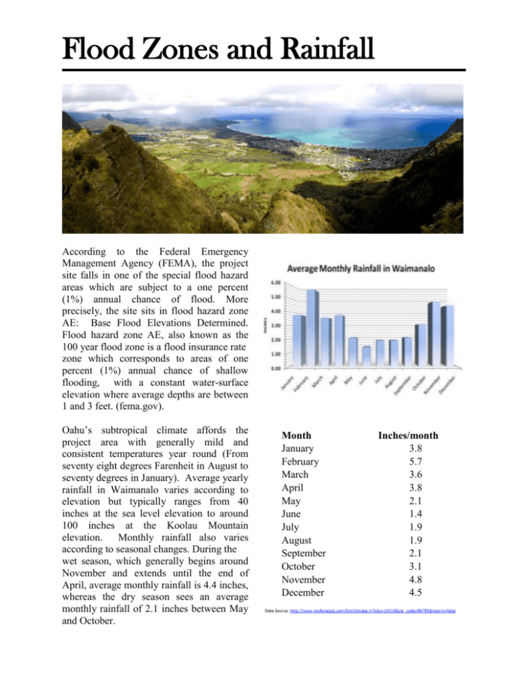
Flood Zones and Rainfall According to the Federal Emergency Management Agency (FEMA), the project site falls in one of the special flood hazard areas which are subject to a one percent (1%) annual chance of flood. More precisely, the site sits in flood hazard zone AE: Base Flood Elevations Determined. Flood hazard zone AE, also known as the 100 year flood zone is a flood insurance rate zone which corresponds to areas of one percent (1%) annual chance of shallow flooding, with a constant water-surface elevation where average depths are between 1 and 3 feet. (fema.gov). Oahu’s subtropical climate affords the project area with generally mild and consistent temperatures year round (From seventy eight degrees Farenheit in August to seventy degrees in January). Average yearly rainfall in Waimanalo varies according to elevation but typically ranges from 40 inches at the sea level elevation to around 100 inches at the Koolau Mountain elevation. Monthly rainfall also varies according to seasonal changes. During the wet season, which generally begins around November and extends until the end of April, average monthly rainfall is 4.4 inches, whereas the dry season sees an average monthly rainfall of 2.1 inches between May and October. Month January February March April May June July August September October November December Inches/month 3.8 5.7 3.6 3.8 2.1 1.4 1.9 1.9 2.1 3.1 4.8 4.5


![My Flood Project [WORD 624KB]](http://s3.studylib.net/store/data/007180649_1-37937117fa0d9f223031a6f75d9a4179-300x300.png)


