APPENDIX F: HYDROCAD STORM POND SIZING NOTES
advertisement
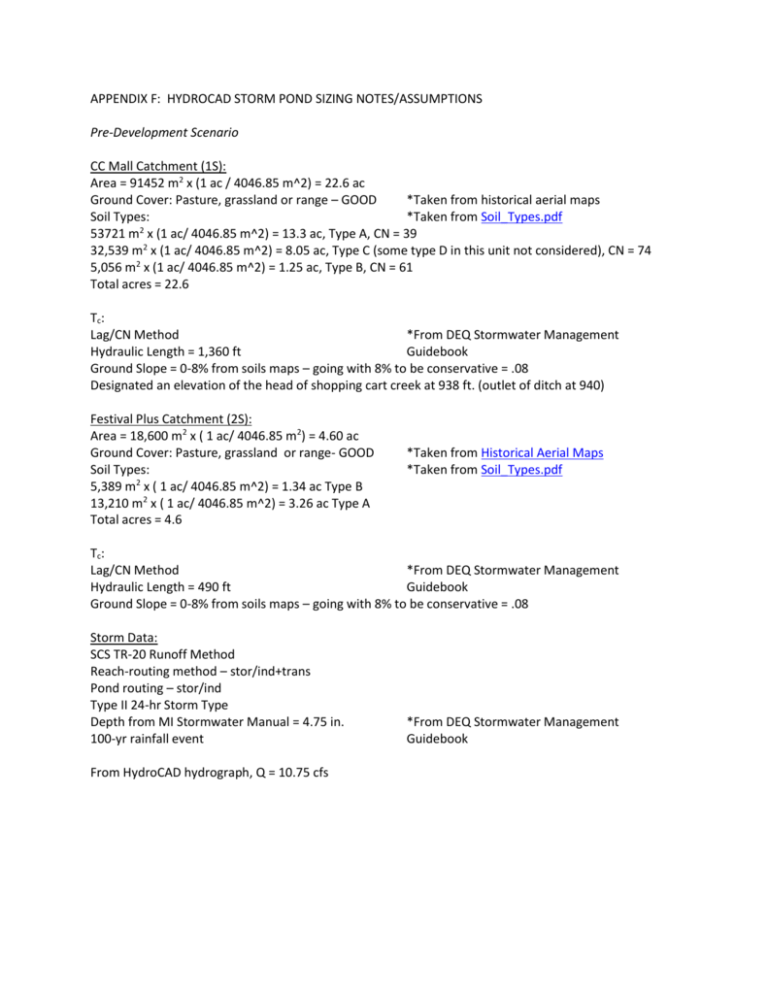
APPENDIX F: HYDROCAD STORM POND SIZING NOTES/ASSUMPTIONS Pre-Development Scenario CC Mall Catchment (1S): Area = 91452 m2 x (1 ac / 4046.85 m^2) = 22.6 ac Ground Cover: Pasture, grassland or range – GOOD *Taken from historical aerial maps Soil Types: *Taken from Soil_Types.pdf 53721 m2 x (1 ac/ 4046.85 m^2) = 13.3 ac, Type A, CN = 39 32,539 m2 x (1 ac/ 4046.85 m^2) = 8.05 ac, Type C (some type D in this unit not considered), CN = 74 5,056 m2 x (1 ac/ 4046.85 m^2) = 1.25 ac, Type B, CN = 61 Total acres = 22.6 Tc : Lag/CN Method *From DEQ Stormwater Management Hydraulic Length = 1,360 ft Guidebook Ground Slope = 0-8% from soils maps – going with 8% to be conservative = .08 Designated an elevation of the head of shopping cart creek at 938 ft. (outlet of ditch at 940) Festival Plus Catchment (2S): Area = 18,600 m2 x ( 1 ac/ 4046.85 m2) = 4.60 ac Ground Cover: Pasture, grassland or range- GOOD Soil Types: 5,389 m2 x ( 1 ac/ 4046.85 m^2) = 1.34 ac Type B 13,210 m2 x ( 1 ac/ 4046.85 m^2) = 3.26 ac Type A Total acres = 4.6 *Taken from Historical Aerial Maps *Taken from Soil_Types.pdf Tc : Lag/CN Method *From DEQ Stormwater Management Hydraulic Length = 490 ft Guidebook Ground Slope = 0-8% from soils maps – going with 8% to be conservative = .08 Storm Data: SCS TR-20 Runoff Method Reach-routing method – stor/ind+trans Pond routing – stor/ind Type II 24-hr Storm Type Depth from MI Stormwater Manual = 4.75 in. 100-yr rainfall event From HydroCAD hydrograph, Q = 10.75 cfs *From DEQ Stormwater Management Guidebook Post-Development Scenario CC Mall Catchment (1S): Area = 22.6 ac paved parking lots, roofs, CN = 98 Tc : Lag/CN Method *From DEQ Stormwater Management Hydraulic Length = 1,360 ft Guidebook Ground Slope = 0-2% – going with 2% to be conservative*From Map Unit Descriptions Designated an elevation of the head of shopping cart creek at 938 ft. (outlet of ditch at 940) Festival Plus Catchment (2S): Area = 4.6 ac urban districts commercial and business, 85% impervious, CN = 89 Tc : Lag/CN Method *From DEQ Stormwater Management Hydraulic Length = 490 ft Guidebook Ground Slope = 0-2% – going with 2% to be conservative*From Map Unit Descriptions Culverts (4R): *Combined both culverts into one node because of 5-node limit 24” x 18” rectangular culvert *From previous measurements Length = 159 ft total *From GIS Manning’s n = 0.017 concrete, unfinished, typical Inlet invert = 959.5 ft (known), assume slope of 0.005 to obtain outlet invert of 958.71 ft Ditches (5R): *Combined both ditches into one node because of 5-node limit Parabolic channel Top width assumed to be 10 ft *Too snowy to take actual measurements Channel depth assumed to be 5 ft *Too snowy to take actual measurements Length = 874 ft Manning’s n = 0.03 earth grassed and winding open channel flow Outlet invert = 940 ft Inlet invert = 958.71 ft Reach 6 (3R): Adjustment elevation = 938 ft Storm Data: SCS TR-20 Runoff Method Reach-routing method – stor/ind+trans Pond routing – stor/ind Type II 24-hr Storm Type Depth from MI Stormwater Manual = 4.75 in. 100-yr rainfall event *From DEQ Stormwater Management Guidebook From HydroCAD hydrograph, Q = 140.2 cfs Post-Development with Detention Pond To find the volume of the detention pond, the pre-development and post-development hydrographs were superimposed on one another and the difference in area inside the curves was found (blue shaded area below). It was assumed that the detention pond collects from the mall and the ditches/culverts connected to Festival Foods Plus. The depth of the detention pond is 10 ft (from GIS, elevation difference from the ditch outlet and Reach 6 inlet = 10.25 ft). It was assumed that the pond dimensions were 200 ft x 250 ft with 2 ft/ft slopes. CC Mall Catchment (1S): Area = 22.6 ac paved parking lots, roofs, CN = 98 Tc : Lag/CN Method *From DEQ Stormwater Management Hydraulic Length = 1,360 ft Guidebook Ground Slope = 0-2% – going with 2% to be conservative*From Map Unit Descriptions Designated an elevation of the head of shopping cart creek at 938 ft. (outlet of ditch at 940) Festival Plus Catchment (2S): Area = 4.6 ac urban districts commercial and business, 85% impervious, CN = 89 Tc : Lag/CN Method Hydraulic Length = 490 ft *From DEQ Stormwater Management Guidebook Ground Slope = 0-2% – going with 2% to be conservative*From Map Unit Descriptions Ditches/Culverts (5R): Combined Ditches/Culverts from Post-Development for 5-node limit. Length = 1033 ft Manning’s n: 0.027999 *Weighted average of n for ditch and culvert Inlet invert = 959.5 ft Outlet invert = 940 ft (slope*281ft) For discharge culvert (from pond to Reach 6): Inlet = 938.25 ft Outlet = 938 ft Length = 25 ft Diameter = 12 in Manning’s n = 0.025, corrugated metal, typical Entrance = CMP, square edge headwall Assume free discharge


