Population density and distribution around the world
advertisement
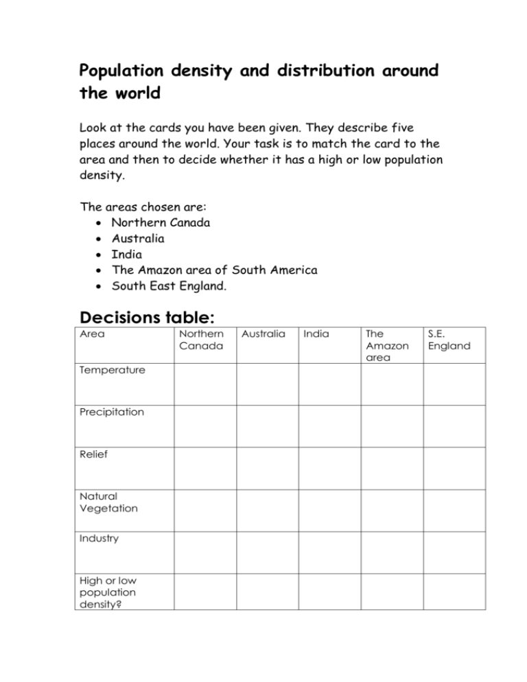
Population density and distribution around the world Look at the cards you have been given. They describe five places around the world. Your task is to match the card to the area and then to decide whether it has a high or low population density. The areas chosen are: Northern Canada Australia India The Amazon area of South America South East England. Decisions table: Area Temperature Precipitation Relief Natural Vegetation Industry High or low population density? Northern Canada Australia India The Amazon area S.E. England 1. Precipitation often falls as snow 427 mm 2. Very little rainfall throughout the year – average rainfall only 537 mm 3. Moderate rainfall throughout the year – 620 mm 4. Very heavy rainfall throughout the year – 2415 mm 5. Heavy rainfall during one season – dry during the rest of the year – 1605 mm 6. Temperatures vary from 5 – 17 °C. Warm winters and summers 7. Very high temperatures throughout the year - 28°C all year. 8. Temperatures vary from -26 to 8°C 9. Temperatures high throughout most of the year 20 – 31 °C 10. Temperatures high all year 20 – 30°C 11. Low lying land with some rolling hills. Mostly 0 – 100m above sea level 12. High mountains in the west, other high land scattered throughout the area. Low land around Hudson Bay 13. Low lying land surrounding large river system 14. Lowland around the coast and along valleys including the River Ganges. High land (500 – 1000m) in the west and in central regions. 15. Two large mountain ranges in the country – including the Great Dividing Range in the southeast. Lowland in the central area. 16. Dense tropical rainforest throughout the region. 17. Some tropical rainforest in the northeast and along the west coast. The rest is a semi arid region. 18. Coniferous forest in the south and tundra (little vegetation other than lichens and mosses) in the north. 19. Wide range of vegetation types in the country from a band of tropical rainforest to large areas of hot desert. 20. Mixed woodland on deep fertile soils. 21. Good and varied links with Europe and the rest of the country 22. Limited internal communication links. Transport is not able to cope with demand. 23. Few communication links – many centred on the main highway into the region the Trans-Amazonia Highway. Other transport in the region is by river 24. Few road links in the interior. Air travel across country common. Most communication links on the south east coast. 25. Very few communication links in the far north. 26. Heavily industrialised – today much high tech and research-based industry – provides a high standard of living for most people 27. Most people depend on extractive industries eg: oil for a living. Good standard of living for people there. 28. Depends on extraction of the many raw materials recently found in the area. Other people rely on farming small plots. Many people survive on very low incomes. 29. Much farming and some increasing industry – many jobs moving into the country from richer countries to take advantage of low wage costs. Low standard of living for most of the population. 30. Mineral rich country extracts and sells large amounts of iron ore and coal. Often associated with sheep farming in the past the country now has a varied economy providing a good standard of living.
