Lesson Notes - the Indo-Gangetic Plains
advertisement
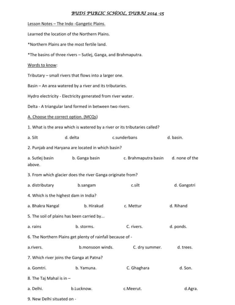
BUDS PUBLIC SCHOOL, DUBAI 2014 -15 Lesson Notes – The Indo -Gangetic Plains. Learned the location of the Northern Plains. *Northern Plains are the most fertile land. *The basins of three rivers – Sutlej, Ganga, and Brahmaputra. Words to know: Tributary – small rivers that flows into a larger one. Basin – An area watered by a river and its tributaries. Hydro electricity - Electricity generated from river water. Delta - A triangular land formed in between two rivers. A. Choose the correct option. (MCQs) 1. What is the area which is watered by a river or its tributaries called? a. Silt d. delta c.sunderbans d. basin. 2. Punjab and Haryana are located in which basin? a. Sutlej basin above. b. Ganga basin c. Brahmaputra basin d. none of the 3. From which glacier does the river Ganga originate from? a. distributary b.sangam c.silt d. Gangotri 4. Which is the highest dam in India? a. Bhakra Nangal b. Hirakud c. Mettur d. Rihand C. rivers. d. ponds. 5. The soil of plains has been carried by... a. rains b. storms. 6. The Northern Plains get plenty of rainfall because of a.rivers. b.monsoon winds. C. dry summer. d. trees. 7. Which river joins the Ganga at Patna? a. Gomtri. b. Yamuna. C. Ghaghara d. Son. 8. The Taj Mahal is in – a. Delhi. b.Lucknow. 9. New Delhi situated on - c.Meerut. d.Agra. a. The Aravalli hills. Ganga. b. The banks of the Yamuna. C. Satpura Hills. d.The banks of the 10. Which rivers divide Ganga into two rivers when it reaches West Bengal? a.Bhagirathi, Mandakini. b. Alakananda,Gandak. C. Hooghly, Padma. d. Kosi&Son. Name the following:1. The largest delta in the world - Sunderbans. 2. The Glacier from which the Ganga originates 3. The place where Ganga and Yamuna meet 4. The basin that receives heavy rainfall - Gangotri. - Sangam. - Bramaputra Basin. C. Match the following: 1. The Yamuna joins the Ganga a. on the banks of River Hugli. 2. Kolkata is situated b. Tsangpo. 3. River Brahmaputra is also called c. in Bihar. 4. Punjab and Haryana have d. “Sangam near Allahabad. 5. Chhat is celebrated e. Chandigarh as their capital. Write short answers: 1. Name two rivers that join the Ganga from the south. Rivers Chambal, Betwa and Son. 2. Name the branch of the Ganga in Bangladesh. Padma is the branch of the Ganga in Bangladesh. 3. Which is the largest delta in the world? Sunderban delta is the largest delta in the world. 4. Which state is surrounded by Bangladesh on three sides? Tripura is surrounded by Bangladesh on three sides. 5. Name four tributaries of the Ganga. Bhagirathi, Alakananda, Kosi and Yamuna. 6. What is a river basin? The areas watered by a river and its tributaries called its basin. 7. Why are the Indo Gangetic Plains known as the food bowl of India? The Indo-Gagetic Plains known as the food bowl of India because the Ganga basin is very fertile. Plains are very well drained and the rivers flow from the mountains to the plains. They carry and deposit huge amounts of alluvium soil along their basins. This makes the soil fertile.It produces more food than any other part of the country. 8. What is a delta? Describe the Ganges – Brahmaputra Delta. Delta is a triangular area of land where a river has split into several channels just before entering the sea. The Ganga flows through the northern areas and reaches West Bengal; it divides into two branches, the Hugli and the Padma. Hugli flows through Kolkata and the Padma flows through Bangladesh, and they join the Brahmaputra River entering the Bay of Bengal. At the mouth of the Bay of Bengal, the Ganga along with Brahmaputra forms the largest delta in the world, called the Sunderbans. 9. Write down three points on the economic importance of Ganga. A number of industries have come up along the banks of the rivers. The waste products from the factories are released into these rivers, making the river water dirty. The government is doing its best to clean up the rivers and keep them free from pollution. The Ganga Action Plan is one such programme started by the government, to clean the water of the holy Ganga which is highly polluted. Map work: Mark the following on a map of India. 1. River Ganga 2. Allahabad 3. West Bengal. 4. River Yamuna 5. River Sutlej 6. Sunderbans
