TRANS-NZOIA COUNTY JOINT EVALUATION EXAM
advertisement
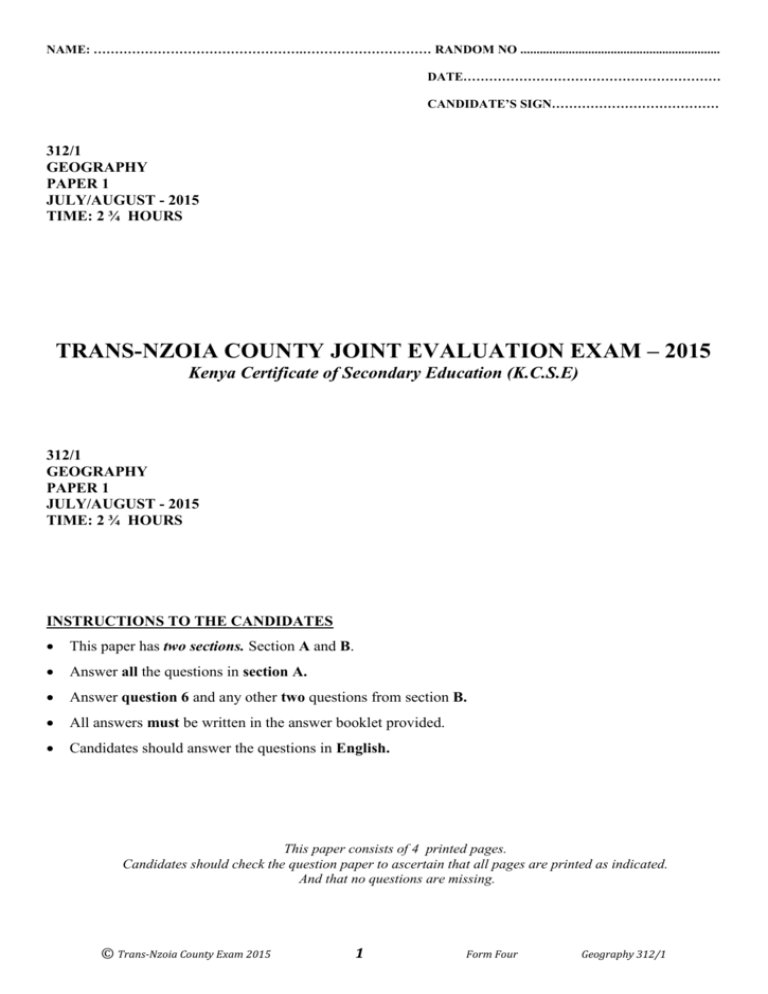
NAME: ………………………………………….………………………… RANDOM NO .............................................................. DATE…………………………………………………… CANDIDATE’S SIGN………………………………… 312/1 GEOGRAPHY PAPER 1 JULY/AUGUST - 2015 TIME: 2 ¾ HOURS TRANS-NZOIA COUNTY JOINT EVALUATION EXAM – 2015 Kenya Certificate of Secondary Education (K.C.S.E) 312/1 GEOGRAPHY PAPER 1 JULY/AUGUST - 2015 TIME: 2 ¾ HOURS INSTRUCTIONS TO THE CANDIDATES This paper has two sections. Section A and B. Answer all the questions in section A. Answer question 6 and any other two questions from section B. All answers must be written in the answer booklet provided. Candidates should answer the questions in English. This paper consists of 4 printed pages. Candidates should check the question paper to ascertain that all pages are printed as indicated. And that no questions are missing. © Trans-Nzoia County Exam 2015 1 Form Four Geography 312/1 SECTION A: (25 MARKS Answer all the questions in this section. 1. 2. 3. (a) Name the main types of environment. (2 mks) (b) State three ways a civil engineer benefits from the study of Geography. (3 mks) (a) List three main forces responsible for the ageoid shape of the earth. (3 mks) (b) State two ways geographers study the interior of the earth crust. (2 mks) (a) Give two reasons why sedimentary rocks are dominant along the coast of Kenya. (2 mks) (b) State three main characteristics which determine the chemical composition of igneous rocks. (3 mks) 4. 5. (a) Define weather. (2 mks) (b) State three reasons why chemical weathering is prevalent in equatorial climate. (3 mks) (a) Use the table below to answer the questions that follow: MONTHS J F M A M J J A S O N D TEMP0 23 23 23 24 23 22 23 22 23 23 24 23 RAIN (MM) 1313 1400 1502 1460 1480 1480 1500 1508 1300 1480 1508 1490 (a) Calculate: (i) Temperature range (1 mk) (ii) Annual rainfall (1 mk) (b) Describe the characteristics of the climate experienced in the above climatic region. (3 mks SECTION B Answer question 6 (compulsory) and any other two questions. 6. Study the map of MIGWANI (1: 50,000) sheet 1511 provided and answer the following questions. (a) (b) (c) (i) Convert the scale of the map into statement scale. (1 mk) (ii) Identify a drainage related feature found in grid 0736978. (1 mk) (i) Give two types of natural vegetation found to the East of easting 10. (2 mks) (ii) Describe the relief of the area covered by the map. (5 mks) (i) Citing evidence give four functions of the GWANI centre. (4 mks) (ii) Measure the length of the dry weather road from the junction grid reference 923789 to grid reference 001840 in km. (d) (2 mks) (i) Reduce by 2 and draw a rectangle to represent the area bound by Eastings 00 and 10 and Northings 62 and 70. (2 mks) (ii) In the rectangle you have drawn, label © Trans-Nzoia County Exam 2015 2 Form Four Geography 312/1 Forest (1 mk) River Vinda (1 mk) Dry Weather road (1 mk) (iii) Give the new scale of the drawn rectangle. (1 mk) (e) Some students were requested to carry out field study on drainage patterns in the area covered by the map. 7. (a) (i) Name two drainage patterns they observed in the area covered by the map. (2 mks) (ii) State two problems likely to be experienced during the field study. (2 mks) (i) Define folding. (2 mks) (ii) Name the main cause of folding of crustal rocks. (1 mk) (b) Study the world map provided and answer the questions below:- X X Z Y (i) Name the fold mountains marked X, Y, Z. (3 mk) (ii) Using diagrams, show how the continental drift theory explains the formation of fold mountains. (10 mks) (c) Students of a school in Trans-Nzoia County intend to carry out a field study on folding. 8. (i) Give three reasons why they require a working schedule. (3 mks) (ii) List two methods of data analysis. (3 mks) (d) List four positive effects of Fold Mountains on human activities. (4 mks) (a) (2 mks) (i) Distinguish between a river tributary and a river confluence. (ii) Describe how a river erodes its channel by the following processes. (b) Hydraulic action (3 mks) Corrasion (3 mks) (i) Explain three factors which influence the rate of river erosion. (6 mks) (ii) State three reasons why levees and raised river beds make flooding more dangerous. (3 mks) (c) The diagrams below represent drainage patterns. © Trans-Nzoia County Exam 2015 3 Form Four Geography 312/1 N 9. (a) P Q (i) Identify the drainage patterns N, P and Q. (3 mks) (ii) Describe how a river capture occurs. (5 mks) (i)Define the term Karst Scenery. (2 mks) (ii) The diagram below shows some of the surface features in a Karst Scenery. Use it to answer question (ii) below. X Z Limestone rock Name the features marked X and Z. (2mks) (i) Describe how a stalagmite is formed. (5 mks) (ii) State five conditions necessary for the development of a Karst landscape. (5 mks) (c) Students of a school in Machakos County intend to carry out a field study in a limestone area. 10. (i) Name three methods of data collection. (3 mks) (ii) List two problems students are likely to encounter during the field study. (2 mks) (d) Explain three significance of limestone landscape on human activities. (6 mks) (a) (i) Differentiate between parent material and bed rock. (2 mks) (ii) Name two types of soil according to texture. (2 mks) (b) (i) Explain how each one of the following factors influence soil formation. Parent rock (3 mks) Topography (3 mks) Living organisms (3 mks) (ii) State four factors which are responsible for the development of a soil catena. (4 mks) (c) (i) State two causes of soil degeneration. (2 mks) (ii) Give four characteristics of desert soils. (4 mks) (iii) State two ways of conserving soil. (2 mks) © Trans-Nzoia County Exam 2015 4 Form Four Geography 312/1
