Population density and distribution
advertisement
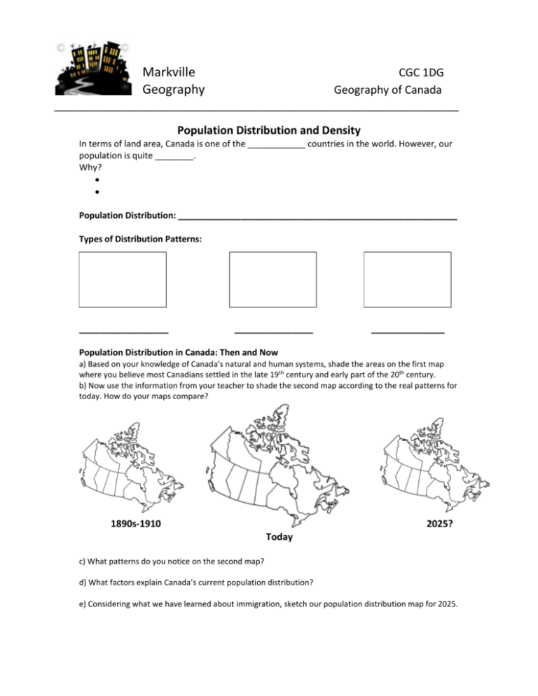
Markville Geography CGC 1DG Geography of Canada __________________________________________________________________ Population Distribution and Density In terms of land area, Canada is one of the ____________ countries in the world. However, our population is quite ________. Why? Population Distribution: __________________________________________________________ Types of Distribution Patterns: _________________ _______________ ______________ Population Distribution in Canada: Then and Now a) Based on your knowledge of Canada’s natural and human systems, shade the areas on the first map where you believe most Canadians settled in the late 19th century and early part of the 20th century. b) Now use the information from your teacher to shade the second map according to the real patterns for today. How do your maps compare? 1890s-1910 2025? Today c) What patterns do you notice on the second map? d) What factors explain Canada’s current population distribution? e) Considering what we have learned about immigration, sketch our population distribution map for 2025. POPULATION DENSITY: MAKING PREDICTIONS AND CALCULATIONS Population Density is ____________________________________________________________ A locale example of an area with a high population density would be __________________ and an area with a low population density would be ________________. Sketch it! HIGH LOW Check out the National Geographic population density map of the world. Does Canada have a high or low population density compared to other countries? ______________________________________________________________________________ Identify three countries that have high population densities. ______________________________________________________________________________ Population Density Formula Example: YOUR TASK: 1. Predict which province/territory has the highest population density and the lowest. What have you considered in making your prediction? ______________________________________________________________________________ ______________________________________________________________________________ 2. Calculate the population densities for each province and territory using the chart below. POPULATION DENSITY BY CANADIAN PROVINCE AND TERRITORY Province or Territory Population Area (square km) Newfoundland and Labrador Prince Edward Island 510 600 373 872 145 900 5 660 Nova Scotia 945 400 53 338 New Brunswick 755 500 71 450 Quebec 7 979 700 1 365 128 Ontario 13 373 000 917 741 Manitoba 1 250 600 553 556 Saskatchewan 1 057 900 591 670 Alberta 3 779 400 642 317 British Columbia 4 573 300 925 186 Yukon 34 700 474 391 Northwest Territories 43 700 1 183 085 Nunavut 33 300 1 936 113 Canada 34 482 800 9 984 670 Population Density (ppl/square km) Critical Thinking Follow-Up: 1. Which province/territory has the highest population density? Lowest? Are you surprised by these findings? 2. Which provinces/territories are above the national average? What pattern can you see with these results? 3. Predict what types of challenges may arise in areas that have high population densities.
