Topographic Map Notes
advertisement
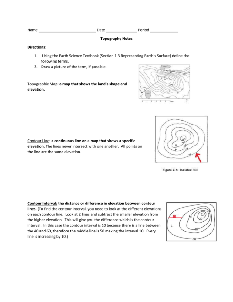
Name Date Period Topography Notes Directions: 1. Using the Earth Science Textbook (Section 1.3 Representing Earth’s Surface) define the following terms. 2. Draw a picture of the term, if possible. Topographic Map: a map that shows the land’s shape and elevation. Contour Line: a continuous line on a map that shows a specific elevation. The lines never intersect with one another. All points on the line are the same elevation. Contour Interval: the distance or difference in elevation between contour lines. (To find the contour interval, you need to look at the different elevations on each contour line. Look at 2 lines and subtract the smaller elevation from the higher elevation. This will give you the difference which is the contour interval. In this case the contour interval is 10 because there is a line between the 40 and 60, therefore the middle line is 50 making the interval 10. Every line is increasing by 10.) Scale: the relationship or ratio between distances on a map related to the actual land. Finding the direction of a river: 1. Rivers always flow from higher elevation to lower elevation due to gravity. a. Based on the elevation of the map, you can determine the river’s direction based on where the higher elevation and lower elevations are. 2. If there isn’t an elevation shown, the contour lines form a “V” shape over the river. The river always flows opposite the direction of the point on the “V.”) a. In the picture below, the river is moving North East because the ocean’s elevations is always 0 (seas level) and the 5th contour line is marked 100 therefore, the river has to be flowing towards the ocean. b. If you also look at the contour lines, they curve and make a “V” shape over the river, the river flows away from the point.


