the fossil record
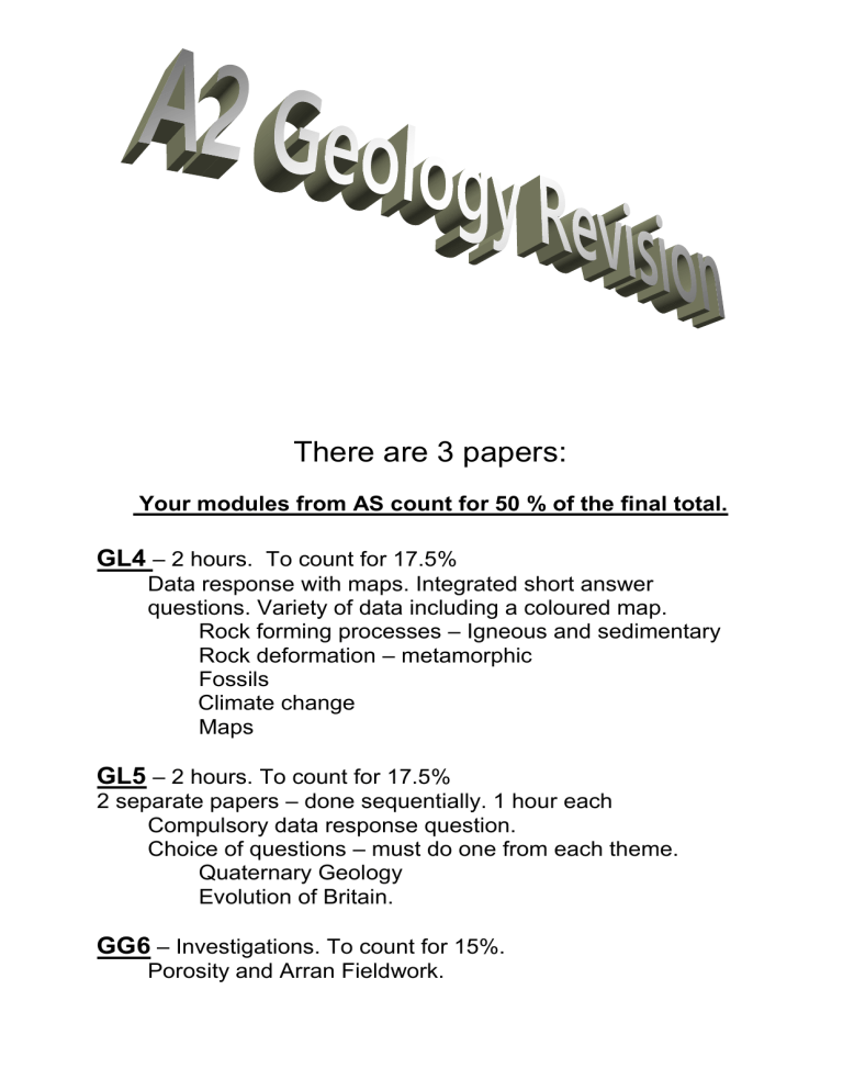
There are 3 papers:
Your modules from AS count for 50 % of the final total.
GL4
– 2 hours. To count for 17.5%
Data response with maps. Integrated short answer questions. Variety of data including a coloured map.
Rock forming processes – Igneous and sedimentary
Rock deformation
– metamorphic
Fossils
Climate change
Maps
GL5
– 2 hours. To count for 17.5%
2 separate papers
– done sequentially. 1 hour each
Compulsory data response question.
Choice of questions
– must do one from each theme.
Quaternary Geology
Evolution of Britain.
GG6
– Investigations. To count for 15%.
Porosity and Arran Fieldwork.
UNIT GL4: INTERPRETING THE GEOLOGICAL
RECORD
ROCK FORMING PROCESSES
(a) Melting of rock material at depth to form magma occurs in a number of different plate environments:
(i) beneath constructive plate margins - partial melting of mantle rocks generates basaltic magma.
(ii) near to destructive plate margins - partial melting of subducted oceanic lithosphere and overlying lithospheric wedge generates andesitic magma.
(iii) in mantle plumes (hotspots) - partial melting of mantle rocks generates basaltic magma.
(iv) in deeply buried lower continental crust during orogeny - melting of crustal material generates granitic magma. simple calculation of depth of formation of granite magma by crustal melting by interpretation of graphs showing continental geotherm and melting temperatures of wet and dry lower crustal material.
(b) Mechanisms of emplacement and extrusion of magmas depend on magma..
density,
viscosity,
fluid pressure:
buoyancy forces;
rate of rise
importance of gas content
(c) Igneous rock composition and texture depend on
magma composition. cooling rate crystallisation processes.
Phase diagrams to show where minerals occur (plagioclase, feldspars, olivines.)
Differentiation: continuous and discontinuous reaction series (Bowen); gravity settling to give cumulates
(d) Magma can become contaminated. Incorporation of rock material during rise and emplacement
change of composition and physical properties:
xenoliths.
(a) Immature sedimentary rocks have a wide range of minerals and/or lithic clasts; mature sedimentary rocks have few minerals, dominated by those resistant to weathering and erosion.
(b) Mature sedimentary rocks exhibit fewer essential minerals due to a number of processes.
weathering, (heating/ cooling, freeze/thaw, hydrolysis, carbonation, solution and oxidation) which breaks silicate rocks down into quartz, muscovite, clay minerals, soluble salts, iron oxides and resistant heavy minerals.
erosion, which sorts raw materials of weathering by a variety of physical and chemical processes and further breaks down the insoluble fraction - abrasion, corrosion, saltation/suspension of particulate grains (effect of composition, weight, density and shape of grains);
deposition, which selectively concentrates products in particular environments - grain size related to energy of depositional environment; dominance of quartz and muscovite in coarse fraction and clay minerals in fine fraction; flocculation; precipitation; concentration of biogenic material in particular environments.
(c) Sedimentary rocks exhibit difference in texture.
These are
grain angularity,
sphericity,
size,
sorting which reflect:
(i)
(ii)
(iii) the nature of rocks from which they were derived; conditions of climate, weathering, erosion and deposition operating during their formation.
post-depositional factors
(a) Igneous and sedimentary rocks contain minerals that are stable or metastable at the temperature and pressure of their formation. Analysis of simple pressure - temperature - time paths involved in contact and regional metamorphism. Changes in temperature and/or pressure during metamorphism lead to the growth of new minerals with different stability fields of selected metamorphic minerals: kyanite/ sillimanite/andalusite.
(b) The mineralogical changes during metamorphism depend on the composition of the parent rock. Contact and regional metamorphism of mudstone lead to the growth of new minerals indicative of the type and grade of metamorphism: low to high grade metamorphism.
(c) Contact, regional and dynamic metamorphism result in characteristic textural changes associated with recrystallisation, ductile flow and shear deformation.
Metamorphic textures: granoblastic; porphyroblastic; mylonitic.
ROCK DEFORMATION
(a) Rock deformation results when rocks undergo pressure in response to tectonic stresses.
(b) Faulting results when applied tectonic stresses exceed the fracture strength of a rock.
Fault type is determined by the orientation of the principal stresses.
Elastic/brittle Ductile/plastic Elastic limit Yield point/fracture point
Technical terms to describe fault elements: slickenside: fault gouge, fault breccia, mylonite.
Relationship between fault type (normal, reverse/thrust, strike-slip) and the orientation of the principal stress components
σmin, σint and σmax .
(c) Folding results when compressional stresses exceed the yield strength of a rock.
Technical terms to describe:
(i) fold elements - plunge (of axis), axial planar cleavage;
(ii) fold shapes - amplitude, wavelength, interlimb angle, open, tight, isoclinal, upright, inclined, overturned, recumbent, cylindrical.
(d) Structural reactivation: earlier formed faults can be reactivated during later tectonism.
Structural inversion: reactivation of normal faults in compression or reverse faults/thrusts in extension.
____________________________________________________________________
THE FOSSIL RECORD
Key Idea 1: Morphology, function, mode of life
(a) Classification on the basis of morphology.
Phylum/class/order/genus/species
(b) Morphology is related to mode of life/function.
Bivalves, Brachiopods, Dinosaurs, Angiosperms.
(c) There are problems in relating morphology to function in extinct groups of organisms.
Recognition of the value of exceptional preservation.
Trilobites
(d) The fossil record is biased and incomplete: natural processes can distort or destroy fossil evidence
predation, scavenging, diagenesis, weathering, erosion
Key Idea 2: Fossils change through time
(a) The fossil record provides evidence of change through time.
Precambrian fossils - bacteria, algae, medusoids; The Ediacaran
The Cambrian Explosion: the development of mineralised skeletons led to a wide variety of advanced marine invertebrates by the early Cambrian.
Life in the ocean diversified in stages identified by separate fauna: a basic understanding of the difference between Cambrian, Palaeozoic and modern faunas).
The Phanerozoic was marked by the migration of organisms on to the land during the
Palaeozoic. Vertebrate development of amphibians from fish, reptiles from amphibians and mammals and birds from reptiles. Colonisation by land plants.
(b) Mass extinctions are exemplified by the end-Permian and Cretaceous-Tertiary (K-T) boundary. Contrasting theories
(b) Diversity increased through the Phanerozoic punctuated by many declines caused by mass extinction events. Mass extinctions may result from a variety of factors including:
asteroid impact (Alvarez);
increase in volcanicity (flood basalts);
changes in land/sea;
rapid climate change.
Mass extinctions are exemplified by the P-T and K-T boundary events.
(c) There are alternative interpretations of evolutionary patterns based on the fossil record. Gradual change (gradualism) vs stability interrupted by sudden change (punctuated equilibrium).
Key Idea 3: A combination of global factors contributes to climate change through geological time a) The distribution of continents and mountain belts affects oceanic and atmospheric circulation, influencing past and present global climate.
(b) Milankovitch cycles are regarded as a contributory cause of ice ages.
(c) Changes in atmospheric composition of greenhouse gases (especially - CO2 and methane) result from natural processes (volcanic activity, rock weathering, methane hydrates) throughout geological time.
(d) There have been climate changes throughout geological time. The current rate of change appears to differ from those in the past.
Key Idea 4: Evidence of global climate change is obtained from the fossil record, sedimentary rocks and ocean sediments.
(a) The fossil record provides evidence of different climatic zones as exemplified by
land plants and corals
(b) Sedimentary sequences provide evidence of depositional environments related to particular climatic zones.
- Carboniferous (icehouse) ancient glacial deposits
- Cretaceous (greenhouse) tropical deposits
(c) Oxygen isotope ratios ( 18 O/ 16 O) in fossil shells are indicative of the temperature of ancient ocean waters.
GEOLOGICAL MAP INTERPRETATION
Outcrop patterns of dipping strata and faults in relation to topography:
direction of closure of V-shaped outcrops in valleys as an indication of dip direction;
close parallelism of geological boundaries and topographic contours as a sign of near horizontal dip
linear geological boundaries crossing topographic relief as an indication of steep dip.
Geological maps provide an essential database:
(i) about the distribution of rocks at the surface and can be used to interpret or predict subsurface geological conditions.
(ii) for geological applications:
design of construction projects;
identification of geological hazards;
location of resources - groundwater, fossil fuels; alternative energy sources;
identification of environmental issues from extraction of these resources;
assessment of suitability for sustainable waste disposal.
UNIT GL5: GEOLOGICAL THEMES
Option Theme 1 – Quaternary Geology
Key Idea 1: The study of modern environments enables us to interpret the sedimentary rock record
(a) The present is the key to the past.- examples from a variety of sources including Arran.
(b) Modern Marine Environments – Limestones being produced by modern processes
- Bioclastic
- Coral Reefs
- Algal Reefs
- Chalks
- Micrites
Key Idea 2: The wide range of Quaternary deposits and landforms in Britain provides a fragmentary record of former glacial and interglacial stages in Britain
Climate change in the Quaternary
1) Glacial, periglacial, Fluvioglacial, interglacial features. As evidence for patterns of climatic change and of ice movement.
2) Climatic cycles
– glacials/interglacials Short and long term changes.
3) Sea Level changes (eustatic/isostatic) – links and resultant features
4) Fossils provide evidence for climatic fluctuations in Britain during the Quaternary period.
Radiocarbon (14C) dating of organic material.
5) Ice core evidence for atmospheric change.
Key Idea 3: Quaternary landforms and drainage are partly controlled by geological structure and lithology
1) Geological structures and bodies result in a variety of relief forms associated with: dipping strata; folds; faults; joints; igneous bodies.
2) Geological structure and lithology control river drainage patterns
- radial, trellised, dry valleys, subterranean river courses, groundwater flow, springs.
____________________________________________________________________
Theme 3: GEOLOGICAL EVOLUTION OF BRITAIN
Key Idea I: Rocks in Britain have been determined by tectonic activity
(a) Rocks from all the major subdivisions of geological time occur in Britain: Precambrian, Early and
Late Palaeozoic, Mesozoic, Cenozoic (Tertiary, Quaternary).
(b) A number of orogenic events have affected the British area: location and large-scale geology (ages, main structures and dominant trends, plutonic and metamorphic rocks) of the Caledonian and Variscan orogenic belts; Alpine orogenic influences in Britain.
(c) Study of the orogenic belts enables a reconstruction of the plate tectonics in which they developed.
(d) The Tertiary Igneous Province of NW Britain provides evidence of the early history of the opening of the North Atlantic Ocean, (Arran)
Key Idea 2: Changes in the latitude of the British area through geological time are interpreted from evidence of former climates a) (i) Sedimentary rocks and their contained fossils may be used to interpret environments of deposition: fluvial, deltaic, shallow and deep marine.
(ii) Rocks in Britain show evidence of major climatic change through Phanerozoic time, exemplified by:
Permo-Triassic - semi-arid and desert terrestrial and hypersaline marine deposits.
Carboniferous, Jurassic and Cretaceous - tropical, shallow marine and terrestrial deposits.
(a) The palaeomagnetic field direction in some British rocks provides evidence of latitude at the time of magnetisation, assuming that geographical and magnetic poles have always lain close together.
(b) The use of palaeomagnetic data to calculate palaeolatitudes for the British area, and interpretation of apparent polar wandering curves to determine palaeolatitude changes through time.
Key Idea 3: Plate tectonic movements have resulted in the northward drift of the British area through Phanerozoic time
(a) Geological information from Britain may be related to global events to develop a model of change due to plate tectonics:
Early Palaeozoic. Northern and southern parts of Britain in different continents separated by the lapetus Ocean.
deep: black graptolitic shales and turbidites; shallow: sandstones, shales and limestones with shallow water fossil assemblages including corals, brachiopods, trilobites.
Mid Palaeozoic. Caledonian orogeny and fusion of Euramerica. Region of Britain immediately south of the equator. Continental red beds: sandstones; breccias; conglomerates;
Mudstones.
Late Palaeozoic. Britain drifted north across the equator with possible destruction of a tract of oceanic lithosphere during the Variscan orogeny. equatorial rain forest conditions: coal measures with sandstones, shales, bivalves and plant remains. Coal seams nd seat-earths with rootlets.
Early Mesozoic. During the Triassic-Jurassic, separation of Laurasia and Gondwana by the
Tethys ocean in southern Europe. Region of Britain lay about 20°N of the equator. Rifting and subsidence in North Sea area related to Atlantic opening. Red beds and evaporites.
Shallow marine shelf deposits.
Late Mesozoic. During the Cretaceous, continued opening of the Atlantic, separation of
Eurasia and Africa from the Americas, and of India from Antarctica/Australia. Region of
Britain lay about 35°N. Continued subsidence of North Sea area. Open marine chalk deposits recording a period of high global temperatures and sea levels.
Cenozoic. Formation of the Alps with related tectonic movements in the British area. Extensive volcanism in NW Britain. Britain now lies between 5060°N. Tertiary Igneous Province associated with opening of North Atlantic.
