Estate Master Plan - Newcastle University
advertisement
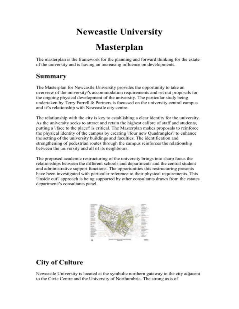
Newcastle University Masterplan The masterplan is the framework for the planning and forward thinking for the estate of the university and is having an increasing influence on developments. Summary The Masterplan for Newcastle University provides the opportunity to take an overview of the university\'s accommodation requirements and set out proposals for the ongoing physical development of the university. The particular study being undertaken by Terry Farrell & Partners is focussed on the university central campus and it\'s relationship with Newcastle city centre. The relationship with the city is key to establishing a clear identity for the university. As the university seeks to attract and retain the highest calibre of staff and students, putting a \'face to the place\' is critical. The Masterplan makes proposals to reinforce the physical identity of the campus by creating \'four new Quadrangles\' to enhance the setting of the university buildings and faculties. The identification and strengthening of pedestrian routes through the campus reinforces the relationship between the university and all of its neighbours. The proposed academic restructuring of the university brings into sharp focus the relationships between the different schools and departments and the central student and administrative support functions. The opportunities this restructuring presents have been investigated with particular reference to their physical requirements. This \'inside out\' approach is being supported by other consultants drawn from the estates department\'s consultants panel. City of Culture Newcastle University is located at the symbolic northern gateway to the city adjacent to the Civic Centre and the University of Northumbria. The strong axis of Northumberland Street and Pilgrim Street links these centres of learning and local government to all of the major cultural elements in the city centre. The dramatic regeneration of the East Quayside, following the Terry Farrell & Partners Masterplan, has now given rise to the acclaimed Millennium Bridge and the link to Baltic Mills and the Regional Music Centre. Within the university campus, the concept of the Foyer building on the Barras Bridge site and the link to the Hancock Museum form a key component in the overall cultural strategy. Arrival The first impression many visitors to the university have is through the information map sent out to all prospective visitors. Instructions for visitors by car lead in from the Western Bypass, arriving at the northern side of the campus, effectively the \'back door\' to the city. Information on arrival by public transport is given though does not offer a clear direction on how pedestrians enter the campus. City Context Within the city centre, a number of districts exist that serve to reinforce the identity of individual areas. In considering the relationship between the university and the city it is worth noting that \'outposts\' of the university already exist at the International Centre for Life with proposals for sites at the Regional Music Centre and potentially the Baltic Business Park and Knowledge Campus. All of these satellite sites help to further reinforce the ties with the city. At the same time it is important to ensure that the core activities are concentrated on the central campus. Aerial Views The aerial views clearly show the urban setting of the campus in close proximity with the city centre and the underlying grids and geometries that have shaped the campus development. Closer inspection of the Armstrong Building at the heart of the campus reveals a fine east elevation that is largely concealed from view at ground level by the Museum of Antiquities and the Boiler House. The Masterplan seeks to reveal this \'hidden asset\'. Access The university map identifies an entrance to the University off Claremont Road, a vehicular entrance for visitors. The various departmental buildings are identified with their respective entrances. As is often found with a collection of buildings developed over history, access for the mobility impaired is only possible through a series of alternative entrances. Historical Evolution The evolution of the campus through history shows a changing relationship between \'town and gown\'. The foundation of the university with the College of Medicine in 1852 and the Durham College of Science in 1871 occurred in the Burgage plots to the rear of the premises on Haymarket / Barras Bridge. The \'front door\' to the university existed off College Road. With the construction of the Royal Victoria Infirmary (RVI) in 1900 and the opening of Queen Victoria Road, the front door to the university turned away from the city towards the Royal Victoria Infirmary. In 1911, the construction of the Quadrangle and \'The Arches\' began to signal an approach back towards the city, albeit one block back from Barras Bridge. Within the Masterplan, the variety of approaches and entrances are recognised whilst the development of the Barras Bridge site in particular offers the opportunity to establish a significant address and \'Grand Foyer\' for the University facing the city. Land Use The University is one of the major land owners within the city centre. When combined with the University of Northumbria, educational land use dominates the northern area of the city centre. Immediately adjoining the campus are a broad range of other users from residential through to retail and other commercial. The close proximity of St James\' Park also has an effect on the campus with the considerable movement of people and vehicles on match days. The evolution of the Masterplan respects all of these neighbours and their varying aspirations. Site Analysis The site analysis diagrams summarise the range of issues raised in detail above. In particular the movement of pedestrians through the campus reveals a strong east-west flow along Kings Walk, The Quadrangle and Lovers Lane. The central corridor through the Medical School (The M1) has become a major route for those familiar with the campus and offers shelter from inclement weather. The route from Haymarket Metro to the RVI is predominantly through the Herschel Car Park and then between the Bedson Building and King George VI Building. This route delivers pedestrians at some distance from the crossing points of Queen Victoria Road and leads to potentially dangerous conflict with vehicles. Members of the public visiting the RVI who are unfamiliar with or intimidated by the campus, tend to walk around the campus up St Thomas\' Street. Certain pedestrian routes through the campus are active at certain times of the day, but rapidly become perceived as hostile areas in the evening. Existing Faculty Distribution The proposed faculty restructuring when applied to the existing pattern of building uses reveals a surprisingly clear identity for each faculty. Medicine and Dentistry located west of Queen Victoria Road. Science Agriculture and Engineering located along Queen Victoria and Claremont Road and Humanities occupying the sites facing the city. Also prevalent within the use pattern are the Administrative infrastructure focussed around Park, Kensington, Devonshire and Windsor Terraces and the Common Facilities of the Student Union, Refectory, Library and Sports Centres. The actual pattern of occupation shows are somewhat more complex mixture of uses within certain buildings, but the principle distribution remains the same. Proposed Faculties - Generic Distribution Models With the move from seven to three faculties, an investigation of the ways in which three elements can be structured reveals a number of basic approaches shown in the organisation concept diagrams A - F. The opportunity for the common facilities to form an \'spine\' linking the faculties is explored. The location of administration adjacent to the common facilities offers the opportunity for the administration to be seen as an integral part of the university and provide ready access for the academic staff to their support infrastructure. The synopsis diagram shows how the existing distribution of faculties, common facilities and administration can be developed by strengthening the common facilities spine running through the heart of the campus, drawing in those common facilities which are otherwise buried in individual faculties. Four New Quads The existing Quadrangle provides a clearly recognisable piece of public realm which is enjoyed by all. The quadrangle serves as an address to the departments accessed from it. In conceptual terms, the Masterplan seeks to create four new Quadrangles to add value to the whole estate and strengthen the identities of the faculties fronting each new major piece of public realm. Kings Quad Serving as \'The University Quadrangle\' Kings Quad would be created by the demolition of the lower rise Antiquities Museum building (with the Museum moved to the proposed Barras Bridge foyer building) Within a programme of planned renewal, the boiler house could be relocated on the district heating system and a major new space created. This would open out the previously concealed east elevation of the Armstrong Building and provide a new reception point for visitors to the University. The Kings Quad (taking its name from Kings Road) would also unite the Student Union and Refectory Builiding. Kings Road itself would become an integral part of the hard landscape within the new Quadrangle. Armstrong Quad Given the foundation of the university and its relationship to the RVI, Armstrong Quad would offer a united address shared by the University and The RVI. With the proposed developments at the RVI, there is the potential to build on this relationship to mutual benefit. Queen Victoria Road would be treated as an integral part of the landscape whilst at the same time recognising it\'s importance as part of the road network of the city centre. The need to maintain access for emergency vehicles and ambulances in particular is paramount. With the improvements to Kings Quad, a clearly legible route from Haymarket Metro through the campus to the RVI would be created, linked to safe crossing points of Queen Victoria Road. Claremont Quad The existing area of landscape could be given a new importance by consolidating the points of entry to the surrounding buildings to face onto Claremont Quad. By linking the landscape across Claremont Road, the Cassie, Stephenson and new Devonshire buildings would become more fully integrated and Claremont Quad would become recognised as the Science and Engineering Faculty Quad. The Quadrangle The existing Quadrangle serves as the point of entry to a number of departments within the Humanities Faculty. This would remain unchanged in the Masterplan. Framlington Quad / Lovers Lane The landscape of Lovers Lane would be enhanced along its length, with the potential for some realignment at its eastern end to offer a more direct link across Queen Victoria Road. Framlington Quad could be created at one of a number of points. At the vehicular entrance from Claremont Road, at the new entrance to the Medical School or potentially as a Western Gateway to the campus. This latter option offers the potential to tie in the new NICR Paul O\'Gorman Building being developed on the Old Brewery site. As well as these new Quads, a number of opportunities have been identified to create new courts within existing buildings. Bedson and Armstrong Courts would open up a complete set of new entrances and tie in with the more accessible routes into these major buildings. With the redevelopment of the Barras Bridge site, an alternative vehicular servicing strategy for the Students Union and Refectory would allow the removal of the steps on Kings Walk and a reinstatement of the natural gradient. The Arches would once again become visible from Barras Bridge. The existing split pedestrian crossing of Barras Bridge could be relaid as a single phase crossing removing the dangerous overcrowding of the central pedestrian reserve and offering a more direct and legible link between the university and the city centre. Pedestrian and Vehicular Routes The Masterplan identifies and strengthens the natural pedestrian routes and desire lines through the campus. The two points of vehicular access off Claremont Road and St Thomas Street are maintained, but the need for vehicles to run along the full length of Kings Road is removed. At the eastern end of Kings Road, the vista towards the Hancock Museum would be opened up, linking the Hancock more closely with the central campus. This would further reinforce the concept of the Cultural Foyer in conjunction with potential development of the Barras Bridge site. Building Entrances Existing building entrances reflect the incremental development of the campus. Whilst Kings Road exists at the heart of the Campus, only one building entrance is located on Kings Road. The Masterplan opens up existing locked doors and proposes new points of entry, accessible for all, which further strengthen the natural routes through the campus. Car Parking Existing car parking operates on a system of a permit to park on the central campus, controlled at point of entry. As well as the official designated parking spaces, a small amount of unofficial parking has a disproportionately large effect on the setting of some of the key buildings and would conflict with the clarity of the Four New Quads strategy outlined above. To resolve these conflicts, the Masterplan proposes the creation of two new parking structures. A multi storey car park at the south eastern corner of the campus is naturally located to serve the central and southern areas and offers the potential of dual use linking in with the city\'s own parking strategy for the central retail areas. The Old Forge Building, Joseph Cowen House and Porter Building would be redeveloped. The new car park would be set behind single aspect accommodation facing St Thomas\' Street. Development of a new decked car park on the existing surface Claremont Road car park would best serve cars arriving from the north and be a natural place for parking to serve the Medicine and Dentistry Faculties and Science and Engineering faculties. Both of these new multi storey car parks could be considered as potential PFI projects given the revenue income of dual use. Development Opportunities The plan shows a series of opportunities which arise in the Campus for possible new developments, building disposals and demolition. The landscape opportunities associated with the new Quads are identified. The relatively small levels of investment required in landscaping would provide considerable benefit to the public realm and legibility and ambience of the campus. Added Value These initial appraisals lead to an outline estates strategy which identifies the potential for certain building disposals. The income raised by these disposals could be allocated to the proposals outlined in the Masterplan and linked to sources of funding from Academic restructuring. Other sources of funding from industry sponsors and private sources could be targeted to individual specific opportunities with the knowledge that a coherent overall strategy exists so that the \'whole is greater than the sum of the parts\'. Links and Connections Each of the six key routes through the campus is identified by a proposed plan and existing photographs. A series of \'before and after\' views begin to show the benefits that would accrue from the Masterplan. Campus Masterplan
