FOR FEMA AND STATE REVIEW-MeetingMinutes-Hillsboro
advertisement
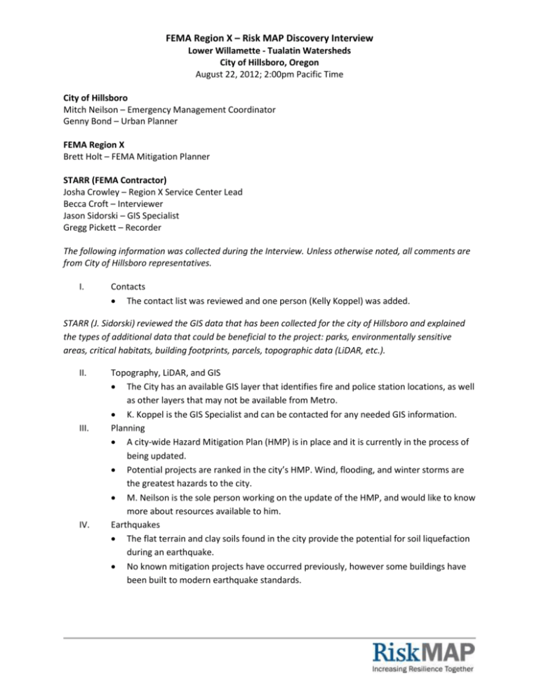
FEMA Region X – Risk MAP Discovery Interview Lower Willamette - Tualatin Watersheds City of Hillsboro, Oregon August 22, 2012; 2:00pm Pacific Time City of Hillsboro Mitch Neilson – Emergency Management Coordinator Genny Bond – Urban Planner FEMA Region X Brett Holt – FEMA Mitigation Planner STARR (FEMA Contractor) Josha Crowley – Region X Service Center Lead Becca Croft – Interviewer Jason Sidorski – GIS Specialist Gregg Pickett – Recorder The following information was collected during the Interview. Unless otherwise noted, all comments are from City of Hillsboro representatives. I. Contacts The contact list was reviewed and one person (Kelly Koppel) was added. STARR (J. Sidorski) reviewed the GIS data that has been collected for the city of Hillsboro and explained the types of additional data that could be beneficial to the project: parks, environmentally sensitive areas, critical habitats, building footprints, parcels, topographic data (LiDAR, etc.). II. III. IV. Topography, LiDAR, and GIS The City has an available GIS layer that identifies fire and police station locations, as well as other layers that may not be available from Metro. K. Koppel is the GIS Specialist and can be contacted for any needed GIS information. Planning A city-wide Hazard Mitigation Plan (HMP) is in place and it is currently in the process of being updated. Potential projects are ranked in the city’s HMP. Wind, flooding, and winter storms are the greatest hazards to the city. M. Neilson is the sole person working on the update of the HMP, and would like to know more about resources available to him. Earthquakes The flat terrain and clay soils found in the city provide the potential for soil liquefaction during an earthquake. No known mitigation projects have occurred previously, however some buildings have been built to modern earthquake standards. Risk MAP Discovery Interview – Lower Willamette - Tualatin Watersheds City of Hillsboro – August 22, 2012 V. VI. VII. VIII. Page 2 of 3 Wildfires The wildfire threat in the city is minimal. Most of the Urban Interface issues are located north and south of the city, outside of the city limits. Landslides Because the city is largely flat, there is little potential for landslides. Severe Storms High winds are a likely cause of storm damage in the city, with power lines occasionally coming down during strong storms. Ice and snow are an occasional problem. A 50-year (26”) snowfall event occurred in 2008. The ability to clear and use roads in large snowfall events is a problem, but it is mostly a snowplow/manpower problem. There has been no need for emergency shelters in the past. The Red Cross and County do maintain a list of potential shelter sites. The Public Information Officer and media outlets are the primary way to get hazard and risk information out to the public. A Reverse 911 system exists, but probably wouldn’t be used. Local media is more likely to be used in the event of an emergency. Social media is not being used as a whole, but is used at times. Flooding Roads in the city have been underwater, especially during flooding in 1996, but they did not wash out. The City is concerned about the accuracy of the Washington County preliminary maps and text, although they listed their own city’s FIRMs as “pretty much correct”. Recent projects have expanded culverts and increased bridge sizes. This has helped increase the amount of flow in some creeks during storm events. Highway 219 was underwater in some locations in 1996. Culverts may have been replaced since that flooding event took place. The west end of town has three lots that are vacant and partially in the floodplain. Development is sometimes allowed in floodplain, as long as it does not allow a net rise in the Base Flood Elevation. There is some pressure for development on these lots. The City would like information on how to better regulate their floodplains. They would like to implement stricter building codes to keep people from building, flattening, and filling in the floodplains. The City has talked to Christine Shirley of the Oregon DLCD in the past, but not in recent months. Hillsboro has concerns about their model ordinance. Storm water along the Tanner Creek Drainage is a reoccurring problem. It is a fully developed area. The city’s storm drainage infrastructure in this area does not always have the capacity to handle the amount of water of a large storm event. Risk MAP Discovery Interview – Lower Willamette - Tualatin Watersheds City of Hillsboro – August 22, 2012 IX. X. XI. XII. Page 3 of 3 Levees The City was not aware of any levees within the limits of Hillsboro. Environmentally Sensitive Areas (ESAs) A Significant Natural Resource overlay is available from K. Koppel. All ESAs located within the city are protected from any future development. There is some potential for development, including some areas located in the floodplain. Communications and Outreach Churches, school districts, and businesses, are primary sources of community outreach. The City would like some examples of the tools that other cities use for their outreach projects. Saturday-Tuesday Markets and other community events seem to work better than utility bills do for getting information out to the public. The City believes that face-toface works better than pamphlets, paper materials, etc. Some outreach has been done with the city’s Latino community previously, especially for fire safety. The City prefers to emphasize preparing for any/all events, rather than specific events. No real measurement of effectiveness has been completed, but the City estimates that only about 5% of the population is being reached through their outreach efforts. City Council Meetings could be used to raise awareness about this and other projects, especially among city officials. The City currently does not have a floodplain administrator. Management for floodplain issues falls to the Planning Department. The planning director is listed in the local floodplain ordinance as the person responsible for regulating the city’s floodplains. The City was encouraged to make sure that the City Planner knows about his/her role and if necessary, to designate someone else to take over that role. A separate floodplain permitting process exists. Any building in the floodplain requires a floodplain alteration permit in addition to the normal building permit process. The City expressed a big need for additional planning and support for floodplain management. Other Hillsboro is located in Washington County, which has preliminary maps from FEMA’s Map Modernization Project. Some communities are already using this preliminary data for various floodplain management purposes. Two hospitals are located within Hillsboro, but neither has transportation issues in the event of an emergency.
