Natural Heritage EDITS - Measuring Conservation Success
advertisement
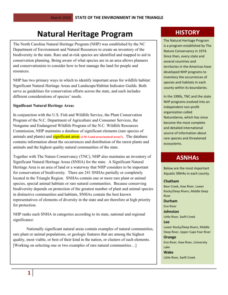
March 2010 STATE OF THE ENVIRONMENT IN THE TRIANGLE HISTORY Natural Heritage Program = The North Carolina Natural Heritage Program (NHP) was established by the NC Department of Environment and Natural Resources to create an inventory of the biodiversity in the state. Rare and at-risk species are identified and mapped to aid in conservation planning. Being aware of what species are in an area allows planners and conservationists to consider how to best manage the land for people and resources. NHP has two primary ways in which to identify important areas for wildlife habitat: Significant Natural Heritage Areas and Landscape/Habitat Indicator Guilds. Both serve as guidelines for conservation efforts across the state, and each includes different considerations of species’ needs. Significant Natural Heritage Areas In conjunction with the U.S. Fish and Wildlife Service, the Plant Conservation Program of the N.C. Department of Agriculture and Consumer Services, the Nongame and Endangered Wildlife Program of the N.C. Wildlife Resources Commission, NHP maintains a database of significant elements (rare species of animals and plants) and significant areas (LM: Land areas/natural areas?). The database contains information about the occurrences and distribution of the rarest plants and animals and the highest quality natural communities of the state. Together with The Nature Conservancy (TNC), NHP also maintains an inventory of Significant Natural Heritage Areas (SNHA) for the state. A Significant Natural Heritage Area is an area of land or a waterway that NHP considers to be important for conservation of biodiversity. There are 241 SNHAs partially or completely located in the Triangle Region. SNHAs contain one or more rare plant or animal species, special animal habitats or rare natural communities. Because conserving biodiversity depends on protection of the greatest number of plant and animal species in distinctive communities and habitats, SNHAs contain the best known representatives of elements of diversity in the state and are therefore at high priority for protection. NHP ranks each SNHA in categories according to its state, national and regional significance: Nationally significant natural areas contain examples of natural communities, rare plant or animal populations, or geologic features that are among the highest quality, most viable, or best of their kind in the nation, or clusters of such elements. [Working on selecting one or two examples of rare natural communities…] The Natural Heritage Program is a program established by The Nature Conservancy in 1974. Since then, every state and several countries and territories in the Americas have developed NHP programs to inventory the occurrences of species and habitats in each county within its boundaries. In the 1990s, TNC and the state NHP programs evolved into an independent non-profit organization called NatureServe, which has since become the most complete and detailed international source of information about rare species and threatened ecosystems. ASNHAS Below are the most important Aquatic SNHAs in each county. Chatham Bear Creek, Haw River, Lower Rocky/Deep Rivers, Middle Deep River Durham Eno River Johnston Little River, Swift Creek Lee Lower Rocky/Deep Rivers, Middle Deep River, Upper Cape Fear River Orange Eno River, Haw River, University Lake Wake Little River, Swift Creek 1 March 2010 STATE OF THE ENVIRONMENT IN THE TRIANGLE Statewide significant natural areas contain similar ecological resources that are among the best occurrences in North Carolina. There are a few better quality representatives or larger populations on nationally significant sites elsewhere in the nation or possibly within the state. Regionally significant natural areas contain natural elements that may be represented elsewhere in the state by better quality examples, but which are among the outstanding examples in their geographic region of the state. A few better examples may occur in nationally or state significant natural areas. Regions consist of an area the size of about five counties. Many of these special places are permanently protected. For those SNHAs that fall on private land, NHP offers landowners opportunities to participate in voluntary conservation programs to protect SNHAs. The data maintained by NHP serves to educate the public, lawmakers, and private landowners regarding these ecologically significant communities and helps to guide decision-making processes regarding proposed development. Significant Natural Heritage Areas comprise 3.05 percent of the land in the Triangle… 2 March 2010 3 STATE OF THE ENVIRONMENT IN THE TRIANGLE March 2010 4 STATE OF THE ENVIRONMENT IN THE TRIANGLE March 2010 STATE OF THE ENVIRONMENT IN THE TRIANGLE Landscape/Habitat Indicator Guilds In an attempt to incorporate landscape elements into their conservation strategy, NHP uses another system of ranking, similar to the species and community elements. Landscape/Habitat Indicator Guilds (Guilds) incorporate groups of species known to share not only habitat but spatial requirements and restrictions. Species are selected for inclusion in guilds based upon their sensitivity to habitat fragmentation, connectivity, and the quality of habitat. In this instance a species’ rarity is not necessarily a factor for inclusion in a guild. Thus, a guild is another way to determine which areas offer the greatest potential for the persistence of wildlife. Guilds are organized into “Core Areas” – segments of habitat that are still well enough connected to support the range and habitat requirements of the species within the guild. Core Areas include species’ feeding, resting and breeding habitats. For instance, some species range up to __________ to find food and water, and to return to their breeding grounds. Other species such as the spotted salamander often do not travel more than 400 feet from the place they were born for all of their life requirements. (I have a site for this somewhere – let me verify the data.) [p.6 - Maps of Guilds] (we were presented with the guild/core areas shapefile on Wednesday of last week; I’m still working on how to make it communicate as a map. jjs) 5 March 2010 6 STATE OF THE ENVIRONMENT IN THE TRIANGLE
