Name Class Date
advertisement
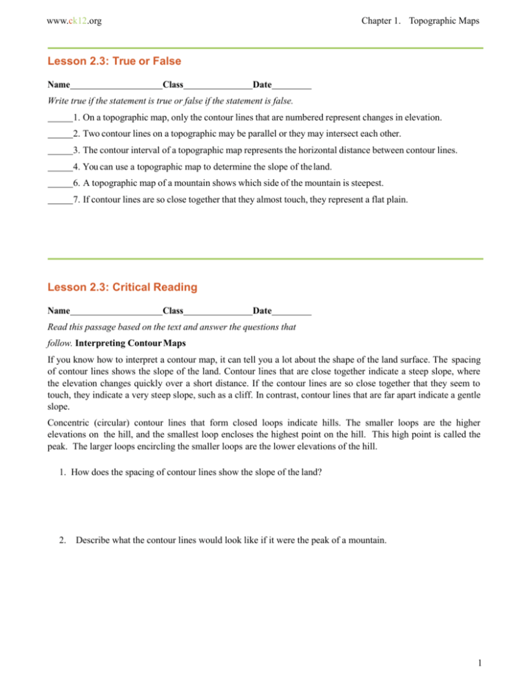
www.ck12.org Chapter 1. Topographic Maps Lesson 2.3: True or False Name Class Date Write true if the statement is true or false if the statement is false. 1. On a topographic map, only the contour lines that are numbered represent changes in elevation. 2. Two contour lines on a topographic may be parallel or they may intersect each other. 3. The contour interval of a topographic map represents the horizontal distance between contour lines. 4. You can use a topographic map to determine the slope of the land. 6. A topographic map of a mountain shows which side of the mountain is steepest. 7. If contour lines are so close together that they almost touch, they represent a flat plain. Lesson 2.3: Critical Reading Name Class Date Read this passage based on the text and answer the questions that follow. Interpreting Contour Maps If you know how to interpret a contour map, it can tell you a lot about the shape of the land surface. The spacing of contour lines shows the slope of the land. Contour lines that are close together indicate a steep slope, where the elevation changes quickly over a short distance. If the contour lines are so close together that they seem to touch, they indicate a very steep slope, such as a cliff. In contrast, contour lines that are far apart indicate a gentle slope. Concentric (circular) contour lines that form closed loops indicate hills. The smaller loops are the higher elevations on the hill, and the smallest loop encloses the highest point on the hill. This high point is called the peak. The larger loops encircling the smaller loops are the lower elevations of the hill. 1. How does the spacing of contour lines show the slope of the land? 2. Describe what the contour lines would look like if it were the peak of a mountain. 1 www.ck12.org Lesson 2.3: Multiple Choice Name Class Date Circle the letter of the correct choice. 1. What is the contour interval on this metric topographic map? a. b. c. d. 2 100 meters 50 meters 20 meters 10 meters www.ck12.org Use the following topographic map to answer questions 1–5 Chapter 1. Topographic Maps 1. What surface feature is represented by the circular contour lines on the map? (a) (b) (c) (d) hill lake valley depression 2. Which side of the topographic map has the gentlest slope? (a) (b) (c) (d) north south west east 3. Which side of the topographic map has the steepest slope? (e) (f) (g) (h) north south west east 4. If the map’s contour interval is 20 meters, what is the elevation of point X? (a) (b) (c) (d) 120 meters 180 meters 220 meters 280 meters 3 www.ck12.org 5. What feature does this topographic map show? (a) (b) (c) (d) pond swamp depression mountain peak Match each definition with the correct term. Definitions 1. difference in elevation between contour lines on a topographic map 2. map that shows elevations of features on Earth’s surface 3. feature on a topographic map represented by concentric (circular) contour lines without hatch marks 4. line connecting points with the same elevation on a topographic map 5. area on a topographic map where the elevation is equal to 0. Terms a. contour interval b. topographic map c. contour line d. sea level e. hill or mountain 4 www.ck12.org Chapter 1. Topographic Maps 5


