marine science tools – remote sensing and satellite imagery
advertisement
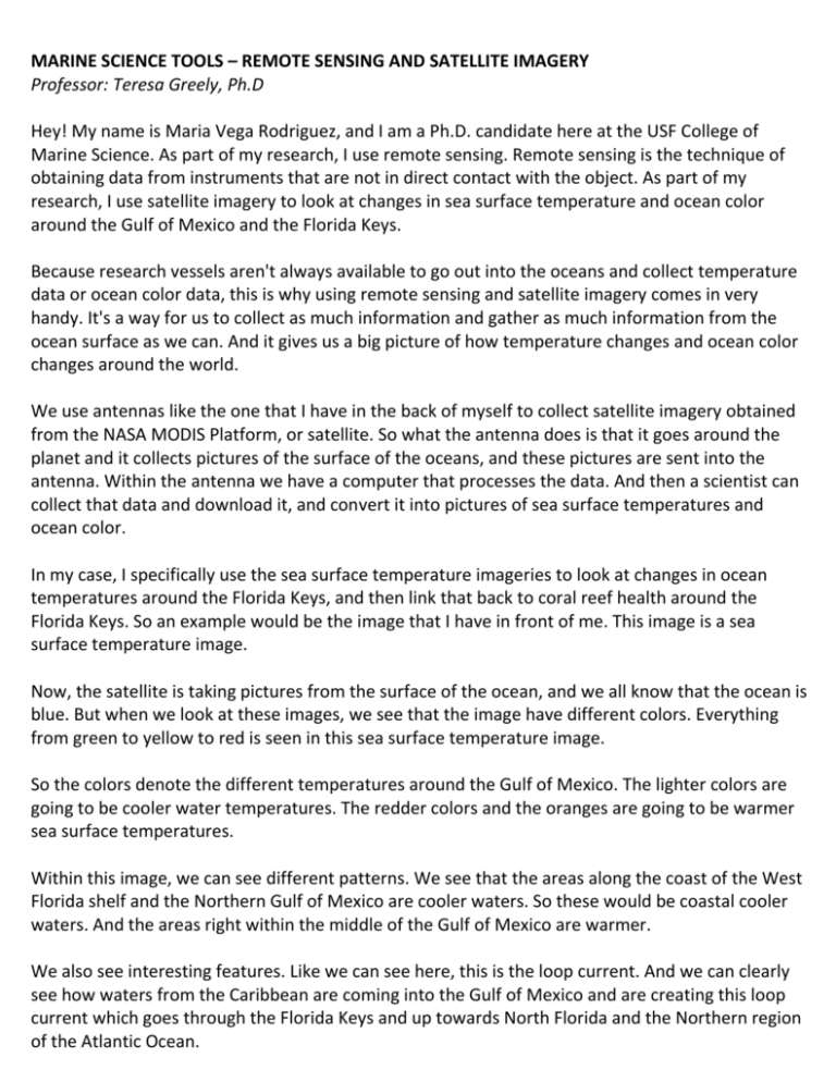
MARINE SCIENCE TOOLS – REMOTE SENSING AND SATELLITE IMAGERY Professor: Teresa Greely, Ph.D Hey! My name is Maria Vega Rodriguez, and I am a Ph.D. candidate here at the USF College of Marine Science. As part of my research, I use remote sensing. Remote sensing is the technique of obtaining data from instruments that are not in direct contact with the object. As part of my research, I use satellite imagery to look at changes in sea surface temperature and ocean color around the Gulf of Mexico and the Florida Keys. Because research vessels aren't always available to go out into the oceans and collect temperature data or ocean color data, this is why using remote sensing and satellite imagery comes in very handy. It's a way for us to collect as much information and gather as much information from the ocean surface as we can. And it gives us a big picture of how temperature changes and ocean color changes around the world. We use antennas like the one that I have in the back of myself to collect satellite imagery obtained from the NASA MODIS Platform, or satellite. So what the antenna does is that it goes around the planet and it collects pictures of the surface of the oceans, and these pictures are sent into the antenna. Within the antenna we have a computer that processes the data. And then a scientist can collect that data and download it, and convert it into pictures of sea surface temperatures and ocean color. In my case, I specifically use the sea surface temperature imageries to look at changes in ocean temperatures around the Florida Keys, and then link that back to coral reef health around the Florida Keys. So an example would be the image that I have in front of me. This image is a sea surface temperature image. Now, the satellite is taking pictures from the surface of the ocean, and we all know that the ocean is blue. But when we look at these images, we see that the image have different colors. Everything from green to yellow to red is seen in this sea surface temperature image. So the colors denote the different temperatures around the Gulf of Mexico. The lighter colors are going to be cooler water temperatures. The redder colors and the oranges are going to be warmer sea surface temperatures. Within this image, we can see different patterns. We see that the areas along the coast of the West Florida shelf and the Northern Gulf of Mexico are cooler waters. So these would be coastal cooler waters. And the areas right within the middle of the Gulf of Mexico are warmer. We also see interesting features. Like we can see here, this is the loop current. And we can clearly see how waters from the Caribbean are coming into the Gulf of Mexico and are creating this loop current which goes through the Florida Keys and up towards North Florida and the Northern region of the Atlantic Ocean. Why is this important? This is important for me because corals are animals that are very temperature sensitive. And so they live in a very narrow range of temperature values. So let's say anything between 18 degrees and 28 degrees is an ideal set for corals to be able to grow. Now, if temperatures go under 18 degrees for a long time, or over 29 degrees for a long time, they start to get stressed. This can cause coral disease and eventually coral mortality, which is a huge deal because we know that corals and coral reefs provide the essential habitat for many different reef organisms. And so satellite imagery, in this case looking at sea surface temperature patterns along the Florida Keys, really does help me pinpoint years that were warmer than usual or cooler than usual. And also, it helps me pinpoint the patterns along the Florida Keys-- what areas are warmer, what areas are cooler-- and tie that back to coral reef health and coral reef decline. We all love corals. Coral reefs are amazing, beautiful places. Not only are they habitats-- so they create habitats for many organisms-- but we really much enjoy going there and diving and just looking at the reefs for recreational purposes. So the sustainability of the reefs is something that we should all care for as human beings in this region and on this planet.
