1. Disaster Information (Data source: Ministry of the Interior)
advertisement
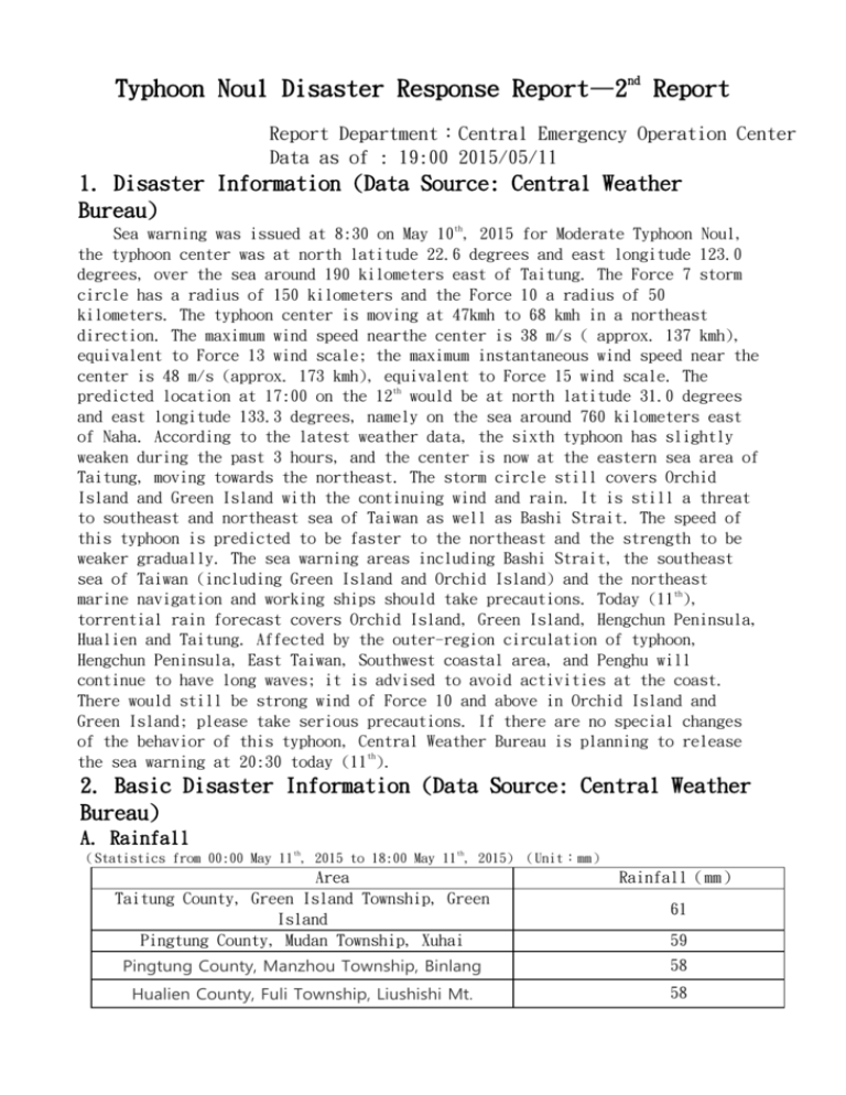
Typhoon Noul Disaster Response Report—2nd Report Report Department:Central Emergency Operation Center Data as of : 19:00 2015/05/11 1. Disaster Information (Data Source: Central Weather Bureau) Sea warning was issued at 8:30 on May 10th, 2015 for Moderate Typhoon Noul, the typhoon center was at north latitude 22.6 degrees and east longitude 123.0 degrees, over the sea around 190 kilometers east of Taitung. The Force 7 storm circle has a radius of 150 kilometers and the Force 10 a radius of 50 kilometers. The typhoon center is moving at 47kmh to 68 kmh in a northeast direction. The maximum wind speed nearthe center is 38 m/s ( approx. 137 kmh), equivalent to Force 13 wind scale; the maximum instantaneous wind speed near the center is 48 m/s (approx. 173 kmh), equivalent to Force 15 wind scale. The predicted location at 17:00 on the 12th would be at north latitude 31.0 degrees and east longitude 133.3 degrees, namely on the sea around 760 kilometers east of Naha. According to the latest weather data, the sixth typhoon has slightly weaken during the past 3 hours, and the center is now at the eastern sea area of Taitung, moving towards the northeast. The storm circle still covers Orchid Island and Green Island with the continuing wind and rain. It is still a threat to southeast and northeast sea of Taiwan as well as Bashi Strait. The speed of this typhoon is predicted to be faster to the northeast and the strength to be weaker gradually. The sea warning areas including Bashi Strait, the southeast sea of Taiwan (including Green Island and Orchid Island) and the northeast marine navigation and working ships should take precautions. Today (11th), torrential rain forecast covers Orchid Island, Green Island, Hengchun Peninsula, Hualien and Taitung. Affected by the outer-region circulation of typhoon, Hengchun Peninsula, East Taiwan, Southwest coastal area, and Penghu will continue to have long waves; it is advised to avoid activities at the coast. There would still be strong wind of Force 10 and above in Orchid Island and Green Island; please take serious precautions. If there are no special changes of the behavior of this typhoon, Central Weather Bureau is planning to release the sea warning at 20:30 today (11th). 2. Basic Disaster Information (Data Source: Central Weather Bureau) A. Rainfall th th (Statistics from 00:00 May 11 , 2015 to 18:00 May 11 , 2015) (Unit:mm) Area Taitung County, Green Island Township, Green Island Pingtung County, Mudan Township, Xuhai Rainfall(mm) Pingtung County, Manzhou Township, Binlang 58 Hualien County, Fuli Township, Liushishi Mt. 58 61 59 Pingtung County, Mudan Township, javavaud Mt. 56 3. Disaster Response A. Number of city-county emergency operation centers established (Data sorce National Fire Agency, Ministry of the Interior) Category Number of EOC Established County/City 1 Port 2 Location Tier 2: Yilan County Tier 2: Port Taichung, Port Hualien B. Mountain Activities Communication (Data Source: National Police Agency, Ministry of Interior) In the Mountain, connected In the Secure Applied Persuaded Had come Mountain, Sheltered mountain area Coming Down unconnected down in place accommodation Case People Case People Case People Case People Case People Case People Case People 73 504 48 269 25 235 0 0 0 0 0 0 0 0 (Note: Unconnected means that the mountain goers haven’t contacted the stay behind staff, families or the police for more than 48 hours. This chart was aggregated by National Police Agency, Ministry of the Interior and filled upon statistics by Construction and Planning Agency, Ministry of the Interior .) 3. Accommodation of Chinese Fishermen (Data Source: Council of Agriculture, Executive Yuan Time 2015/05/11 18:00 Number of Number of accommodated people accommodated people on board in land 1024 203 Total 1227 4. Military Accommodating Capacity Ninety-one residential camps are available and the capacity is 10946 people. Residential Accommodating Camp Plan of National Military Troops 3rd Combat Area 5th Combat Area 4th Combat Area 2nd Combat Area Area (Northern) (Central) (Southern) (Eastern) Number of camps 28 35 20 8 Subtotal 91 處 Second Emergency 2424 People 2156 People 5096 People 1270 People Response Force Subtotal 10946 People 5. Disaster Statistics A. Death and Injury (Data Source: National Fire Agency, Ministry of the Interior) No deaths or injuries B. Lifelines Damage (Data Source: Ministry of Economic Affairs, National Communication Commission) No Damage 1. Disaster Information (Data source: Ministry of the Interior) The sea warning of Strong Typhoon Noul was issued at 8:30 May 10th, 2015. At 17:00 on May 10th, the center of typhoon was at north latitude 18.3 degrees and east longitude 122.5 degrees, over the sea around 430 kilometers SSE of Cape Eluanbi. The Force 7 storm circle has a radius of 200 kilometers and the Force 10 storm circle a radius of 80 kilometers. The typhoon center is moving at 17kmh to 20kmh in a North direction turning towards NNE. The maximum wind speed near the center is 51m/s (approx. 184kmh), equivalent to Force 16 wind scale; the maximum instantaneous wind speed near the center is 63m/s (approx. 227kmh), equivalent to above Force 17 wind scale. The predicted location at 17:00 on May 11th would be at north latitude 22.0 degrees and east longitude 123.3 degrees, over the sea around 250 kilometers East of Cape Eluanbi. According to the latest data, the center of the typhoon is at the NNE sea area of Cape Eluanbi, and it is moving towards North and turning to NNE. The storm circle is entering Bashi Strait, posing a treat to Bashi Strait, the southeast and the northeast sea of Taiwan. Due to the effect of terrain, the strength of the typhoon is predicted to be weaker. The sea warning areas including Bashi Strait, the southeast sea of Taiwan (including Green Island and Orchid Island) and the northeast marine navigation and working ships should take precautions. Today (10th), torrential rain forecast covers mountains of Northern, Eastern and Southern areas. As the effect of outer-region circulation of typhoon, there has been long waves at the coasts of Green Island, Orchid Island, Hengchun Peninsula, eastern and southwest Taiwan, along with stronger gust. It is advised to be aware when having seashore activities. 2. Basic Disaster Information (Data Source: Central Weather Bureau) A. Cumulative Rainfall th th (Statistics from 10:00 May 10 , 2015 to 18:00 May 10 , 2015) (Unit: mm) Area Nantou County, Puli Township, Lingxiao New Taipei City, Ruifang Dist, Cape Bitou Yilan County, Datong Township, Yulan Rainfall (mm) 54 33 26 3. Disaster Response A. Number of city-county emergency operation centers established (Data sorce: National Fire Agency, Ministry of the Interior) Category County/City Port Number of EOC Established 0 0 Location Tier 2:Port Hualien B. Accommodation of Chinese Fishermen (Data Source: Council of Agriculture, Executive Yuan) Time 2015/05/10 17:30 Number of accommodated people on board 1042 Number of accommodated people in land 202 Total4 1244 4. Military Accommodating Capacity Ninety-one residential camps are available and the capacity is 10946 people. Residential Accommodating Camp Plan of National Military Troops 3rd Combat Area 5th Combat Area 4th Combat Area 2nd Combat Area Area (Northern) (Central) (Southern) (Eastern) Number of Camps 28 35 20 8 Subtotal 91 Locations Second Emergency 2424 People 2156 People 5096 People 1270 People Response Force Subtotal 10946 People 5. Disaster Statistics A. Death and Injury (Data Source: National Fire Agency, Ministry of the Interior) No deaths or injuries B. Lifelines Damage (Data Source: Ministry of Economic Affairs, National Communication Commission) No Damage C. Airline Transportation Cancellation (Data Source: Ministry of Transportation and Communications) Date and Time Airlines Service Suspension or Cancellation 2015/05/10 18:04 De-An Airlines Orchid Island – Taitung (4) Cancelled Reason (Airport, Weather, Service Shift) Note Cancelled Weather (Typhoon) 6. Military Support of County-City Emergency Operation Emergency Rescue Crew (Data Source: Ministry of National Defense) There are 3200 members in First Emergency Response Force, ready in 10 minutes upon assigned. There are 4800 members in Second Emergency Response Force, ready in 3 hours upon assigned. There are 8000 members in total. Areas First Emergency Response Force Location Emergency Rescue Plan of National Military Troops 3rd Combat Area 5th Combat Area 4th Combat Area (Northern) (Central) (Southern) 800 People 800 People 800 People 2nd Combat Area (Eastern) 800 People Subtotal Second Emergency Response Force Location Subtotal 3200 People 1200 People 1200 People 1200 People 4800 People 1200 People
