Regions Practice
advertisement

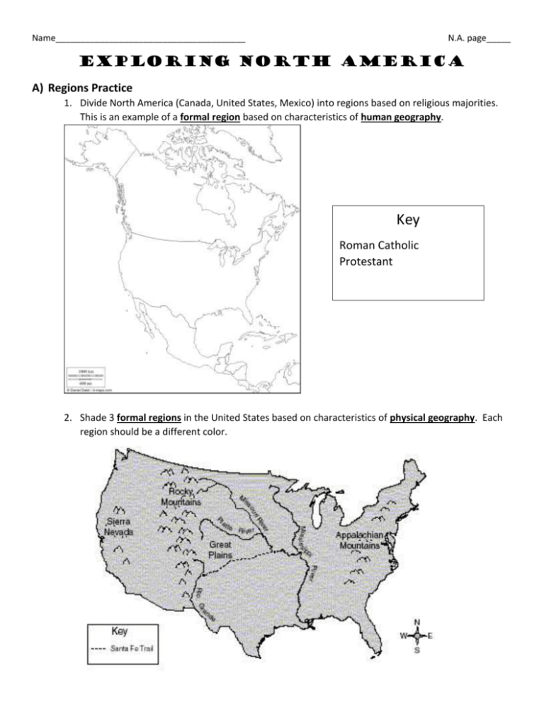
Name_______________________________________ N.A. page_____ Exploring North America A) Regions Practice 1. Divide North America (Canada, United States, Mexico) into regions based on religious majorities. This is an example of a formal region based on characteristics of human geography. Key Roman Catholic Protestant 2. Shade 3 formal regions in the United States based on characteristics of physical geography. Each region should be a different color. B) Map Elements Practice Directions: Use p. S27-28 to create a political map of the United States. (1) Label all 50 states (in ink!) (2) Color like a political map. No bordering states can be the same color. (3) Create an index for the smaller Eastern states. (4) Make latitude and longitude lines and label degrees using pencil. (5) Be sure to include all TODALSIGS and follow your “How to Make an A on a Map Guidelines.” C) Latitude and Longitude Practice Directions: Use the image to answer the following questions. 1. Color a line of latitude green. 2. Color a line of longitude blue. 3. Name three states that extend below latitude 30 degrees N (in the contiguous US), and label them on the map. 4. Name one US state that is mostly east of longitude 70 degrees W, and label it on the map. 5. Name three US states (shown on this map) that extend west of longitude 120 degrees W, and label them on the map. 6. Is the location 45 degrees N latitude, 82 degrees W longitude on land or under water? On the map, mark it with a red X. 7. Name the state that is located entirely between 40-45 degrees N latitude and between 90-100 degrees W longitude, and label it on the map. 8. Mark your approximate location with a black dot. Estimate your latitude and longitude coordinates. Directions: Use the latitude and longitude clues below and p. S30 in your textbook to complete the puzzle. Across 3. 62N,149W 5. 35N,90W 7. 30N,90W 9. 19N,99W Down 1. 50N,95W 2. 31N,82W 4. 40N,113W 6. 52N,114W 7. 36N,76W 8. 22N,89W


