Code Template - Sediment and Erosion Control
advertisement
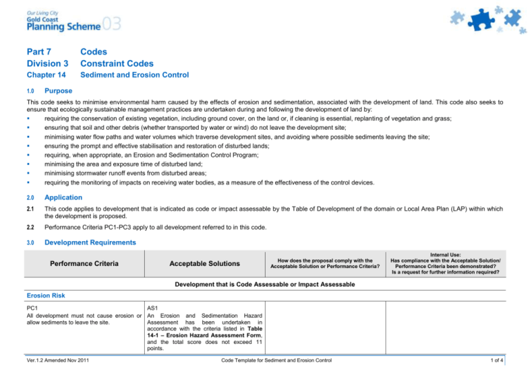
Part 7 Division 3 Codes Constraint Codes Chapter 14 Sediment and Erosion Control 1.0 Purpose This code seeks to minimise environmental harm caused by the effects of erosion and sedimentation, associated with the development of land. This code also seeks to ensure that ecologically sustainable management practices are undertaken during and following the development of land by: requiring the conservation of existing vegetation, including ground cover, on the land or, if cleaning is essential, replanting of vegetation and grass; ensuring that soil and other debris (whether transported by water or wind) do not leave the development site; minimising water flow paths and water volumes which traverse development sites, and avoiding where possible sediments leaving the site; ensuring the prompt and effective stabilisation and restoration of disturbed lands; requiring, when appropriate, an Erosion and Sedimentation Control Program; minimising the area and exposure time of disturbed land; minimising stormwater runoff events from disturbed areas; requiring the monitoring of impacts on receiving water bodies, as a measure of the effectiveness of the control devices. 2.0 Application 2.1 This code applies to development that is indicated as code or impact assessable by the Table of Development of the domain or Local Area Plan (LAP) within which the development is proposed. 2.2 Performance Criteria PC1-PC3 apply to all development referred to in this code. 3.0 Development Requirements Performance Criteria Acceptable Solutions How does the proposal comply with the Acceptable Solution or Performance Criteria? Internal Use: Has compliance with the Acceptable Solution/ Performance Criteria been demonstrated? Is a request for further information required? Development that is Code Assessable or Impact Assessable Erosion Risk PC1 AS1 All development must not cause erosion or An Erosion and Sedimentation Hazard allow sediments to leave the site. Assessment has been undertaken in accordance with the criteria listed in Table 14-1 – Erosion Hazard Assessment Form, and the total score does not exceed 11 points. Ver.1.2 Amended Nov 2011 Code Template for Sediment and Erosion Control 1 of 4 Performance Criteria Acceptable Solutions How does the proposal comply with the Acceptable Solution or Performance Criteria? Internal Use: Has compliance with the Acceptable Solution/ Performance Criteria been demonstrated? Is a request for further information required? Erosion Control PC2 AS2 All development must not cause erosion or An Erosion and Sedimentation Control allow sediments to leave the site. Program has been prepared by a competent person, in accordance with Soil Erosion and Sediment Control Engineering Guidelines for Queensland Construction Sites, and demonstrates that: a) the environmental effects of sedimentation and erosion are controlled by best practice management measures; b) sediments resulting from the development are contained within the site; and c) development adjacent to the bank or the bed of a stream or watercourse, addresses environmental impact on waterbodies. Upslope Runoff PC3 AS3.1.1 All up-slope runoff must be diverted around Catch drains are utilised to divert the areas to be disturbed. upstream runoff to a legal point of discharge. OR AS3.1.2 Alternative methods are used to divert upstream water from exposed or disturbed land. Table 14-1 – Erosion Hazard Assessment Form Controlling Factors Points Score Checking Average slope of the whole site, prior to building works: Slope < 3% 3% Slope < 5% 5% Slope < 10% 10% Slope < 15% Ver.1.2 Amended Nov 2011 0 1 2 4 Code Template for Sediment and Erosion Control 2 of 4 Controlling Factors Points Score Checking 5 Slope is greater than 15% Soil type1: Sandy soil/gravel Sandy loam Clay loam Clay soil 0 1 2 2 Anticipated duration of site disturbance2 3: Duration < 2 weeks 2 weeks Duration < 3 months 3 months Duration < 6 months Duration > 6 months 0 2 4 5 Month that works are undertaken: August, September April, May, June, July, November, October March, December January, February 0 1 2 3 Offsite sediment control (ie. down slope of the soil disturbance): Score 1 point if there is no purpose built, operational and well maintained sediment trap (eg. sediment basin, gross pollutant trap or purpose built wetland) to catch sediment before it enters a waterbody with environmental values (eg. creek, natural wetland, river or bay)4. 1 Runoff entering the site: Score 1 point if stormwater runoff entering the site is not diverted away from the soil disturbance. 1 Extent of site disturbance: Score 2 points if building work requires reshaping of the ground surface (eg. ‘cut and fill’ works) 5; Score 5 points if the area to be disturbed is greater than 600m²; 2 5 Works within environmentally sensitive areas: Score 11 points if the disturbance is within the banks of a watercourse8; Score 5 points if the disturbance is within 50 metres of the top of bank of a watercourse; Score 2 points if the disturbance is between 50 and 100 metres of the top of bank of a watercourse. 11 5 2 Total Score6 7 Notes: Ver.1.2 Amended Nov 2011 Code Template for Sediment and Erosion Control 3 of 4 1. Where there is more than one type of soil on the site, select the category with the highest point value; 2. The time from when the building site will first become vulnerable to erosion to the time the soil will be fully stabilised (eg. grassing); 3. If this time span covers more than one category, select the category with the highest point value. Note that if there is no grass/vegetation cover on the site before building work has started, the time span starts from the time this form is completed; 4. If you are not sure, score 1 point; 5. For the purpose of this form, ‘cut and fill’ works are those that will result in a steep batter or retaining wall above and/or below the building slab, greater than 1 metre in height. If the building slab has already been fully cut and stabilised (eg. grassed) during the subdivision stage, score 0 points; 6. For a high risk site, the total score is critical score; 7. For a low risk site, the total score is < critical score; 8. Watercourse means any clearly identifiable creek, stream or river, whether flowing permanently or intermittently. Ver.1.2 Amended Nov 2011 Code Template for Sediment and Erosion Control 4 of 4

