chapter01
advertisement
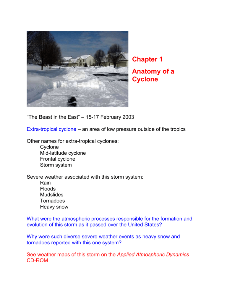
Chapter 1 Anatomy of a Cyclone “The Beast in the East” – 15-17 February 2003 Extra-tropical cyclone – an area of low pressure outside of the tropics Other names for extra-tropical cyclones: Cyclone Mid-latitude cyclone Frontal cyclone Storm system Severe weather associated with this storm system: Rain Floods Mudslides Tornadoes Heavy snow What were the atmospheric processes responsible for the formation and evolution of this storm as it passed over the United States? Why were such diverse severe weather events as heavy snow and tornadoes reported with this one system? See weather maps of this storm on the Applied Atmospheric Dynamics CD-ROM Describing the Atmosphere Troposphere – lowest layer of the atmosphere, where temperature normally decreases with increasing altitude SI (Système Internationale) Units Length: meter (m) Mass: kilogram (kg) Time: second (s) Temperature: Kelvin (K) (see Appendix 2 for additional derived SI units) Atmospheric Temperature Atmospheric Pressure Horizontal and vertical variations in pressure give rise to atmospheric motions (which are the focus of ATOC 4720). What is atmospheric pressure? A molecular perspective… SI Units for pressure Pressure is a force per unit area: From Newton’s second law: F=ma Force has units of kg m s-2 (or Netwons – N) Force per unit area has units of: kg m-1 s-2 = N m-2 (or Pascals – Pa) Other commonly used units of pressure: 1 hPa = 100 Pa 1 millibar (mb) = 1 hPa In the atmosphere the observed pressure is also equal to the weight of air above the observation point. Therefore, pressure decreases with increasing altitude in the atmosphere. Surface pressure – the actual air pressure measured at the surface of the earth Mean sea-level pressure (MSLP) – surface pressure interpolated to zero elevation (sea level) Why do meteorologists use MSLP instead of surface pressure? Isobar – contour line of constant pressure Station Reports What are the typical weather observations made at surface weather stations around the world? Dew point temperature – the temperature to which a small volume of air must be cooled at constant pressure in order for that air parcel to become saturated Dew point temperature indicates the amount of moisture contained in the air. What units are used for temperature and dew point temperature reported on station models? Significant weather Cloud cover Wind direction – the direction the wind is coming from Wind speed Units for wind speed SI: m s-1 Meteorological convention: Knots (kts) 1 kt = 0.51 m s-1 Station model wind speed plotting convention: - Wind speed symbols shown in Figure 1.4 are additive - Actual wind speed is within 2 kts of plotted wind speed Sea level pressure Decoding sea level pressure reported on station models If coded SLP is greater than 500: Put a 9 in front of the 3 digit coded SLP Insert a decimal point between the last two digits Add units of mb Example: coded SLP = 956 Decoded SLP = 995.6 mb If coded SLP is less than 500: Put a 10 in front of the 3 digit coded SLP Insert a decimal point between the last two digits Add units of mb Example: coded SLP = 052 Decoded SLP = 1005.2 mb The normal range of sea level pressure is 950 to 1050 mb. Record high sea level pressure: 1086 mb (Tosontsengel, Mongolia) Record low sea level pressure: 870 mb (Typhoon Tip, western Pacific) Time and weather observations UTC – Universal time coordinate GMT – Greenwich Mean Time Z – Zulu time Quick facts about Universal Time Coordinate (UTC) UTC is based on a 24 hour clock (so add 12 to any times after 12:59PM) 6AM UTC would be written as 06 UTC 12 noon UTC would be written as 12UTC 6PM UTC would be written as 18UTC If UTC time is given as both hours and minutes it looks like this: 2:15AM UTC would be written as 0215 UTC 12:00 noon UTC would be written as 1200 UTC 10:20PM UTC would be written as 2220 UTC UTC never switches from standard time to daylight savings time This means we need to change how we convert between UTC and Mountain time depending on whether we are on standard time or daylight savings time How do I convert from UTC to MST or MDT? MST = UTC - 7 hours MDT = UTC - 6 hours How do I convert from MST or MDT to UTC? UTC = MST + 7 hours UTC = MDT + 6 hours Air Masses and Fronts Air mass – a large volume of the atmosphere with relatively uniform temperature and humidity What conditions favor the formation of air masses? What happens to an air mass when it moves away from its source region? Front – boundary between differing air masses Fronts are defined based on the thermodynamic differences across the front and the direction of movement of the air masses on either side of the front. Surface Weather Maps Upper Level Weather Maps Since pressure always decreases with height, and above any given spot on the earth each height has a unique pressure, we can use pressure as a vertical coordinate. Weather data on upper level weather maps are plotted on constant pressure surfaces rather than constant height surfaces. Pressure surface – an imaginary surface above the ground where the pressure has a constant value One of the key properties meteorologists are interested in when looking at a constant pressure map is the height of the constant pressure surface. The height of a constant pressure surface varies with the temperature of the column of air below the pressure surface. Lower heights correspond to a colder column temperature. Therefore, we expect (and do) find lower constant pressure heights near the poles and higher heights in the tropics. Commonly Used Constant Pressure Maps Pressure Approximate Level Altitude (ft) 850 mb About 5,000 ft 700 mb About 10,000 ft 500 mb About 18,000 ft 300 mb About 30,000 ft 250 mb About 35,000 ft 200 mb About 39,000 ft Approximate Altitude (km) About 1.5 km About 3.0 km About 5.5 km About 9.0 km About 10.5 km About 12.0 km Upper Air Station Model What are the differences between surface and upper air station models? A sample 500 mb upper level weather map Trough – region of low heights on a constant pressure map Ridge – region of high heights on a constant pressure map Shortwave – a small ripple in the height field Longwave – a large ripple in the height field How does the height of the 500 mb surface vary from south to north on this map? What is the relationship between winds and height contours on an upper level constant pressure map? Does this relationship vary between the Northern and Southern hemispheres? What wind direction should we expect to find in the mid-latitudes if lower constant pressure surface heights are found near the poles and higher heights are found in the tropics? Isotherm – contour line of constant temperature Baroclinic – temperature varies on a constant pressure surface Barotropic – temperature is constant on a constant pressure surface The Structure of a Typical Extra-Tropical Cyclone Extra-tropical cyclone characteristics: Size Pressure Winds Polar front – boundary between warm tropical and cold polar air masses Stages in the life cycle of an extra-tropical cyclone What physical process can cause the surface pressure to decrease? Convergence – accumulation of atmospheric mass Divergence – removal of atmospheric mass Divergence associated with the shortwave shown in Figure 1.9a leads to the formation of a low pressure center at the surface of the earth. What is the direction of circulation around this area of low pressure? How does this circulation alter the distribution of temperature? What types of fronts form in response to this circulation? Warm sector – wedge of warm air ahead of an advancing cold front and behind a warm front How does the height of the 500 mb constant pressure surface change in response to the changes in the distribution of temperature near the surface? Mature stage of a mid-latitude cyclone Where are the upper level ridge and trough located relative to the low pressure center at the surface during the mature stage of the cyclone’s life cycle? What determines how much the surface pressure decreases (or increases)? See animation of mature mid-latitude cyclone on class web page. Where are the clouds and precipitation located relative to the fronts in this cyclone? How does the speed of movement of the cold and warm fronts differ? What happens when the cold front catches up to the warm front? Occluded front – a boundary that separates two cold air masses at the surface with warm air aloft How does the position of the upper level trough relative to the surface low pressure center change once the cyclone has occluded? What causes the cyclone to weaken and dissipate? The February 2003 Storm Revisited Mature stage – 00 UTC 15 February 2003 (see weather maps shown above) Occluded stage and the creation of the “Beast in the East” – 00 UTC 17 February 2003 Surface Weather Map 500 mb Weather Map Which low pressure center at the surface is in the most favorable position to intensify at this time?


![[PowerPoint 2007] presentation file](http://s2.studylib.net/store/data/005406460_1-7834316c409f9802f7aec3d8538324fb-300x300.png)

