Investigation of offshore coastal discharge in the Waimakariri zone
advertisement
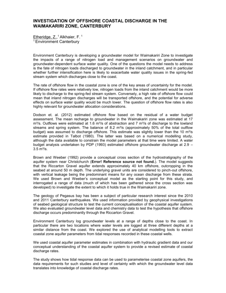
INVESTIGATION OF OFFSHORE COASTAL DISCHARGE IN THE WAIMAKARIRI ZONE, CANTERBURY Etheridge, Z.,1 Alkhaier, F. 1 1 Environment Canterbury Environment Canterbury is developing a groundwater model for Waimakariri Zone to investigate the impacts of a range of nitrogen load and management scenarios on groundwater and groundwater-dependent surface water quality. One of the questions the model needs to address is the fate of nitrogen loads discharged to groundwater in the inland catchment, and in particular whether further intensification here is likely to exacerbate water quality issues in the spring-fed stream system which discharges close to the coast. The rate of offshore flow in the coastal zone is one of the key areas of uncertainty for the model. If offshore flow rates were relatively low, nitrogen loads from the inland catchment would be more likely to discharge to the spring-fed stream system. Conversely, a high rate of offshore flow could mean that inland nitrogen discharges will be transported offshore, and the potential for adverse effects on surface water quality would be much lower. The question of offshore flow rates is also highly relevant for groundwater allocation considerations. Dodson et. al. (2012) estimated offshore flow based on the residual of a water budget assessment. The mean recharge to groundwater in the Waimakariri zone was estimated at 17 m³/s. Outflows were estimated at 1.6 m³/s of abstraction and 7 m³/s of discharge to the lowland streams and spring system. The balance of 8.2 m³/s (approximately 50% of the total outflow budget) was assumed to discharge offshore. This estimate was slightly lower than the 10 m³/s estimate provided in Talbot (1980). The latter was based on a numerical modelling study, although the data available to constrain the model parameters at that time were limited. A water budget analysis undertaken by PDP (1993) estimated offshore groundwater discharge at 2.9 – 3.5 m³/s. Brown and Weeber (1992) provide a conceptual cross section of the hydrostratigraphy of the aquifer system near Christchurch (Error! Reference source not found.). The model suggests that the Riccarton Gravel aquifer extends approximately 40 km offshore, outcropping in the seabed at around 50 m depth. The underlying gravel units are considered to pinch-out offshore, with vertical leakage being the predominant means for any ocean discharge from these strata. We used Brown and Weeber’s conceptual model as the starting point for this study, and interrogated a range of data (much of which has been gathered since the cross section was developed) to investigate the extent to which it holds true in the Waimakariri zone. The geology of Pegasus bay has been a subject of particular research interest since the 2010 and 2011 Canterbury earthquakes. We used information provided by geophysical investigations of seabed geological structure to test the current conceptualisation of the coastal aquifer system. We also evaluated groundwater level data and chemistry data to test the hypothesis that offshore discharge occurs predominantly through the Riccarton Gravel. Environment Canterbury log groundwater levels at a range of depths close to the coast. In particular there are two locations where water levels are logged at three different depths at a similar distance from the coast. We explored the use of analytical modelling tools to extract coastal zone aquifer parameters from tidal responses recorded in these coastal wells. We used coastal aquifer parameter estimates in combination with hydraulic gradient data and our conceptual understanding of the coastal aquifer system to provide a revised estimate of coastal discharge rates. The study shows how tidal response data can be used to parameterise coastal zone aquifers, the data requirements for such studies and level of certainty with which the groundwater level data translates into knowledge of coastal discharge rates. Figure 1 Cross section of Pleistocene stratigraphy beneath northern Canterbury plains near Christchurch (from Brown and Weeber, 1992) References Brown, L J and Weeber, J H 1992: Geology of the Christchurch urban area 1:25 000. Dodson, M., Aitchison-Earl P. and Scott L. 2012: Ashley-Waimakariri groundwater resources investigation; Environment Canterbury Technical Report R12/69, 160 p. PDP (Pattle Delamore Partners). 1993: Waimakariri-Ashley Irrigation Scheme. Report on groundwater study. Prepared for Waimakariri-Ashley Irrigation Committee. Talbot, J.D. 1980: A numerical model of groundwater flow in North Canterbury; Research Report, Department of Civil Engineering, University of Canterbury, Christchurch, New Zealand.


