Direct Differential Leveling
advertisement
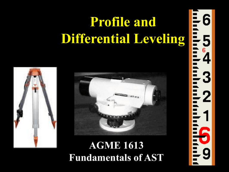
Profile and Differential Leveling AGME 1613 Fundamentals of AST Objectives • Define differential and profile leveling, and explain the purpose(s) and agricultural applications of each. • Identify and correctly set-up and use leveling equipment. • Properly record leveling field notes and perform error checks for differential and profile leveling surveys. • Complete differential and profile leveling surveys. Leveling Definition and Types • A surveying procedure used to determine the elevation of points on the Earth’s surface. – Differential Leveling – Profile Leveling Differential Leveling Purpose is to determine the difference in elevation between two (or more) points on the Earth’s surface. B Difference? A Where is Differential Leveling Used? • Determining field slope (conservation plans, soil loss prediction, etc.). • Laying out and checking drainage ditches, waterways, tile drainage systems, etc. • “Cut-and-fill” requirements for building foundations. • Establish new “benchmarks” that have elevations tied in with existing benchmarks. Profile Leveling Purpose is to describe the elevation at selected points on the Earth’s surface. X X B X X X X A X X X X Where is Profile Leveling Used? • Developing field “contour maps.” • Designing and checking grade for drainage ditches and waterways. • Laying out farm ponds. • Road and highway construction. Leveling Equipment: The Engineer’s Level • Telescope with “crosshairs.” • Base plate – attaches level to tripod. • Leveling screws – allows user to establish a “level line of sight.” • Level bubble – Instrument is level when bubble is inside target. • Focusing knob Leveling Equipment: Tripod and Leveling Rod Reading the Leveling Rod Hundredths (.01) of a foot Tenths (.10) of a foot Feet 1 6 .10 .01 .02 .03 .04 .05 6.00-ft. .06 .07 .08 .09 Reading the Leveling Rod Feet = 6 Tenths = .0 Hundredths = .09 Crosshair Reading = 6.09 ft. Reading the Leveling Rod 3 Direct Differential Leveling “What is the difference in elevation between two points, Where both points can be “shot” from the same location?” 6.45 B A Direct Differential Leveling 3.21 B A Direct Differential Leveling • Difference in Elevation – Rod reading at A = 6.45 – Rod reading at B = - 3.21 Difference in elevation = 3.24-ft Which point is higher, A or B? B A Leveling Terms • • • • • • Station (STA) Benchmark (BM) Backsight (BS) Height of Instrument (HI) Foresight (FS) Elevation (ELEV) Leveling Terms • Station (STA) – Point where the rod is placed for a reading – Stations typically use a “distancenumbering” identification system: • STA 0 + 00 = 0 hundred feet + 0 feet • STA 2 +75 = two hundred feet + 75 feet • STA 5 + 05 =????????? Leveling Terms • Backsight – A rod reading taken on a point of known elevation: • BM • TBM • Turning Point (TP) Leveling Terms • Benchmark (BM) – A point of known elevation used as a reference point in a leveling survey. – A BM has a precisely known elevation above “mean sea level.” – Established by a variety of government agencies. • Temporary Benchmark (TBM) – Point of “assumed” elevation. Commonly used in “onfarm,” local surveys. Leveling Terms • Height of Instrument (HI) – Height (elevation) of the level’s line of sight. • HI = BS + Known Elevation Determining HI HI = 100.00 ft + 4.35 ft = 104.35 ft 4.35 HI = Elev + BS BM-1 Elev = 100.00 ft. Leveling Terms • Foresight (FS) – Rod reading taken on a point of unknown elevation • HI – FS = Elev Determining Elevation HI = 104.35 ft 6.35 Elev = HI - FS Elev = 104.35 ft. – 6.35 ft. = 98.00 ft. Leveling Terms • Elevation (ELEV) – Vertical distance above “mean sea level” of a point on the earth’s surface. – Depending on purpose of survey, may be determined to nearest: .1 –ft .01 – ft. .001 –ft. Differential Leveling Field Notes STA BS HI FS ELEV Dist. Differential Leveling 3.21 TBM-1 BM-1 Elev = 1225.50 ft. Differential Leveling 3.01 TBM-1 BM-1 TP-1 Differential Leveling 6.04 TBM-1 BM-1 TP-1 Differential Leveling 0.28 TBM-1 BM-1 Differential Leveling 6.45 TBM-1 BM-1 Differential Leveling 10.98 TBM-1 BM-1 TP-2 Differential Leveling 3.95 TBM-1 BM-1 TP-2 Differential Leveling 5.36 TBM-1 BM-1 TP-2 Error of Closure • Difference in the “beginning” and “ending” elevation of a known point. • All surveys will have error. • The question is, “How much error can we tolerate in our survey?” Error Check • Mathematical Error Check Error of closure = |SBS - SFS| • Allowable Error Check – Depends on purpose of the survey – Maximum feet of error based on distance AE = 0.10 √ M Profile Leveling Field Notes STA BS HI FS ELEV Simulated Profile Survey 5 4 3 TBM-A (Elev = 100.00) 2 3 1 STA. 0+00 5 9 STA. 1+00 4 6 3 STA. 1+35 2 3 2 STA. 2+00 9 7 8 STA. 2+00 0 4 3 STA. 2+75 0 2 1 STA. 2+95 1 2 STA. 2+95 12 9 8
