Aquarius Ocean Salinity Open Discussion
advertisement
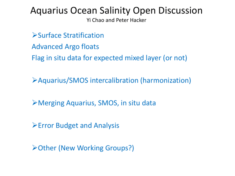
Aquarius Ocean Salinity Open Discussion Yi Chao and Peter Hacker Surface Stratification Advanced Argo floats Flag in situ data for expected mixed layer (or not) Aquarius/SMOS intercalibration (harmonization) Merging Aquarius, SMOS, in situ data Error Budget and Analysis Other (New Working Groups?) Aquarius Ocean Salinity Open Discussion Surface Stratification (perhaps 2 groups) Engineering: How to use in situ data to infer skin to validate Aq data? Advanced Argo floats; Flag in situ data for expected mixed layer (or not); Previous work: Henock? (Fred); Melnichenko; Establish mixed layer condition, for validation; Each Argo float surfacing, atmospheric conditions; New technology is emerging, STS float, drifters, wave gliders; Key regions: validation mask, calibration sites like Harvest, clustered Argo floats, moorings. Science: How to use Aquarius data to infer bulk SSS for oceanographic studies? Skin vs bulk SSS, GHRSST as a possible example. Diurnal cycles, physics of upper layer, fresh-pool processes. Aquarius Ocean Salinity Open Discussion Aquarius/SMOS intercalibration (harmonization) Identify issues common to both; Joint workshop; Aquarius can help SMOS; SMOS can also help Aquarius; Compare Aquarius and SMOS; (ascending/descending), together/against in situ data (to eliminate bad data). Aquarius Ocean Salinity Open Discussion Merging Aq, SMOS, in situ data • Merging to create L4 data • NOAA NESDIS STAR group (through Eric Bayler), will use the GHRSST infrastructure to compare the various L4 data products • Assimilation, will use L2 data, beam 3 data for example has a bias, how to provide error information for the data assimilation? • Other data are available (NODC, STAR) • The community should use all available in situ observations, TSGs for example are not well used, better organize the various observational data sets. Aquarius Ocean Salinity Open Discussion Error Budget and Analysis and need to quantify errors. Measurement system errors; Geophysical errors; Mapping errors, L3 and L4 (focus for the future); PODAAC/GHRSST error considerations and DMAC issues. Other (New Working Groups?) Two now active: sss cal/val, mwr cal/val. Need new focused working groups (sub-groups) to address: Ascending vs descending bias, 3 beam biases, intercalibration/harmonization. Galaxy correction issues. SPURS, joint US and Europe (is this science and applications focus??). Aquarius Ocean Salinity Open Discussion Science and Applications: Thematic areas for special focusCoastal: funded collaboration; engineering and science; Coastal/shelf; boundary conditions for modeling; errors. Ocean as a rain gauge, fresh water budget Clearly defined scientific problems, trying to focus/work on these topics, Amazon outflow, Bay of Bengal, etc. • Coastal salinity, – There is a funded project on the US side, south China Sea. – Argentina, Reul on the Argentina side – Important problem, both engineering and science, need a validation data set, better land correction, possibly a working group to be formed to further explore like, similar as the coastal altimetry – Two aspects, • coastal/shelf study, • Use AQ data as boundary conditions to improve coastal understaindg – Error budget Reference Materials and Notes Probability, P (%), of appearance of a complex vertical structure of salinity in the near-surface ocean layer. The areas of high probability indicate the areas where the Aquarius mission is expected to add fundamentally new information for climate and ocean research. Alternatively, the areas of low probability indicate the areas, which are most suitable for the Aquarius calibration and validation. The maps are smoothed for better visualization. Bins with less than 70 profiles are blanked. • Gary: – Engineering: How to use in situ data to infer skin to validate Aq data? – Science: How to use Aquarius data to infer bulk SSS for oceanographic studies? • Validation mask idea, identify few key regions, where the validation should take place? Coordination with SMOS, similar as super-site for TOPEX/Poseidon validation, US Harvest platform, France Med site. • On the ship, very accurate salinity measurements • Argo floats, heavily clustered area, • OOI deep ocean moorings, should look into their data • • Skin vs bulk SSS, GHRSST as a possible example, • Henock? (Fred) • mixed layer condition, for validation • Each Argo float surfacing, atmospheric conditions • Ocean as a rain gauge, ocean is important, how Aquarius can help to close the freshwater budget? • New technology is emerging, STS float, drifters, wave gliders, • ESR AVDS, in situ data collection for AQ, more data can and should be considered, possible help from NODC and STAR • PODAAC, GHRSST, each sensor has errors and bias on each location, with the same format, known as L2P data, enable for merging data from multiple sensors • Working groups, formed at the 2009 meeting, not much activities, cal/val working group in the only active group, MWR is another group, think about what new working group is needed • Tall poles not being addressed by the current cal/val working groups, need new working groups to the address the following: – Ascending vs descending bias – 3 beams intercalibration • Are these calibration performance issue or geophysical (where does it come from)? Aquarius/SMOS • • • • Joint workshop Aquarius can help SMOS SMOS can also help Aquarius Compare Aquarius and SMOS (ascending/descending), together against in situ data (to eliminate bad data) Working groups • SPURS, joint US and Europe, • Surface stratification working group? Research and Applications • The community should use all available in situ observations, TSGs for example are not well used, better organize the various observational data sets • Clearly defined scientific problems, trying to focus/work on these topics, Amazon outflow, bay of Bengal, etc. Error budget and Analysis • Systematic error, Geophysical error, (Mapping error at a later stage) • Currently, the cal/val working group meets every week, providing these error estimates
