Applications to Architectural and Landscape Heritage Preservation
advertisement
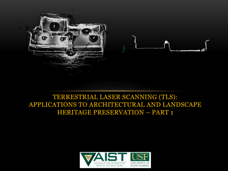
TERRESTRIAL LASER SCANNING (TLS): APPLICATIONS TO ARCHITECTURAL AND LANDSCAPE HERITAGE PRESERVATION – PART 1 WHAT IS TLS? • TLS is an integrated suite of three-dimensional spatial technologies that have significant applications to the preservation of cultural heritage across multiple scales. TLS USES: H3D is an innovative and versatile set of tools for archaeological research. It can be brought to an archaeological investigation to assist in the development of highly accurate models of the site and the surrounding landscape. It can be used to augment prior work and to create accurate maps and models and to conduct spatial analysis. These methods can help to eliminate subjective decisions. SCALE OF ANALYSIS SHORT RANGE Kaminaljuyú Stela 10 MID RANGE LONG RANGE MORE ON H3D: • Laser scanning is a non-contact, non-destructive, and non-invasive method to acquire extremely accurate high resolution data that can be used to analyze, model, and monitor architectural structures and their supporting physical elements. • Terrestrial Laser Scanning is a primary component of an H3D approach ALLIANCE FOR INTEGRATED SPATIAL TECHNOLOGIES, UNIVERSITY OF SOUT H FLORIDA EXAMPLES OF LONG AND MID RANGE TERRESTRIAL LASER SCANNERS Equipment Dynamic Range Level of Accuracy Points per second 1500 meters 7 mm at 100 m 2,500 300 meters 4-6 mm at 50 m 50,000 70 meters 3 mm at 25 m 120,000 TYPES OF LASER SCANNERS • TOF- Time of Flight – short duration burst pulse, used for longer range, less ‘points’ collected. • Phase-based scanner – continuous beam, measures the phase difference, used for shorter ranges (~50 to 100 m), high scan rate and accuracy • Triangulation-uses laser light to probe the environment. Shines a laser and uses a camera to look for the location of a laser dot. Depending on how far away the laser strikes the surface, the laser dot appears at different places in the camera's field of view. Called triangulation because the laser dot, the camera, and the laser emitter form a triangle with a known position. Can be highly accurate, used for short range, control for environment needed. • Structured Light- Structured-light 3D scanners project a pattern of light on the subject and look at the deformation of the pattern. Highly accurate, perhaps better with shiny surfaces, high degrees of environmental control needed. • Also, handhelds, hybrids and very low cost options TIME OF FLIGHT LASER SCANNERS LONG RANGE TERRESTRIAL LASER SCANNING (TLS) Also called ground based LiDAR Alliance for Integrated Spatial Technologies University of South Florida PHASE-SHIFT SCANNERS TRIANGULATION ARCHITECTURE WITH PHASE SHIFT SCALE DIFFERENCES THAT MATTER Alliance for Integrated Spatial Technologies University of South Florida LIGHT DETECTION AND RANGING (LIDAR) • Space, Airborne, and Terrestrial laser scanning Airborne Laser Scanning (ALS) • Laser scanner mounted on airborne platform • Surface models generated from point clouds • Often Integrated with Terrestrial Laser Scanning (TLS) Alliance for Integrated Spatial Technologies University of South Florida POINT CLOUDS • Scanner measures range, azimuth and vertical angle (X,Y, Z plus intensity- and some can add color images quite easily) • Gridded data means that you have uniform point spacing…point clouds have randomly spaced data • Point clouds are random (not in a grid) – creates issues for data storage and analysis – big datasets • Grids are more predictable…clouds are so dense that you don’t see points. • Huge data sets and increases continuing to be seen in scan rates • industry keeps increasing speed of scanning, and that increases the size of datasets captured. Leads to issues in storage, retrieval and management • Can be mobile or fixed POINT CLOUDS ENVIRONMENTAL CONDITIONS THAT EFFECT SCANNER RANGE AND QUALITY (a) Light – daylight reduces range and increases noise in scan. • (b) Surface Qualities – shiny, highly reflective surfaces are difficult to scan. • (c) Solution: decrease range, increase angle to object Color – darker objects reflect less light. • (d) Possible Solutions: scan on overcast or evening conditions; reduce range to target Solution: decrease range, add powder coating, Movement – Scanner and target object must both be stationary FIELD AND LAB POSTPROCESSING: • Microsoft Windows XP, 2000 (Vista for workstations) • 1 GHz processor (2.5 GHz recommended) • 1GB RAM (4 GB recommended) • Wheel mouse with 2 buttons • Graphic card with OpenGL hardware acceleration - 32MByte on board memory • Ethernet-card for licensing POINTS TO CONSIDER: What are the short-term and long-term research questions? What is the intended use for the data? • Types of projects • Cultural sensitivity • Potential hazards • Window of opportunity • Registration • No registration • Local registration • Global registration • Logistics • Access to first aid • Access to the project area • Availability of Power supplies • Access to additional materials • Storage facilities • Number of personnel required • Budget ON-SITE DETAILS: Geometry – scanner and reference target set-up positions Positioning the Scanner • The scanner will record only what it can see • This means that the references and the target object must be in the line of sight of the unit. • For registration each scan requires a minimum of 3 visible references; these references should be evenly spaced around the scanner. For better control use 4 references per scan.

