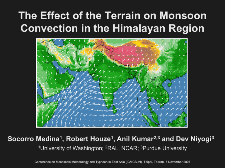
The Effect of the Terrain on Monsoon Socorro Medina , Robert Houze
advertisement

The Effect of the Terrain on Monsoon Convection in the Himalayan Region Socorro Medina1, Robert Houze1, Anil Kumar2,3 and Dev Niyogi3 1University of Washington; 2RAL, NCAR; 3Purdue University Conference on Mesoscale Meteorology and Typhoon in East Asia (ICMCS-VI), Taipei, Taiwan, 7 November 2007 OUTLINE • Review observations of summer monsoon precipitating systems • Evaluate if high-resolution models can predict these systems • Use simulations to investigate the role of the terrain in monsoon convection OUTLINE • Review observations of summer monsoon precipitating systems • Evaluate if high-resolution models can predict these systems • Use simulations to investigate the role of the terrain in monsoon convection Precipitating systems from TRMM Precipitation Radar (PR) reflectivity Jun-Sep 2002/2003 Deep Intense Convective Cores 40 dBZ echo > 10 km in height Wide Intense Convective Cores 40 dBZ echo > 1000 km2 area Broad Stratiform Echo > 50,000 km2 Houze et al. (2007) Western Central Eastern Example of Deep Intense Convective Core (40 dbz echo >10 km in height) Example: Reflectivity at 0900 UTC 14 Jun 2002 Delhi sounding 00 UTC 14 Jun 2002 Houze et al. (2007) 10 m winds reanalysis at 1200 UTC 14 Jun 2002 Orography Similar to convective systems in Plains of US Carlson et al. (1983) Precipitating systems from TRMM Precipitation Radar (PR) reflectivity Jun-Sep 2002/2003 Deep Intense Convective Cores 40 dBZ echo > 10 km in height Western Central Wide Intense Convective Cores 40 dBZ echo > 1000 km2 area Broad Stratiform Echo > 50,000 km2 Houze et al. (2007) Eastern Example of Wide Intense Convective Core (40 dbz echo >1000 km2 in area) Example: Reflectivity at 2208 UTC 3 Sep 2003 Houze et al. (2007) Precipitating systems from TRMM Precipitation Radar (PR) reflectivity Jun-Sep 2002/2003 Deep Intense Convective Cores 40 dBZ echo > 10 km in height Wide Intense Convective Cores 40 dBZ echo > 1000 km2 area Western Central Broad Stratiform Echo > 50,000 km2 Houze et al. (2007) Eastern Example of Broad Stratiform Echo (>50,000 km2 in area) Reflectivity at 0252 UTC 11 Aug 2002 10 m winds reanalysis at 00 UTC 11 Aug 2002 Houze et al. (2007) OUTLINE • Review observations of summer monsoon precipitating systems • Evaluate if high-resolution models can predict these systems • Use simulations to investigate the role of the terrain in monsoon convection NUMERICAL SIMULATIONS • Weather Research and Forecasting (WRF v2.1.1) model – NCEP Reanalysis used as initial and boundary conditions (6 hourly) – Bulk microphysical parameterization: WRF Single-Moment with 6 water substances SIMULATED SYSTEMS • Isolated deep convective system (14 Jun 2002) Simulation could not capture • Wide intense convective system (3 Sep 2003) • Broad stratiform system (11 Aug 2002) SIMULATED SYSTEMS • Isolated deep convective system (14 Jun 2002) Simulation could not capture system • Wide intense convective system (3 Sep 2003) • Broad stratiform system (11 Aug 2002) Wide convective system simulation Time: 18-23 UTC 3 Sep 2003 (0030-0530 LST) Terrain and accumulated precipitation (mm) Domain 1: dx = 9 km India Domain 2: dx = 3 km Wide convective system Evaluation at 2130 UTC 03 Sep 2003 (0400 LST, t=3.5 h) Observations WRF-simulation Infrared satellite temperature (shaded, K) and low-resolution terrain (black contours, km) Cloud top temperature (shaded, K) and terrain (black contours, m) Pakistan India Pakistan India Wide convective system – Evaluation of reflectivity (22 UTC 3 Sep) Observations WRF-simulation OUTLINE • Review observations of summer monsoon precipitating systems • Evaluate if high-resolution models can predict these systems • Use simulations to test hypothesis Houze et al. 2007 – investigate role of the terrain Wide convective system – Hypotheses testing HYPOTHESIS - Low-level moist southwesterly flow was capped by dry air flowing off the high Tibetan Plateau or the Afghan mountains Surface water vapor mixing ratio (g/kg) and winds Backward trajectories (HYSPLIT/NCEP) 0.5 km 2.5 km http://www.arl.noaa.gov/ready/hysplit4.html Wide convective system – Hypotheses testing HYPOTHESIS - Low-level moist southwesterly flow was capped by dry air flowing off the Afghan mountains Surface dew point depression (°C) Wide convective system – Hypotheses testing HYPOTHESIS - Convection started where the potentially unstable column was subjected to orographic lifting CAPE (J/kg) 3000 2000 1000 Wide convective system – Hypotheses testing HYPOTHESIS - Convection started where the potentially unstable column was subjected to orographic lifting Surface dew point depression (°C) and vertically integrated mixing ratio of precipitating hydrometeors (mm) at 1925 UTC (t=1.25 h) Wide convective system – Hypotheses testing HYPOTHESIS - Convection started where the potentially unstable column was subjected to orographic lifting Mixing ratio (g/kg) of water vapor (shaded), cloud hydrometeors (dark red) and precipitating hydrometeors (dark blue) at 1900 UTC 20 18 16 12 8 4 Wide convective system – Role of the NW concave indentation of the terrain ‘Idealized’ (highly smoothed) low-level variables Dew point depression > 10°C CAPE > 1800 J/kg CIN > 150 J/kg Temperature > 31°C Mixing ratio > 20 g/kg Relative Humidity (% ) - Shaded CONCLUSIONS Convective systems • High-resolution model was able to predict the observed structures (if the system is wide enough AND the model has enough resolution) • In Wide Intense Convective storm, the terrain appears to play three main roles: – The NW concave indentation of the terrain increases the existing humidity gradients – Elevated layer of dry, warm air originates over the Afghan mountains and caps the moist low-level flow allows buoyancy to build up – The convection is triggered at the small features of terrain (h<0.5 km): orographic lifting, convergence or both END Wide convective system – Hypotheses testing HYPOTHESIS - Low-level moist southwesterly flow was capped by dry air flowing off the Afghan mountains Soundings at 1800 UTC Dry side Moist side

