NUI, G R P
advertisement

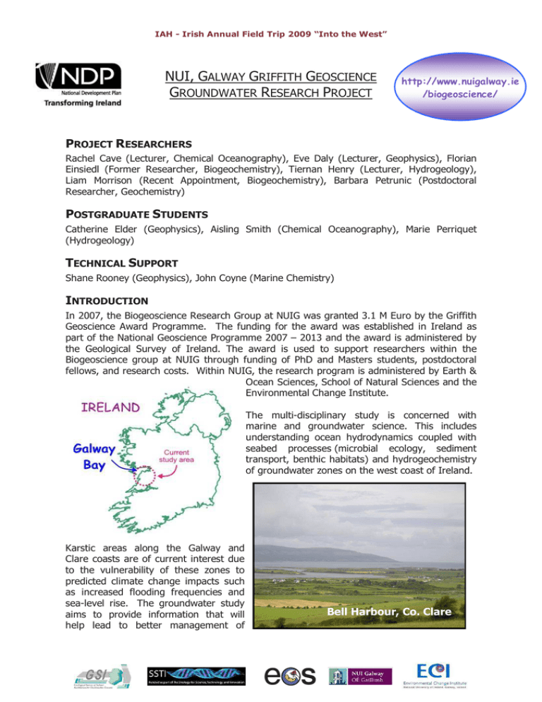
IAH - Irish Annual Field Trip 2009 “Into the West” "Into The West" NUI, GALWAY GRIFFITH GEOSCIENCE GROUNDWATER RESEARCH PROJECT http://www.nuigalway.ie /biogeoscience/ PROJECT RESEARCHERS Rachel Cave (Lecturer, Chemical Oceanography), Eve Daly (Lecturer, Geophysics), Florian Einsiedl (Former Researcher, Biogeochemistry), Tiernan Henry (Lecturer, Hydrogeology), Liam Morrison (Recent Appointment, Biogeochemistry), Barbara Petrunic (Postdoctoral Researcher, Geochemistry) POSTGRADUATE STUDENTS Catherine Elder (Geophysics), Aisling Smith (Chemical Oceanography), Marie Perriquet (Hydrogeology) TECHNICAL SUPPORT Shane Rooney (Geophysics), John Coyne (Marine Chemistry) INTRODUCTION In 2007, the Biogeoscience Research Group at NUIG was granted 3.1 M Euro by the Griffith Geoscience Award Programme. The funding for the award was established in Ireland as part of the National Geoscience Programme 2007 – 2013 and the award is administered by the Geological Survey of Ireland. The award is used to support researchers within the Biogeoscience group at NUIG through funding of PhD and Masters students, postdoctoral fellows, and research costs. Within NUIG, the research program is administered by Earth & Ocean Sciences, School of Natural Sciences and the Environmental Change Institute. The multi-disciplinary study is concerned with marine and groundwater science. This includes understanding ocean hydrodynamics coupled with seabed processes (microbial ecology, sediment transport, benthic habitats) and hydrogeochemistry of groundwater zones on the west coast of Ireland. Karstic areas along the Galway and Clare coasts are of current interest due to the vulnerability of these zones to predicted climate change impacts such as increased flooding frequencies and sea-level rise. The groundwater study aims to provide information that will help lead to better management of Bell Harbour, Co. Clare Petrunic et al., 2009 coastal karstic aquifer systems in Ireland, which are used as drinking water supplies. Within the groundwater research group, the following specific projects have been outlined: Groundwater Chemistry Project: The aims of the project are to characterize the variation in the chemical composition of the groundwater in the coastal regions (between Kinvarra Bay and Ballyvaughan Bay), locate areas within these catchments that are affected by salt-water intrusion, and identify important biogeochemical processes that take place along groundwater flow paths in the karst. Over the past year, spring and water samples from numerous locations within the coastal regions of County Galway and County Clare have been collected. The water samples were collected for the analysis of major cations and anions, nutrients, and isotopic signatures (e.g., oxygen in water). The study will continue this year with the installation of dataloggers for long-term monitoring of unused wells in the catchment areas. The goal is to identify inland regions of the coastal karst aquifer system that are influenced by seawater intrusion. Submarine Groundwater Discharge (SGD): Submarine groundwater discharge has been recognized as an important source of freshwater input to many coastal zones. In coastal karst aquifers, such as the one located in County Galway and County Clare, large volumes of water can move through the system relatively quickly due to a well connected conduit system and discharge into the coastal zone. The discharge of large amounts of groundwater can have several consequences on the water quality of the receiving marine water such as increased loading of nutrients and contaminants. Likewise, the ingress of seawater through these submarine connections can result in the degradation of inland water resources. As a result, SGD was investigated in Kinvarra Bay using naturally occurring tracers such as stable isotopes (δ18O and δ2H), radon-222, water chemistry data, and physico-chemical parameters. Several zones of SGD, representing “hot spots”, were located in the coastal zone and in the bay using these techniques and the interpretation of the results is currently ongoing. Geophysical surveys: Electrical Marine Resistivity Survey, Bell Harbour, Co. methods are a useful geophysical tool Clare, 2009 for groundwater studies. Two (L to R: C. Elder, A. Smith, S. Rooney, electrical resistivity surveys were E. Daly) performed in July 2009. The first survey was a terrestrial investigation, using electrical resistivity and ground penetrating radar, conducted at Peterswell/Blackrock Turlough in County Galway. The aim of this work was to use electrical resistivity to identify groundwater flow paths to the turlough. The second was a marine electrical resistivity survey, conducted in Pouldoody Bay, Bell Harbour, County Clare. The aim of this survey was to identify zones of SGD. This survey was the first sea trial of the new marine resistivity equipment that was recently purchased by NUI, Galway to support research within the Griffith groundwater project. Future work will include ground truthing the resistivity pseudo-sections using recorded temperature and conductivity values taken from specific points along the marine survey lines. Petrunic et al., 2009 Nutrient loading: Groundwater is vulnerable to inputs of nutrients from the surrounding catchment. The natural degradation of nitrogen-based nutrients proceeds more slowly in groundwater than in surface waters due to the isolation of the former from sunlight and atmosphere. Thus groundwater discharging into coastal waters can be a significant source of nitrogenous substances such as nitrite, nitrate and ammonia, derived from fertiliser and effluent. In order to quantify the nutrient Deploying a Microcat for longloading coming into bays term salinity measurements, from groundwater, both Kinvarra Bay Sampling spring at the concentrations in the Dunguaire Castle, groundwater and the 2008 flow rate of the water need to be established. Instruments have been deployed in Kinvarra and Aughinish bays for long-term monitoring of salinity, allowing firstorder calculations of groundwater inputs to be made, and related to catchment rainfall. Regular sampling of known groundwater discharges for nutrients is also ongoing, together these allow for nutrient loads to be calculated. Implications of groundwater discharge for aquaculture: Several of the bays around Galway Bay host shellfish aquaculture sites. Shellfish aquaculture relies on naturally occurring phytoplankton growth and inputs of organic material from rivers/groundwater as a food source for the shellfish. Inputs from groundwater to Aughinish and Kinvarra bays are being investigated for nutrient loading (see above) and also for their dissolved and particulate organic matter content. Seasonal surveys of the bays are also being carried out to establish the relative importance of groundwater and seawater inputs to the bays for these components. Groundwater modelling: This project will focus on developing and modifying existing groundwater flow models for this complex flow region. Both quantitative and qualitative data sets will be used to derive models that reflect the flow patterns of this area and that may in the future be adapted to similar areas of seawater and groundwater interaction. Petrunic et al., 2009 Figure 1. The locations of various NUIG research projects that are focused on the coastal zones of south Galway Bay. (Includes Ordnance Survey Ireland data reproduced under OSi licence number NUIG200803. Unauthorised reproduction infringes Ordnance Survey Ireland and Government of Ireland copyright. © Ordnance Survey Ireland, 2009) “Based on research grant-aided by the Department of Communications, Energy and Natural Resources under the National Geoscience Programme 2007-2013. The views expressed in this study are the author's own and do not necessarily reflect the views and opinions of the Minister for Communications, Energy and Natural Resources".


