Environmental Consideration on Access Channel Dredging Works
advertisement
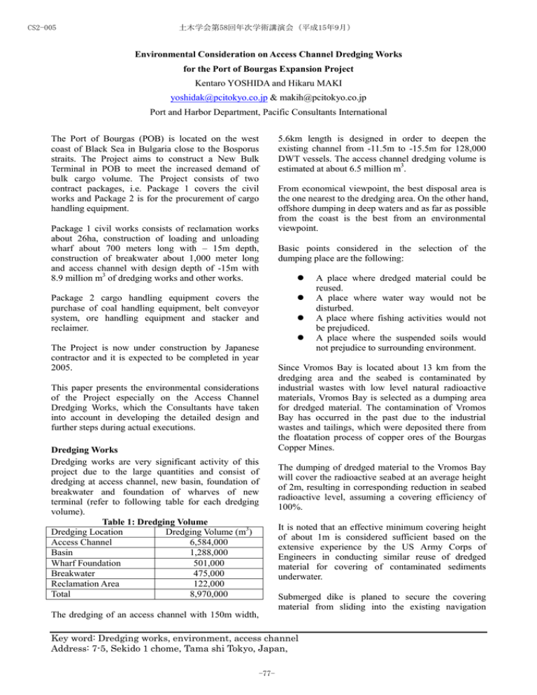
CS2-005 土木学会第58回年次学術講演会(平成15年9月) Environmental Consideration on Access Channel Dredging Works for the Port of Bourgas Expansion Project Kentaro YOSHIDA and Hikaru MAKI yoshidak@pcitokyo.co.jp & makih@pcitokyo.co.jp Port and Harbor Department, Pacific Consultants International The Port of Bourgas (POB) is located on the west coast of Black Sea in Bulgaria close to the Bosporus straits. The Project aims to construct a New Bulk Terminal in POB to meet the increased demand of bulk cargo volume. The Project consists of two contract packages, i.e. Package 1 covers the civil works and Package 2 is for the procurement of cargo handling equipment. Package 1 civil works consists of reclamation works about 26ha, construction of loading and unloading wharf about 700 meters long with – 15m depth, construction of breakwater about 1,000 meter long and access channel with design depth of -15m with 8.9 million m3 of dredging works and other works. Package 2 cargo handling equipment covers the purchase of coal handling equipment, belt conveyor system, ore handling equipment and stacker and reclaimer. The Project is now under construction by Japanese contractor and it is expected to be completed in year 2005. This paper presents the environmental considerations of the Project especially on the Access Channel Dredging Works, which the Consultants have taken into account in developing the detailed design and further steps during actual executions. Dredging Works Dredging works are very significant activity of this project due to the large quantities and consist of dredging at access channel, new basin, foundation of breakwater and foundation of wharves of new terminal (refer to following table for each dredging volume). Table 1: Dredging Volume Dredging Location Dredging Volume (m3) Access Channel 6,584,000 Basin 1,288,000 Wharf Foundation 501,000 Breakwater 475,000 Reclamation Area 122,000 Total 8,970,000 The dredging of an access channel with 150m width, 5.6km length is designed in order to deepen the existing channel from -11.5m to -15.5m for 128,000 DWT vessels. The access channel dredging volume is estimated at about 6.5 million m3. From economical viewpoint, the best disposal area is the one nearest to the dredging area. On the other hand, offshore dumping in deep waters and as far as possible from the coast is the best from an environmental viewpoint. Basic points considered in the selection of the dumping place are the following: z z z z Since Vromos Bay is located about 13 km from the dredging area and the seabed is contaminated by industrial wastes with low level natural radioactive materials, Vromos Bay is selected as a dumping area for dredged material. The contamination of Vromos Bay has occurred in the past due to the industrial wastes and tailings, which were deposited there from the floatation process of copper ores of the Bourgas Copper Mines. The dumping of dredged material to the Vromos Bay will cover the radioactive seabed at an average height of 2m, resulting in corresponding reduction in seabed radioactive level, assuming a covering efficiency of 100%. It is noted that an effective minimum covering height of about 1m is considered sufficient based on the extensive experience by the US Army Corps of Engineers in conducting similar reuse of dredged material for covering of contaminated sediments underwater. Submerged dike is planed to secure the covering material from sliding into the existing navigation Key word: Dredging works, environment, access channel Address: 7-5, Sekido 1 chome, Tama shi Tokyo, Japan, -77- A place where dredged material could be reused. A place where water way would not be disturbed. A place where fishing activities would not be prejudiced. A place where the suspended soils would not prejudice to surrounding environment. CS2-005 土木学会第58回年次学術講演会(平成15年9月) channel area. Trailing suction hopper dredger is selected for access channel dredging in order to minimize the disturbance of existing port operation while the dredging works take place. Adverse Effect of Covering Plan Potential adverse environmental effects of the proposed covering with dredged material in Vromos Bay would be considered as follows: z z Increase of water turbidity in the surrounding water environment and the resultant second effects in particular to economically significant fishery resource close by areas. Potential long-term reduction in effective covering height with time due to current and wave action and resultant siltation of surrounding seabed areas. The issue of increased water turbidity becomes very important and the impact of disposal of the dredged material on the surrounding marine environment have been assessed using 2D and 3D numerical models. Based on the 2D and 3D numerical modes analysis silt protection curtain are designed at the mouth of Vromos Bay in order to avoid the increased water turbidity out of Vromos Bay. Littoral drift on the seabed movement was checked for potential long-term reduction in effective covering. In order to evaluate the long-term reduction, sea bed material sampling and oceanographic investigation such as current observation and tidal observation were carried out. Based on these data, the littoral drift in the seabed of Vromos Bay in the covered with dredged material area, showed that potential movement in the seabed due to littoral drift would not be significant if the depth is not less than 7m and concluded that the seabed level in Vromos Bay formed by the capping of dredged material would be stable with no significant long-term reduction in capping effect. The hearing survey are also carried out to confirm the adverse effect on the fishery industry. Monitoring Plan The monitoring of water quality around the disposal area needs to be conducted to confirm the dispersion of turbidity does not affect offshore area. The location of water quality monitoring is determined based on the above 2D and 3D simulation results. In total four monitoring locations, two each side of eastern and western direction of Vromos Bay are proposed for monitoring points. -78- The sampling is conducted at two depths at each location, near the surface and near the seabed, resulting in eight numbers of samples. The parameters of monitoring are temperature, pH, transparency, TDS (total dissolved solids), TSS (total suspended solid), total extractable oil and the heavy metal elements - Cr (Chromium), Ni (Nickel), Cu (Copper), Zn (Zinc), Cd (Cadmium), Hg (Mercury), Pb (Lead) and As (Arsenic). These eight heavy metal elements are considered as most representative to heavy metal pollution due to port operational activity. The monitoring is schedule to be carried out twice a month. EIA Decision After the engineering design and the tender procedure finished, EIA decision for the Project implementation was made by the Ministry of Environment. The EIA final decisions in relation to the dredging works are as follows: z z z The disposal of dredged material is allowed only in the outer disposal area for the period from February till October and depending on the results of the water monitoring. The execution of dredging works and disposal of dredged material in shallow waters less than -18m is not allowed without silt protection curtain. The disposal in the outer disposal area must be carried out only by applying strictly observation of the respective weather conditions and sea currents, in order to avoid the possibility of increasing the turbidity beyond the disposal area. Conclusion 1. The alternative for disposal of dredging material at Vromos Bay, capping for the radioactive seabed material was rejected by the local people since possible income reduction from tourism is anticipated. 2. Shift of disposal of dredged material from the Vromoas Bay to Outer Area increased the dredging cost about 70% than the original cost. 3. The dredging work shall be carried out by the final decision of MOE even the best alternative is supposed to be proposed in the EIA report. 4. Environmental consideration should be given first priority for sustainable development of Project. References [1] Detailed Design Report for the Port of Bourgas Expansion Project, February 2000. [2] Final EIA Report for the Port of Bourgas Expansion Project, December 1999.
