Contaminated land Environmental Health
advertisement
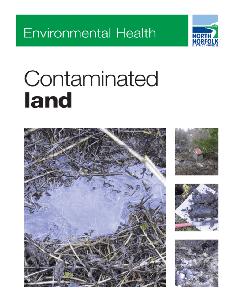
Environmental Health Contaminated land Environmental Health Introduction and background This leaflet is aimed at consultants who have been appointed to carry out a site investigation for a third party for submission to the Local Planning Authority (LPA) as part of the planning process. It aims to highlight the key areas that the LPA will and will not accept when information is submitted in respect of the planning condition. This document has been produced in collaboration with contaminated land officers across Norfolk with the aim of a consistent approach across the county. What is required Planning Policy Statement 23 ‘Planning and Pollution Control’ states that the site must be suitable for the intended use. Planning applications should be accompanied by a desk study (as a minimum) when submitted, however in some cases planning permission is granted subject to a condition requiring a desk study / site investigation prior to the commencement of development. In either case, for a scheme to fulfil the requirements of the LPA and fully assess the condition of a site, it must be both factual and interpretative. The scheme should detail as much about the site as possible. Information on the key requirements of this process is given in CLR11 - Model Procedures for the Management of Land Contamination, however a brief summary is presented below. There are four key stages to assessing the site: A desk study; A detailed site investigation; Remediation; Post remediation verification testing and report. All stages are required as part of a full site investigation and remediation programme. However if at any time there is sufficient evidence that further consideration is not required, the full process may not be necessary. This document sets out our basic requirements for each stage with some general ‘watchpoints’ for items we will or won’t accept. The desk study The desk study should be carried out in line with recognised best practice methods at the time of submission. Guidance on producing desk studies is given in BS10175 Investigation of Potentially Contaminated Sites – Code of Practice, CLR 11 (see above), CIRIA C552 ‘Contaminated Contaminated land Land Risk Assessment a Guide to Good Practice’, various EA guidance on the requirements for land contamination reports and the revised R&D66. An example of the minimum information that is expected to be included in a desk study (but not restricted to this) is: Past, present and proposed land uses, from documented sources, historical mapping, aerial photos and photographs of the site from the ground together with any air photos and anecdotal sources; Details of contaminative operations that have been carried out on the site or close enough to potentially impact on the site, together with their locations where possible; Details of any mineral extraction and land filling that have or may have taken place on the site or close enough to potentially impact on the site; Environmental setting - geology, hydrogeology, hydrology, environmentally sensitive areas, pollution incidents etc; Details of services on the site; Results of a detailed site walkover survey, including an appropriately annotated plan of the site; Environmental Health Conceptual site model This information must then be collated and interpreted to form a Conceptual Site Model (CSM). This should include the following components: Key or likely contaminants list; Hazard map showing the locations of past activities and future receptors; Schematic cross sectional map of the site also used to show the relative locations of potential sources and receptors; Identification of possible pollutant linkages based on the source – pathway – receptor principle. A preliminary risk assessment (or hazard assessment) should then be clearly presented. This will enable the site investigation objectives to be identified. Key points to consider: A commercial homebuyers ‘passed’ certificate is not an acceptable alternative to a desk study, and for the majority of sites will not include sufficient detail on the environmental setting of the surrounding area to be included in the desk study. Copies of all of the relevant information must be included in the report. The walkover survey should be clearly documented, and presented in detail. It should, where possible, be accompanied by clear colour site photographs and a plan detailing where the photographs were taken. An annotated plan showing the locations of key features on the site should also be included. ‘Absences’ should also be noted (e.g. ‘No above ground fuel tanks were noted’). Reference must be made to features identified through other means such as historical mapping. Contaminated land The proposed site investigation should be presented in detail, including a proposed sample location plan and the reasoning behind selecting these locations. It is worth noting that unless all potential pollutant linkages are identified at this stage, if one should come to light later then the whole process will need to be reviewed and possibly restarted. The site investigation The site investigation must also be carried out in accordance with recognised best practice methodology at the time of submission. Guidance is available in a number of publications, such as the Environment Agency publications ‘Technical Aspects of Site Investigation Volumes I & II’ and Secondary Model Procedures for the Development of Appropriate Soil Sampling Strategies’. Factual Information An example of the sort of factual information that is expected to be in a site investigation report (but not restricted to this) is: Details of methods of intrusive investigation, the number of sampling points, their locations including a scale plan and the reasoning behind these decisions; Sample storage, maintenance and copies of the sample ‘chain of custody’; Field measurements, equipment used and calibration details; Details of the laboratory used and analysis for which it has accreditation; A summary table of results as well as laboratory reporting sheets; Borehole / trial pit logs, etc produced in accordance with BS 5930 by an experienced person; Where ground gases are tested details of the gas flow rate, gas concentration, atmospheric pressure and trend should be recorded and included in the results, together with details of the monitoring well construction; The Environment Agency’s policy is to only accept laboratory soil and water test results that are from an MCERTS Accredited laboratory. We would also encourage the use of MCERTS accredited laboratories; Where data is to be used for a risk assessment (either generic or site specific), the analysis selected must be appropriate for the risk assessment. For example, the use Environmental Health of ‘total’ PAH or ‘total’ hydrocarbon results is not acceptable. The use of such parameters may result in the report being rejected; The limit of detection used by the laboratory should be an order of magnitude lower than the assessment criteria against which the results are to be compared i.e. the limit of detection should be an order of magnitude below the SGV. Laboratory analysis should include Soil Organic Matter to enable the appropriate assessment against relevant guideline values The factual information should be collated and interpreted with reference to the conceptual site model developed at the desk study stage. As this is an iterative process, it is expected that the CSM and potential pollutant linkages will be revised as a results of the site investigation, as part of the risk assessment process. Watch points General ‘watch points’ for risk assessment are given below: Statistics should be used where appropriate. Guidance has been produced by CIEH/CL:AIRE on this subject and a statistics calculator is available for download. However, you should ensure that sampling strategies and number of samples are appropriate for the statistical methodologies used in the report. Generic acceptance criteria (GACs), such as Soil Guideline Values, are acceptable for an initial screening process. They must be based on the latest Environment Agency technical guidance at the time of submission to the LPA. They must be UK based and technically defensible. You should check with the individual LPA prior to using the LQM/CIEH or Atkins Atrisksoil GAC values. ‘In house’ or model derived values are only accepted when presented with a similar level of detail to that accepted for DQRA, as set out below. The Interdepartmental Committee on the Redevelopment Contaminated Land (ICRCL) guideline values (59/83) will not be accepted at any stage in a report, neither is the use of another countries assessment criteria (e.g. ‘Dutch/ RIVIM’ values) acceptable. Where a Detailed Quantitative Risk Assessment (DQRA) is undertaken for human health exposure or controlled waters assessment, details of the model together with the reasoning and justification behind the selection must be submitted for approval to the LPA. We recommend that this be undertaken prior to submission of the report. Where a DQRA is undertaken, details of all input parameters must be fully referenced, authoritative and technically defensible and details of the reasoning behind the selection of each parameter presented. You should follow the technical Contaminated land principles and framework set out in the EA’s Science Report 2 (Human health toxicological assessment of contaminants in soil SC050021/SR2). Input and output sheets from the risk assessment model chosen should be presented in the report. Where software is customised to allow for UK specific pathway or receptor characteristics, details of this customisation, including calculations for changes in units etc, must be clearly and transparently presented. Risk assessment for ground gas is required on sites where a potential hazard is present. The LPA adopts the BS 8485:2007 and supports the use of the principles set out in CIRIA document C665 and NHBC Guidance on evaluation of Development proposals on sites where Methane and Carbon Dioxide are present. You will need to demonstrate that the risk assessment methodology is appropriate for the development. With respect to controlled waters, you are advised that the EA’s preferred risk assessment tool is the remedial targets methodology. Should you wish to use another model, please consult directly with the EA. Outcomes of the risk assessment Following completion of the risk assessment process three possible options will be available for each potential pollutant linkage: Linkage not made, no further action required; Insufficient information is available and further investigation work is required; or Remedial action is required to break a pollutant linkage. Reporting The report conclusions should clearly state the decision for each potential pollutant linkage, as well as provide a rationale for that decision. This will include further revision to the CSM as required. CLR11 refers to an ‘options appraisal’ sometimes also known as ‘remediation strategy’. This is where, as a result of the conclusions made above, a discussion of the likely remedial options are presented for the client and LPA to see the decision making process. Agreement with all parties must be sought, before preparing a remediation method statement. Reference to appropriate best practice and where possible details of other locations where the proposed method has been successfully adopted should be given. You are advised to discuss with the LPA their views on simple or engineered cover systems, if they are your client’s preferred option, prior to undertaking full design. Environmental Health Contaminated land Remediation The proposed remediation design must be submitted to the LPA in the form of a remediation method statement (RMS) for written approval before the work may begin. Please note that this is not the same as the options appraisal or remedial strategy discussed above. The RMS must cover all outstanding pollutant linkages that require remedial attention in one document. The RMS should include, as a minimum: A brief summary of the site circumstances and conceptual model. Be sufficiently detailed to allow it to be followed by the site operatives, with no further on site documentation required. It is essentially a factual document. It should include all of the information required by CLR 11 with respect to remediation methods, location plans etc. Details of who is responsible for verification of each component should be presented. Details of how remediation will be verified, together with details of the proposed remediation target values. The RMS must cover all pollutant linkages. A separate RMS for human health / ground gas and/ or groundwater is not acceptable. The RMS must cover the whole site, even if different approaches are required in different areas. Watch points Watch points for verification design: Verification of the removal of contaminated material or remedial technologies adopted on the site should be specified Verification of imported soils is required. Testing rates and test suites depend on the soil source. In many cases a desk study of the soil source may be required. As a minimum, 3 samples from any one source are required, and sampling rates of 1-3 samples per 300m3 or one per plot are common for ‘clean soils’. Sampling methods and rates will depend on soil homogeneity. Imported soils should be sampled once the soil has been laid to support the analysis provided by the supplier. This is required for each individual soil type imported. Ensure that test records from the supplier apply to the soil physically intended for importation. Environmental Health Verification/ Validation A verification or validation report (sometimes known as a ‘closeout report’) is required at the completion of the project. Its contents will have been agreed in advance as part of the RMS, however CLR11 gives guidance as to the requirements of a verification report. Failure to demonstrate compliance with the agreed scheme may represent a breach of the planning permission and could result in additional work on the site and the possibility of planning enforcement action being taken. Reporting Your report should include the following as a minimum: The site status at completion. Details of any variation to the RMS, and who they were agreed with at the time and why they were required. Plans, as built drawings and photographs. Laboratory test results with appropriate interpretation. Key items of correspondence, meeting or site visit notes. On receipt of a successful verification report, the Environmental Health Department will recommend discharge of the condition to Development Control. However, should the verification show that the remedial methodology has not worked, further assessment will be required. Contaminated land Useful references • BS 5930:1999 - Code of Practice for Site Investigations (BSI) • BS 8485:2007 Code of practice for the characterization and remediation from ground gas in affected developments (BSI) • BS 10175:2001 - Investigation of Contaminated land - Code of Practice (BSI) • C552 2001 Contaminated Land Risk Assessment A Guide to Good Practice (www.ciria.org) • C665 2007 Assessing risks posed by hazardous ground gases to buildings (revised) (www.ciria.org) • CLEA Framework reports (Environment Agency [EA] http://www.environment-agency.gov.uk/) • CLR11 - Model Procedures for the Management of Land Contamination. • DoE Industry Profiles - For a number of the main industrial land uses that may cause land contamination (available online at www.environment-agency.gov.uk) • Guidance on comparing soil contamination data with a critical concentration (CIEH/CL:AIRE May 2008) • Guidance on evaluation of development proposals on sites where methane and carbon dioxide are present (NHBC / RSK Group PLC, 2007) • Guidance on Requirements for Land Contamination Reports (EA, July 2005) • MCERTS Performance Standard for Laboratories Undertaking the Chemical Testing of Soil (Version 3, EA January 2007) • P5-065/TR Technical Aspects of Site Investigation Volumes I & II (EA, 2000) • P5-066 Secondary Model Procedures for the Development of Appropriate Soil Sampling Strategies (EA, 2001) • PPS23 Planning and Pollution Control Annex 2: Development on Land Affected by Contamination (ODPM/CLG 2004 – amended 2006 and 2008) • R&D66:2008 – Guidance for the safe development of housing on land affected by contamination. (EA/NHBC/CIEH, 2008) • Remedial targets methodology: hydrogeological risk assessment for land contamination (EA, 2006) • SR2 Human health toxicological assessment of contaminants in soil: Science Report Final SC050021/SR2 [replaces CLR9] (EA, 2009) • SR3 Updated technical background to the CLEA model: Science Report Final SC050021/SR3 [replaces CLR10] (EA, 2009) Environmental Health End This document has been produced to set out the basic minimum requirements for the ‘average’ site. As all sites are different, the information provided above does not represent a definitive methodology for all sites, and each site should be judged on its merits. Land contamination requirements and research is a continually evolving science, and therefore this document does not aim to provide a detailed statement of the law or constitute professional advice. The requirements will change according to current guidance and best practice. Telephone, Fax and Email: Tel: 01263 516085 fax: 01263 514627 email: ep@north-norfolk.gov.uk Our switchboard - 01263 513811 operates from: 8:30am to 5pm Monday to Thursday 8:30am to 4:30pm Friday Write to: Environmental Protection Team Environmental Health North Norfolk District Council Holt Road Cromer Norfolk NR27 9EN www.northnorfolk.org If you would like this leaflet in large print, audio, Braille, alternative format or in a different language please call North Norfolk District Council on 01263 513811, and we will do our best to help.
