Polk County Shoreland Zoning Jeremy Williamson Polk County LWRD
advertisement
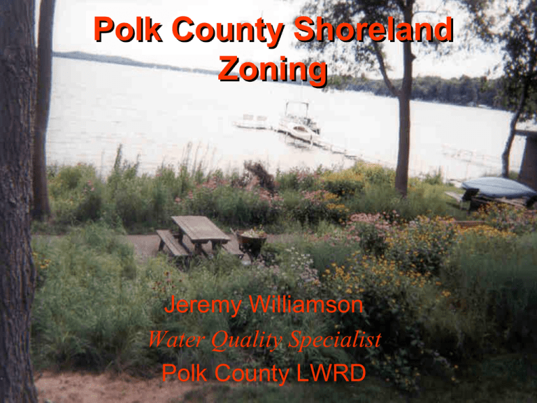
Polk County Shoreland Zoning Jeremy Williamson Water Quality Specialist Polk County LWRD Introduction to the Land Use Runoff Rating • Developed to reduce the negative effects of shoreline development • Recognizes uniqueness of properties • Runoff calculations based on land use ratings from Urban Hydrology for Small Watersheds, Technical Release 55 (1986) Published by USDA When is a Land Use Runoff Rating required? 1) Building on property within the setback areas 2) Activities that will increase impervious areas and drain directly to the lake. (within 300’) What is needed to calculate the Land Use Runoff Rating? 1) Hydraulic Soils Map of Polk County 2) Curve numbers for hydraulic soil types 3) Map that shows lot dimensions 4) Tape measure 5) Pencil & Paper 6) Calculator 1. Determine the area of each land use for the lot. 2. Determine the percentage of each land use on the lot. 3. Determine the hydrologic soils type of the property 4. Determine the appropriate curve number for each land use 5. Multiply the percentage of each land use by the appropriate curve number. 6. Add the resulting numbers to determine your Land Use Runoff Rating. 7. Results If less than or equal to 69, no mitigation required If greater than 69, mitigation required Mitigation options Rain Gardens Rain Basins Retention Pond Vegetative Areas Redirect Water We need data to determine compliance We need buy in!

