3D BUILDING RECONSTRUCTION USING DIGITAL MAP AND AIRBORNE DIGITAL CAMERA IMAGERY
advertisement
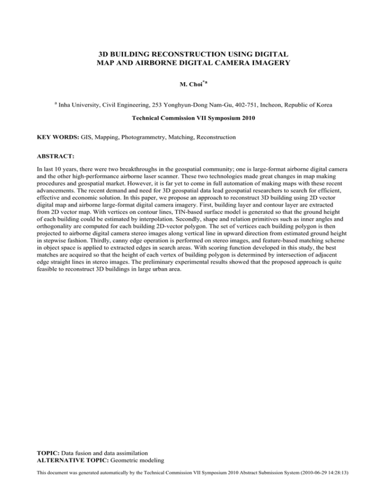
3D BUILDING RECONSTRUCTION USING DIGITAL MAP AND AIRBORNE DIGITAL CAMERA IMAGERY M. Choi*a a Inha University, Civil Engineering, 253 Yonghyun-Dong Nam-Gu, 402-751, Incheon, Republic of Korea Technical Commission VII Symposium 2010 KEY WORDS: GIS, Mapping, Photogrammetry, Matching, Reconstruction ABSTRACT: In last 10 years, there were two breakthroughs in the geospatial community; one is large-format airborne digital camera and the other high-performance airborne laser scanner. These two technologies made great changes in map making procedures and geospatial market. However, it is far yet to come in full automation of making maps with these recent advancements. The recent demand and need for 3D geospatial data lead geospatial researchers to search for efficient, effective and economic solution. In this paper, we propose an approach to reconstruct 3D building using 2D vector digital map and airborne large-format digital camera imagery. First, building layer and contour layer are extracted from 2D vector map. With vertices on contour lines, TIN-based surface model is generated so that the ground height of each building could be estimated by interpolation. Secondly, shape and relation primitives such as inner angles and orthogonality are computed for each building 2D-vector polygon. The set of vertices each building polygon is then projected to airborne digital camera stereo images along vertical line in upward direction from estimated ground height in stepwise fashion. Thirdly, canny edge operation is performed on stereo images, and feature-based matching scheme in object space is applied to extracted edges in search areas. With scoring function developed in this study, the best matches are acquired so that the height of each vertex of building polygon is determined by intersection of adjacent edge straight lines in stereo images. The preliminary experimental results showed that the proposed approach is quite feasible to reconstruct 3D buildings in large urban area. TOPIC: Data fusion and data assimilation ALTERNATIVE TOPIC: Geometric modeling This document was generated automatically by the Technical Commission VII Symposium 2010 Abstract Submission System (2010-06-29 14:28:13)
