Document 11341170
advertisement
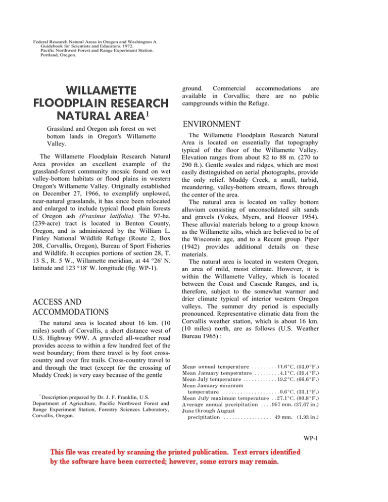
Federal Research Natural Areas in Oregon and Washington A Guidebook for Scientists and Educators. 1972. Pacific Northwest Forest and Range Experiment Station. Portland, Oregon. ground. Commercial accommodations are available in Corvallis; there are no public campgrounds within the Refuge. Grassland and Oregon ash forest on wet bottom lands in Oregon's Willamette Valley. The Willamette Floodplain Research Natural Area provides an excellent example of the grassland-forest community mosaic found on wet valley-bottom habitats or flood plains in western Oregon's Willamette Valley. Originally established on December 27, 1966, to exemplify unplowed, near-natural grasslands, it has since been relocated and enlarged to include typical flood plain forests of Oregon ash (Fraxinus latifolia). The 97-ha. (239-acre) tract is located in Benton County, Oregon, and is administered by the William L. Finley National Wildlife Refuge (Route 2, Box 208, Corvallis, Oregon), Bureau of Sport Fisheries and Wildlife. It occupies portions of section 28, T. 13 S., R. 5 W., Willamette meridian, at 44 °26' N. latitude and 123 °18' W. longitude (fig. WP-1). ACCESS AND ACCOMMODATIONS The natural area is located about 16 km. (10 miles) south of Corvallis, a short distance west of U.S. Highway 99W. A graveled all-weather road provides access to within a few hundred feet of the west boundary; from there travel is by foot crosscountry and over fire trails. Cross-country travel to and through the tract (except for the crossing of Muddy Creek) is very easy because of the gentle ENVIRONMENT The Willamette Floodplain Research Natural Area is located on essentially flat topography typical of the floor of the Willamette Valley. Elevation ranges from about 82 to 88 m. (270 to 290 ft.). Gentle swales and ridges, which are most easily distinguished on aerial photographs, provide the only relief. Muddy Creek, a small, turbid, meandering, valley-bottom stream, flows through the center of the area. The natural area is located on valley bottom alluvium consisting of unconsolidated silt sands and gravels (Vokes, Myers, and Hoover 1954). These alluvial materials belong to a group known as the Willamette silts, which are believed to be of the Wisconsin age, and to a Recent group. Piper (1942) provides additional details on these materials. The natural area is located in western Oregon, an area of mild, moist climate. However, it is within the Willamette Valley, which is located between the Coast and Cascade Ranges, and is, therefore, subject to the somewhat warmer and drier climate typical of interior western Oregon valleys. The summer dry period is especially pronounced. Representative climatic data from the Corvallis weather station, which is about 16 km. (10 miles) north, are as follows (U.S. Weather Bureau 1965) : 1 Description prepared by Dr. J. F. Franklin, U.S. Department of Agriculture, Pacific Northwest Forest and Range Experiment Station, Forestry Sciences Laboratory, Corvallis, Oregon. WP-l According to a recent soil survey, the soil series found in the natural area are the Dayton and Woodburn silt loams and Waldo silty clay loams; the approximate percentage of the area in each series is 65, 20, and 15 percent, respectively. The grasslands occupy a mosaic of Dayton and Woodburn silt loams. The forested areas are mainly found on the Dayton series (80 percent), with some Waldo series along the western boundary. The relationships of several of these soils to geomorphic surfaces have been described by Balster and Parsons (1968). The Dayton series has been classified as a Planosol and Typic Albaqualf by the old and new soil classifications, respectively. It consists of a shallow, poorly drained silt loam over clay developed in waterdeposited silts over older underlying materials. A typical horizon sequence is as follows (the plow layer (Ap) is, of course, absent in the natural area): Dark grayish brown Ap from 0 to 20 em.; Grayish silty clay loam A2 from 20 to 38 em.; and Dark grayish clayey IIB2t from 38 to 83 em. Detailed studies have shown that the boundaries between the A2, B2, and C horizons represent depositional discontinuities (Parsons and Balster 1967). The Woodburn silt loam can be classified as a Brunizem or Aqualtic Argixeroll. The very deep moderately welldrained silt loam surface soil and silty clay loam subsoil is developed in silty alluvial deposits. A typical horizon sequence is as follows (the plow layer (Ap) is absent in the natural area): Very dark grayish brown Ap from 0 to 20 em.; Dark brown A3 from 20 to 40 em.; Dark brown B1 from 40 to 60 em.; and a dark brown silty clay loam B2t from 60 to 120 em. BIOTA The natural area is almost evenly divided between grassland and forest. The grasslands occupy about 50 ha. (123 acres), mostly in the eastern half of the tract. Forests, dominantly of Oregon ash, cover 47 ha. (116 acres) in the western half of the natural area. The ash forests can be related to Kuchler's (1964) Type 25, Alder-Ash Forest. The natural area is located within the Interior Valley (Pinus - WP-2 Quercus - Pseudotsuga) Zone of Franklin and Dyrness (1969). The grasslands found on the Willamette Floodplain Research Natural Area are probably as natural as any remaining on similar wet bottom land habitat anywhere in the Willamette Valley. These communities are a rich mixture of native and introduced species and of grasses, grasslike plants, and forbs. Typical dominants include Carex ovales, C. leporina, Alopecurus geniculattus, and Hordeum Deschampsia caespitosa, brachyantherum. Forbs commonly encountered include Saxifraga integrifolia, Lomatium bradshawii, Achillea millefol1ium, Ranunculus orthorhynchus, Veronica scutellata, Potentilla gracilis, Myosotis versicolor, Sidalcia nelsoniana, Galium trifidum, and Hypericum perforatum. Other species known to occur include Sidalcia campestris, Geranium dissectum, G. molle, Collinsia parviflora, Cardamine oligosperma., Lathyrus spp., Ceratstium glomeratum, Plantago lanceolata, Luzula comosa, Carex lanuginosa, C. unilateris, Rumex acetosella, Dipsacus sylvestris, Trifolium dubium, Mimulus guttatus, Sisyrinchium angustifolium, Juncus confusus, J. bufonius, Bromus commutatus, Fragaria vesca, Geranium oreganum, Orthocarpus hispidus, and Epilobium glandulosum Deschampsia danthonioides and Plagiobothrys figuratus are common dominants on disturbed microsites. Some shrub and tree species are abundantly scattered through the natural area. Oregon ash, Rosa nutkana, Spiraea douglasii, Pyrus fusca, Crataegus douglasii, and Amelanchier alnifolia are among the more common. Aerial photographs (Fig. WP-1) reveal that the trees and shrubs are not uniformly distributed over the grassland; instead they appear to be densest on convex topography or microridges. Woody plants appear to be extending their range and increasing their dominance in some grassland areas, suggesting gradual successional replacement of the existing herbaceous communities by trees and shrubs (fig. WP-2). This invasion is probably a consequence of fire control programs; most natural grasslands found in the Willamette Valley are believed to have been maintained by periodic burning. Consequently, present plans are for periodic burning of a portion of the grasslands on the natural area. Before this is attempted, burning will be tested as a management technique on a similar, nearby area. Very little descriptive work has as yet been carried out on the forest stands. Oregon ash is the major dominant but Oregon white oak (Quercus garryana) becomes a co-dominant or dominant in the stands located west of Muddy Creek (fig. WP2). The Oregon ash stands vary considerably in age and in density and composition of understory. Some of the denser young stands have essentially no ground vegetation. All of the lowland forest is, of course, subject to flooding by the overflow of Muddy Creek every winter. Mammals which are believed to occur on the Willamette Floodplain Research Natural Area as residents or transients are listed in table WP-l. The western pond turtle (Clemmys marmorata) is found in Muddy Creek. Many different bird species may be encountered within the natural area; a complete checklist of the birds for the Refuge is available at Refuge Headquarters. Among those frequenting the natural area itself are all of the water fowl which periodically feed on land, such as the dusty Canada goose (Branta canadensis var. occidentalis), for which the wildlife refuge was established, marsh hawk (Circus cyaneus), short-eared owl (Asio flammeus), red-tailed hawk (Buteo jamaicensis), rough-legged hawk (Buteo lagopus), western meadowlarks (Sturnella neglecta), goldencrowned sparrows (Zonotrichia atricapilla), northern shrike (Lanius excubitor), ringnecked pheasant (Phasianus colchicus), California quail (Lophortyx californicus), and bobwhite (Colinus virginanus). Large numbers of mallards (Anas platyrhynchos) are encountered along Muddy Creek at certain times of the year. HISTORY OF DISTURBANCE impact on the natural area. The grasslands have never been plowed, but they were subject to heavy grazing and were probably burned periodically prior to establishment of the refuge in 1963. The grassland stand in the southwestern corner of the natural area is an abandoned field which is gradually undergoing colonization by native plants; the field was abandoned some time prior to 1964. RESEARC H The only research conducted thus far on the Willamette Floodplain Research Natural area is by undergraduate students in ecology and wildlife from Oregon State University; the Refuge Manager can provide details. The natural area is a uniquely valuable research site. It is one of only two scientific reserves which includes stands of Oregon ash and provides the only protected example of seminatural, unplowed Willamette Valley grassland. Among the many opportunities for research include studies of: (1) successional processes, particularly in connection with the burning program planned for a portion of the natural area; (2) variation in community composition in relation to microtopography (swale vs. ridge); (3) the role of various introduced plant species; (4) long-term changes in the forest-grassland boundary; and (5) aquatic and semiaquatic organisms associated with a meandering valley stream. MAPS AND AERIAL PHOTOGRAPHS There are no special maps of sufficient detail to be of value. Aerial photographs taken in June 1970 are available from the Agricultural Stabilization and Conservation Service, Benton County ASC Committee, P.O. Box 1027, Corvallis, Oregon. The photo providing the best coverage of the natural area is D F J 1LL-47. Human activities have had a significant WP-3 LITERATURE CITED Balster, C. A., and R. B. Parsons 1968. Geomorphology and soils, Willamette Valley, Oregon. Oreg. Agric. Exp. Stn. Spec. Rep. 265, 31 p., illus. Franklin, Jerry F., and C. T. Dyrness 1969. Vegetation of Oregon and Washington. USDA Forest Serv. Res. Pap. PNW-80, 216 p., illus. Pac. Northwest Forest & Range Exp. Stn., Portland, Oreg. Kuchler, A. W. 1964. Manual to accompany the map of potential natural vegetation of the conterminous United States. Am. Geogr. Soc. Spec. Publ. 36, various paging, illus. WP-4 Parsons, R. B., and C. A. Balster 1967. Dayton - a depositional planosol, Willamette Valley, Oregon. Soil Sci. Soc. Am. Proc. 31: 255-258, illus. Piper, Arthur M. 1942. Ground-water resources of the Willamette Valley, Oregon. U.S. Geol. Surv. Water-Supply Pap. 890,194 p., illus. U.S. Weather Bureau 1965. Climatic summary of the United States supplement for 1951 through 1960, Oregon. Climatography of the United States 86-31, 96 p., illus. Vokes, H. E., D. A. Myers, and Linn Hoover 1954. Geology of the west central border area of the Willamette Valley, Oregon. U.S. Geol. Surv. Oil & Gas Invest. Map OM-150. Figure WP-2.-Natural features of Willamette Floodplain Research Natural Area. Upper left: Typical view of Muddy Creek showing streamside forest dominated by Oregon ash. Upper right: Grassland and Oregon white oak-dominated stand in southeastern corner of the natural area; note the mistletoe in the oak trees. Lower left: Portion of grassland which has been lightly invaded by shrubs and trees; invading Crataegus (background) and a patch of Spiraea (center) are visible. Lower right: Grassland area dominated by Deschampsia caespitosa, Alopecurus geniculatus, and Carex spp.
