Camino Real Paleohydrogeologic Study Camino Real Paleohydrologic Study
advertisement
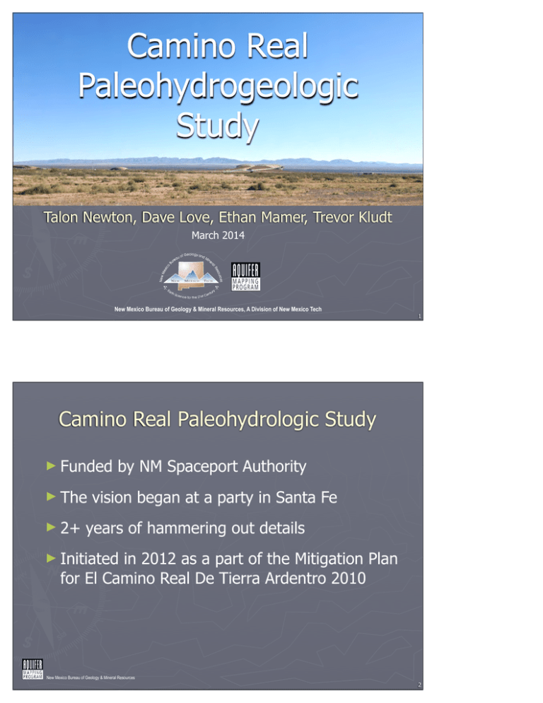
Camino Real Paleohydrogeologic Study Talon Newton, Dave Love, Ethan Mamer, Trevor Kludt March 2014 New Mexico Bureau of Geology & Mineral Resources, A Division of New Mexico Tech 1 Camino Real Paleohydrologic Study ► Funded ► The ► 2+ by NM Spaceport Authority vision began at a party in Santa Fe years of hammering out details ► Initiated in 2012 as a part of the Mitigation Plan for El Camino Real De Tierra Ardentro 2010 New Mexico Bureau of Geology & Mineral Resources 2 Aims and Objectives ► To assess the relationship between local water sources and features along the El Camino Real To assess current hydrogeologic framework and groundwater flow conditions in the Jornada Del Muerto in the vicinity of the Spaceport To map land forms to identify extinct and historic water sources such as paleo-springs and paleo-wetlands New Mexico Bureau of Geology & Mineral Resources 3 Outline ► Geology – Dave Love ► Hydrogeology – Talon Newton ► Water availability and implications on travel on the Camino Real – Ethan Mamer and Trevor Kludt ► Strategies for navigating the Camino Real – Trevor Kludt New Mexico Bureau of Geology & Mineral Resources 4 GEOLOGY New Mexico Bureau of Geology & Mineral Resources 5 Landscape Features of Jornada del Muerto Army, 1887 6 Thanks to Bill Seager and Greg Mack for the Geologic Groundwork. physical features develop from geological substrates and events “Civilization exists by geological consent, subject to change without notice.” --Will Durant (1885-1981) 7 The word for the day is “cuesta” steep slope gentle slope resistant layer(s) less resistant layer(s) younger on top older below permeable layers less permeable layers 8 The word for the day is “cuesta” steep slope gentle slope resistant layer(s) less resistant layer(s) younger on top older below permeable layers less permeable layers 9 cue stas Aleman di gen p slo tle pe s tee ps lop e New Mexico Bureau of Geology & Mineral Resources 10 cuestas formed on progressively older upturned beds to north; younger to south 90 Ma 70 Ma 45 Ma 35 Ma 20 Ma New Mexico Bureau of Geology & Mineral Resources 11 Syncline (trough) plunging south-southeast Seager (1986) New Mexico Bureau of Geology & Mineral Resources 12 1-4 Ma 20 Ma 25-27 Ma many landscapes through time! 27-35 Ma 45 Ma 40 Ma 13 Paths of the Rio Grande 1 – 5 million years ago 14 Point of Rocks Ca ino m al Re de ra er Ti tro en Ad San Diego Mountain or Tonuco 20 Ma New Mexico Bureau of Geology & Mineral Resources 15 Caballo Mtns. Point of Rocks New Mexico Bureau of Geology & Mineral Resources 16 Point of Rocks cuestas expose volcanic rocks from 25 to 40 million years old 35 Ma New Mexico Bureau of Geology & Mineral Resources 17 Point of Rocks New Mexico Bureau of Geology & Mineral Resources 18 Point of Rocks New Mexico Bureau of Geology & Mineral Resources 19 Love Ranch Formation at Yost and Aleman New Mexico Bureau of Geology & Mineral Resources 20 w ra D st Yo 45 Ma New Mexico Bureau of Geology & Mineral Resources 21 90 Ma NM Bureau of Geology & Mineral Resources 22 Upstream of Mescal spring New Mexico Bureau of Geology & Mineral Resources 23 New Mexico Bureau of Geology & Mineral Resources 24 Black Hill 2.04 ± 0.36 Ma r Jo d na a w Dra fault 25 Cross section across Palomas, Engle, and Northern Jornada del Muerto Basin From Lozinsky (1987) New Mexico Bureau of Geology & Mineral Resources 26 Point of Rocks Sediments of the Jornada Draw New Mexico Bureau of Geology & Mineral Resources 27 New Mexico Bureau of Geology & Mineral Resources 28 Alluvial fan deposits New Mexico Bureau of Geology & Mineral Resources 1 29 2 3 4 30 New Mexico Bureau of Geology & Mineral Resources 31 New Mexico Bureau of Geology & Mineral Resources 32 1-4 Ma 20 Ma 25-27 Ma many landscapes through time! 27-35 Ma 45 Ma 40 Ma 33 1 Summary Geologic Landscape of the Jornada del Muerto ► The landscape is one of cuestas formed by erosion of tilted strata due to the structure of a south-plunging syncline from Engle south to the Rio Grande at Tonuco ► The Quaternary Jornada Draw fault zone offsets strata down to the east near the axis of the syncline ► The Jornada Draw fault zone creates a zone for playas and a connected drainage system southward to Flat Lake, the end of the closed basin ► The Jornada Draw fault zone has created enough relief that the margins of the Jornada basin have developed several levels of stepped topography preserving old piedmont slopes ► Deflation of playas and lowland alluvial plains creates eolian lunettes, sheet sands, and dunes downwind New Mexico Bureau of Geology & Mineral Resources 34 2 Summary Geologic Landscape of the Jornada del Muerto ► Much of the upland landscape outside of the valleys of the Jornada del Muerto has been stable, not eroding nor aggrading much sediment for more than a million years as evidenced by mature petrocalcic soils at or near the surface ► Basaltic volcanoes erupted along the Jornada Draw fault zone and in the Cutter Sag accommodation zone 2-5 million years ago ► Modern drainages crossing Cenozoic strata tend not to be incised—rather they spread out across broad alluvial valleys and distal alluvial fans ► Modern drainages crossing Cretaceous strata tend to be incised as arroyos in narrower valleys partially filled with fine-grained alluvium ► The Jornada del Muerto trail crosses distal alluvial fans between the string of playas and springs along the Jornada Draw fault zone rather than the lowest valley of Jornada Draw and Flat Lake, probably because of seasonally deep mud New Mexico Bureau of Geology & Mineral Resources 35 HYDROGEOLOGY New Mexico Bureau of Geology & Mineral Resources 36 Inventory ► Study area Ojo del Muerto Spring Mescal Spring 612 square miles ► Sites visited 59 Wells 3 Springs 2 Surface water Aleman Draw JM-041 New Mexico Bureau of Geology & Mineral Resources 37 Area of groundwater divide Water Table ► Engle has several playas and is located in the water divide New Mexico Bureau of Geology & Mineral Resources 38 Area of groundwater divide Water Table ► Flowdirection North into Elephant Butte South toward the Rio Grande New Mexico Bureau of Geology & Mineral Resources 39 Depth to Water ► Shallow groundwater exists throughout most of the study area ► DTW deepest to the east JM-041 New Mexico Bureau of Geology & Mineral Resources 40 Vertical Gradient ► Deeper wells exhibit lower water level elevations ► Shallow system is perched ► Shallow system ~200 ft thick New Mexico Bureau of Geology & Mineral Resources 41 Water level responses to September 2013 rains New Mexico Bureau of Geology & Mineral Resources 42 Water Levels ► There appears to be a perched shallow groundwater system throughout most of the study area ► Shallowest groundwater exists along Aleman and Yost Draws ► Responses to precipitation events is variable New Mexico Bureau of Geology & Mineral Resources 43 Water Sampling ► 19 sites 14 wells 2 springs 2 playas 1 seep ► Analyses Stable Isotopes (O and H) General Chemistry Tritium Carbon-14 New Mexico Bureau of Geology & Mineral Resources 44 Stable Isotopes of Oxygen and Hydrogen ► H and O that make up the water molecule ► 18O/16O, 2H/H ► (D/H) δ18Ο is the per mil (‰) deviation of (18O/16O)sample from (18O/16O)standard New Mexico Bureau of Geology & Mineral Resources 45 Isotopic Composition of Precipitation 46 Isotopic composition of groundwater and surface water Recent September precipitation Expected values for summer precipitation Evaporation Shallow system Deeper regional system 47 Isotopic composition of groundwater Shallow system Deep system 48 Water Chemistry Min (mg/L) Max (mg/L) Average (mg/L) EPA & NM standards 121 1930 1017 500 mg/L drinking water Hardness 11 783 325 > 300 mg/L extremely hard SO4 4.5 1000 450 > 500 mg/L – health advisory Na 1.37 608 205 > 20 mg/L – health advisory TDS New Mexico Bureau of Geology & Mineral Resources 49 TDS ► Deeper waters have higher TDS values ► Playas have lowest values New Mexico Bureau of Geology & Mineral Resources 50 Water Chemistry Aleman Seep ► Playas represent recent precipitation Mescal Spring ► Deep water is higher in SO4 ► Ojo Del Muerto is chemically distinct JM-041 Ojo Del Muerto Spring New Mexico Bureau of Geology & Mineral Resources 51 Groundwater Age ► Tritium Hydrogen atom with 1 proton and 2 neutrons Radio isotope created in atmosphere by cosmic rays Becomes part of water molecules in atmosphere 5-15 TU – modern water (5-10 years old) 0.8-4 TU – mixture of modern and older water <0.8 TU - >50 years old ► Carbon-14 Radio isotope created in atmosphere by cosmic rays Water DIC equilibrates with soil CO2 Apparent ages, not corrected for hydrogeologic processess New Mexico Bureau of Geology & Mineral Resources 52 Groundwater Age ► Deeper waters are older ► Ojo Del Muerto Spring is the oldest New Mexico Bureau of Geology & Mineral Resources 53 Geochemical Data ► Shallow groundwater can be identified with stable isotopes, major ions, and age dates ► Mescal spring and Aleman seep appear to part of the shallow, local system ► Ojo Del Muerto is chemically distinct and is the oldest water sampled ► Playas provide the highest quality water New Mexico Bureau of Geology & Mineral Resources 54 Conceptual Model New Mexico Bureau of Geology & Mineral Resources 55 Water Availability –Implications for traveling the Camino Real ► Possible water sources Streams Springs Shallow groundwater Playas ► Important factors Quantity Reliability Quality Accessibility New Mexico Bureau of Geology & Mineral Resources 56 Local Water Table Fluctuations: Wet Period Seeps and local springs rely on local water table fluctuations ► Can be respond rapidly to wet periods and dry periods ► Mescal Spring and Aleman Draw Seep are examples ► New Mexico Bureau of Geology & Mineral Resources 57 Local Water Table Fluctuations: Dry Period Seeps and local springs rely on local water table fluctuations ► Can be respond rapidly to wet periods and dry periods ► Mescal Spring and Aleman Draw Seep are examples ► New Mexico Bureau of Geology & Mineral Resources 58 Regional Spring Regional springs have a much longer flow path and residence time ► Not as reponsive to local rain events ► Ojo Del Muerto appears to be a regional spring ► New Mexico Bureau of Geology & Mineral Resources 59 Engle Lake (a) Engle Lake (b) Un-named Playa Jornada Lake Several months later After Precipitation Playas 2 miles New Mexico Bureau of Geology & Mineral Resources 60 How much rain do you need? ► 2 inch weekly precipitation rate threshold 61 Percent Chance water is present (%) Likelihood of Water Present in Playas New Mexico Bureau of Geology & Mineral Resources 62 WATER AVAILABILITY AND IMPLICATIONS FOR TRAVEL ON THE CAMINO REAL New Mexico Bureau of Geology & Mineral Resources 63 Water along the Camino Real: Availability vs Need ►4 Basic Categories of travel across the Jornada Large herds of livestock driven to market In 1800, 18,784 sheep and 213 horses in one herd During 1800’s, 2,000 to 5,000 head common Highly organized, state sponsored triennial caravans ► Initial endeavor that established the Camino 32 carts, 100 + people, 600 + livestock Periodic small scale communication/commercial groups ► Dispatches being sent up and down the line; commercial travelers 10-20 people, 20-40 livestock Episodic movements up and down the Camino from settlement to settlement ► Individuals and micro groups moving short distances along camino 1-10 people, ? livestock New Mexico Bureau of Geology & Mineral Resources 64 Water Requirements by Group size and composition Group Size # of People (1 gallon/person) Large Livestock (5 gallons per) Small livestock (2 gallons per) Large 500 (500) 500 (2500) 10,000 (20,000) Medium 250 (250) 300 (1500) 1,000 (2000) 3,750 gallons Small 100 (100) 200 (1000) 200 (400) 1,500 gallons Micro 10 (10 gallons) 25 (125) 0 (0) Total daily water needs 23,000 gallons 135 gallons 65 Water Sources Ranked by Quantity Playas Large group 3 Streams Medium group 2 Regional spring (Ojo Del Muerto) Medium group 2 Small group 1 Local springs and seeps 66 Water Supply Reliability 67 Water Sources Ranked by Reliability Regional spring (Ojo Del Muerto) Local springs and seeps Playas Streams Highest reliability 3 High reliability 2 Intermediate reliability 1 Lowest reliability 0 68 Water Source Evaluation: Reliability and Quantity Water Source R Q Total Regional spring (Ojo del Muerto) 3 2 5 Playas 1 3 4 Local springs and seeps 2 1 3 Streams 0 2 2 69 Water Source Rank ► 1. Ojo del Muerto regional spring ► 2. Playas ► 3. Local springs and seeps ► 4. Streams New Mexico Bureau of Geology & Mineral Resources 70 Parajes within the study area ► ► ► ► ► ► Fra. Cristobal Cruz de Anaya? 11 miles Laguna del Muerto Ojo del Muerto (6 miles) 14 miles Aleman 13 miles Perillo 17 miles San Diego 8.6 miles New Mexico Bureau of Geology & Mineral Resources 71 Strategies for crossing the Jornada ► Cross in fall/winter Cooler Monsoons over, playas may be filled ► Scout ahead Send scouts out to determine availability of water and forage ► Forced marches Marshall caravan at river side paraje, rest and water livestock Depart for next available water ► ► Nighttime crossings Avoid worst of heat Don’t stop until water reached ► ‘Leapfrogging’ ► ► ► Split caravan into groups Send livestock ahead to reach next water, Return for supplies after livestock have reached water New Mexico Bureau of Geology & Mineral Resources 72 Future Research ► Assess past hydrologic regime Check existing paleoclimate records for precipitation ► Tree ring data analysis ► El Nino/La Nina oscillations ► Anecdotal data from historic records Dating playa deposits Hydrologic modeling ► Calibrate 3-D flow model to existing pumping conditions ► Model pre-development (no pumping) conditions ► Compare past and present water levels and spring locations New Mexico Bureau of Geology & Mineral Resources 73 Future Research ► Archival Research Create list of all past caravans, extract information on: ► Composition ► Dates for crossing Jornada ► Indications of water availability along route Historic air photos ► Scan 1930s air photos of corridor surrounding El Camino Real ► Georeference ► Search images in ArcGis images for traces of El Camino Real no longer visible New Mexico Bureau of Geology & Mineral Resources 74 Acknowledgements ► Special thanks to the NM Spaceport Authority for providing funding for this project! ► We thank Elizabeth Oster and Kathy Roxlau for their help and guidance. ► And thanks to the following Ranches for allowing us to take samples and measurements at their wells: Wallin, Hille, Nelson, Waddell, Edwards, Brown, Alle, and Schmidt New Mexico Bureau of Geology & Mineral Resources 75 Staff and Colleagues New Mexico Bureau of Geology and Mineral Resources Aquifer Mapping Program ► Dr. Talon Newton – Principal Investigator, Hydrogeologist ► Dr. Bruce Allen - Sr. Field Geologist ► Dr. Dave Love - Sr. Principal Environmental Geologist ► Ethan Mamer - Hydrogeologist ► Dr. Trevor Kludt - Hydrogeologic Lab Associate ► Stacy Timmons - Interim Aquifer Mapping Program Manager ► Brigitte Felix - Report Production Coordinator/ GIS Specialist ► Cathryn Pokorny - Hydrogeological Lab Technician New Mexico Bureau of Geology & Mineral Resources 76

